Soonwaldsteig
Photo © Manfred Heyde
3-5 days
84.2 km
2160 m
655 m
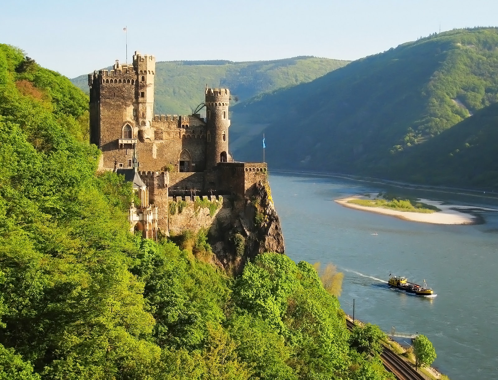
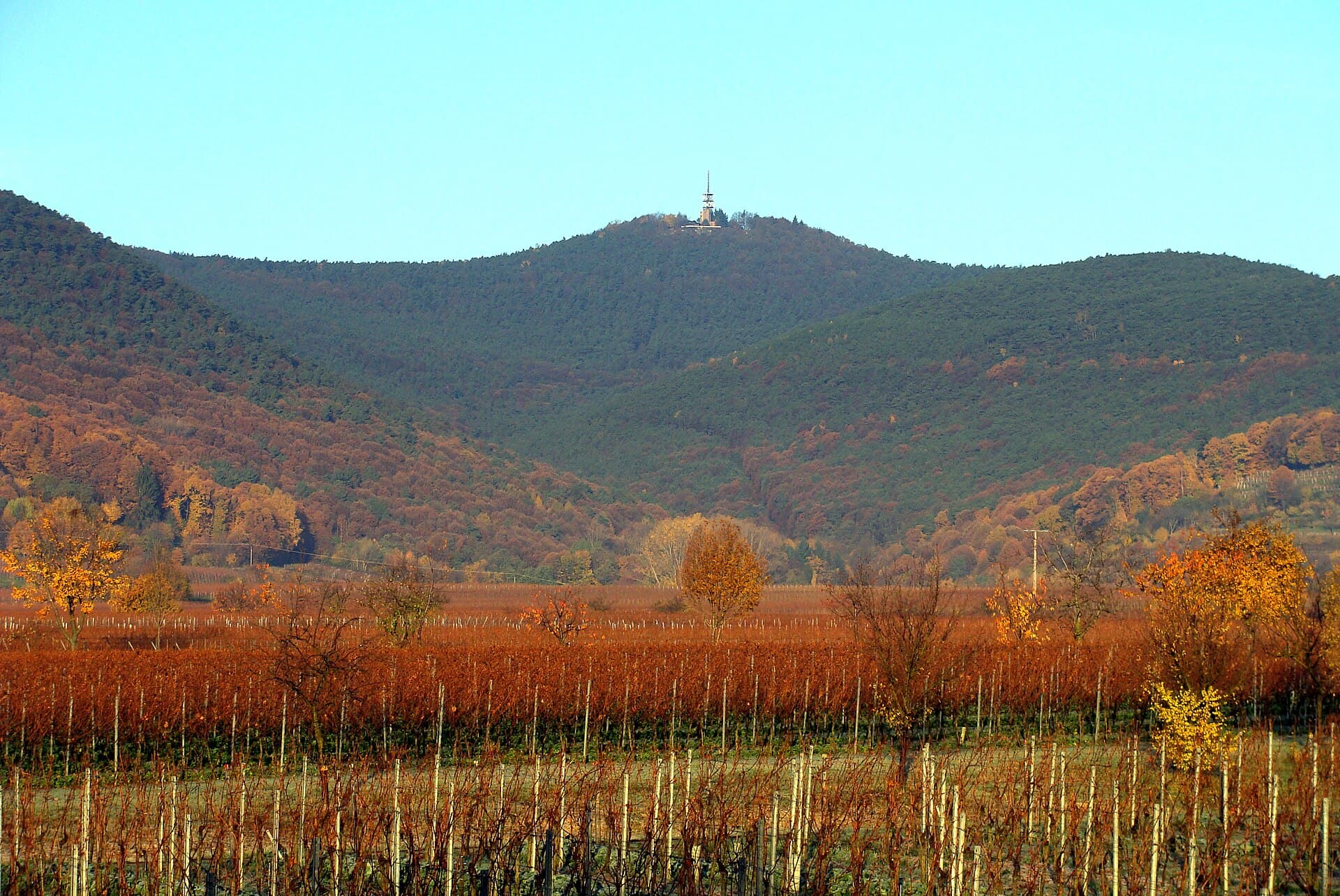
The Soonwaldsteig is an 84.2 km long-distance hiking trail located in Rhineland-Palatinate, Germany. The route passes through forests, valleys and ridges characteristic of the Soonwald massif, also offering views of vineyards and lakes dotting the path. Cliffs and summits punctuate the way, varying the atmosphere throughout the trail. This trek winds through a diverse natural landscape typical of this region in south-west Germany.
Stages
| Departure | Arrival | Accommodation on arrival | Profile | Duration | Distance | +Elev. | −Elev. |
|---|---|---|---|---|---|---|---|
1 KirnTown | BundenbachVillage | 4h15 | 14.1 km | +530 m | −429 m | ||
2 BundenbachVillage | GehlweilerVillage | 5h15 | 16.4 km | +672 m | −472 m | ||
3 GehlweilerVillage | RheinböllenTown | 7h45 | 28.2 km | +669 m | −776 m | ||
4 RheinböllenTown | RüdesheimTown | 7h00 | 25.6 km | +629 m | −930 m |
Elevation profile
How to get there
Public transport
Fully accessibleThe Soonwaldsteig is easily accessible by train thanks to its two termini, Kirn and Bingen am Rhein, both served by the German regional rail network. The start and end points of the trail can be reached on foot from the train stations.
More informationBy car
Similar treks
Explore