Pfalzer Waldpfad
Photo © Dmitry Tonkonog and Ksenia Fedosova
6-10 days
204.2 km
2864 m
606 m
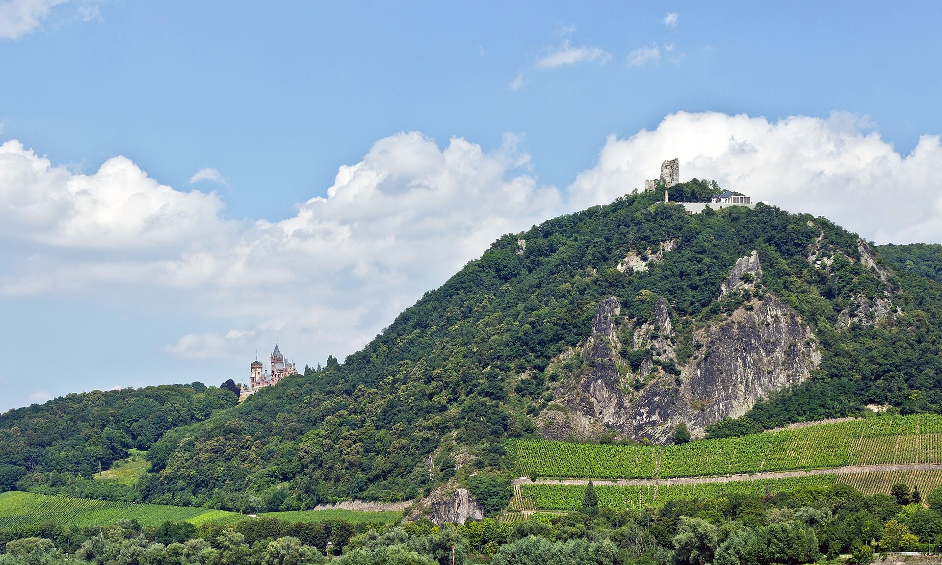
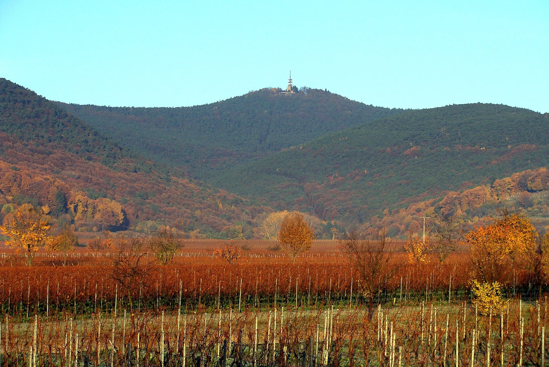
The Pfalzer Waldpfad is a 204.2 km hiking route crossing the Rhineland-Palatinate region of Germany. The trail winds through forests, valleys and along cliffsides, offering an immersive experience in the varied landscapes of the Palatinate Forest. Lakes and summits punctuate the route, with a highest point of 606 metres above sea level. This linear route constitutes a complete and representative crossing of this forested massif in south-west Germany.
Stages
| Departure | Arrival | Accommodation on arrival | Profile | Duration | Distance | +Elev. | −Elev. |
|---|---|---|---|---|---|---|---|
1 HermersbergerhofTown | BremerhofHotel | 6h30 | 28 km | +177 m | −350 m | ||
2 BremerhofHotel | Gasthaus Pension WaldesruheLodge | 6h00 | 23.2 km | +421 m | −322 m | ||
3 Gasthaus Pension WaldesruheLodge | Naturfreundehaus GalgenberghausLodge | 5h45 | 23.2 km | +310 m | −498 m | ||
4 Naturfreundehaus GalgenberghausLodge | Feriendorf MerzalbenLodge | 5h00 | 18.8 km | +383 m | −378 m | ||
5 Feriendorf MerzalbenLodge | Hauensteiner HofHotel | 6h45 | 24.4 km | +550 m | −554 m | ||
6 Hauensteiner HofHotel | ErfweilerVillage | 6h00 | 23.2 km | +429 m | −486 m | ||
7 ErfweilerVillage | Schweigen-RechtenbachVillage | 8h15 | 30.8 km | +638 m | −641 m | ||
8 Schweigen-RechtenbachVillage | TrippstadtTown | — | 7h45 | 32.6 km | +253 m | −0 m |
Elevation profile
How to get there
Public transport
Fully accessibleThe Pfälzer Waldpfad is accessible by public transport. The official starting point in Kaiserslautern is located directly at the main railway station (ICE), while the endpoint at Schweigen-Rechtenbach is served by buses providing connections to the railway stations of Wissembourg (France) or Bad Bergzabern. Several localities along the route, such as Schopp, Waldfischbach-Burgalben, Rodalben, Hauenstein, Dahn and Erlenbach, also have railway stations or bus lines, making it easy to join or leave the route.
By car
Similar treks

Explore