Nurtschweg
Photo © Ondřej Žváček
4-7 days
133.9 km
2186 m
892 m
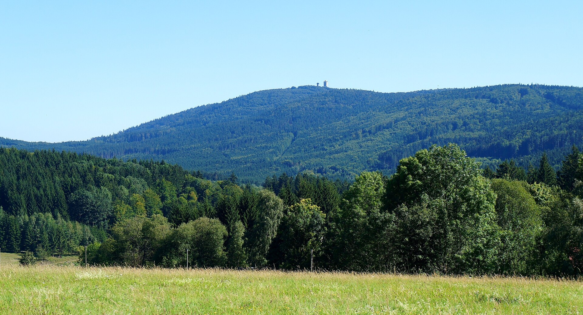
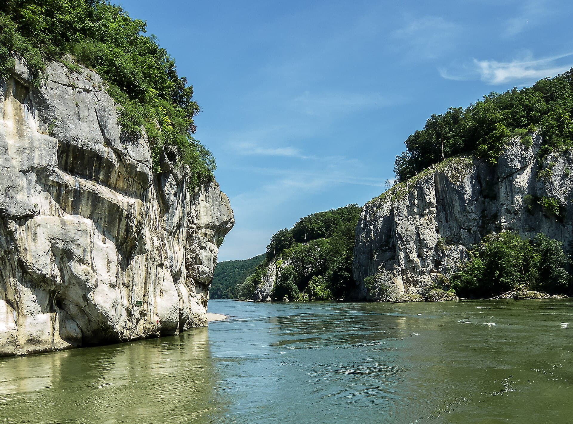
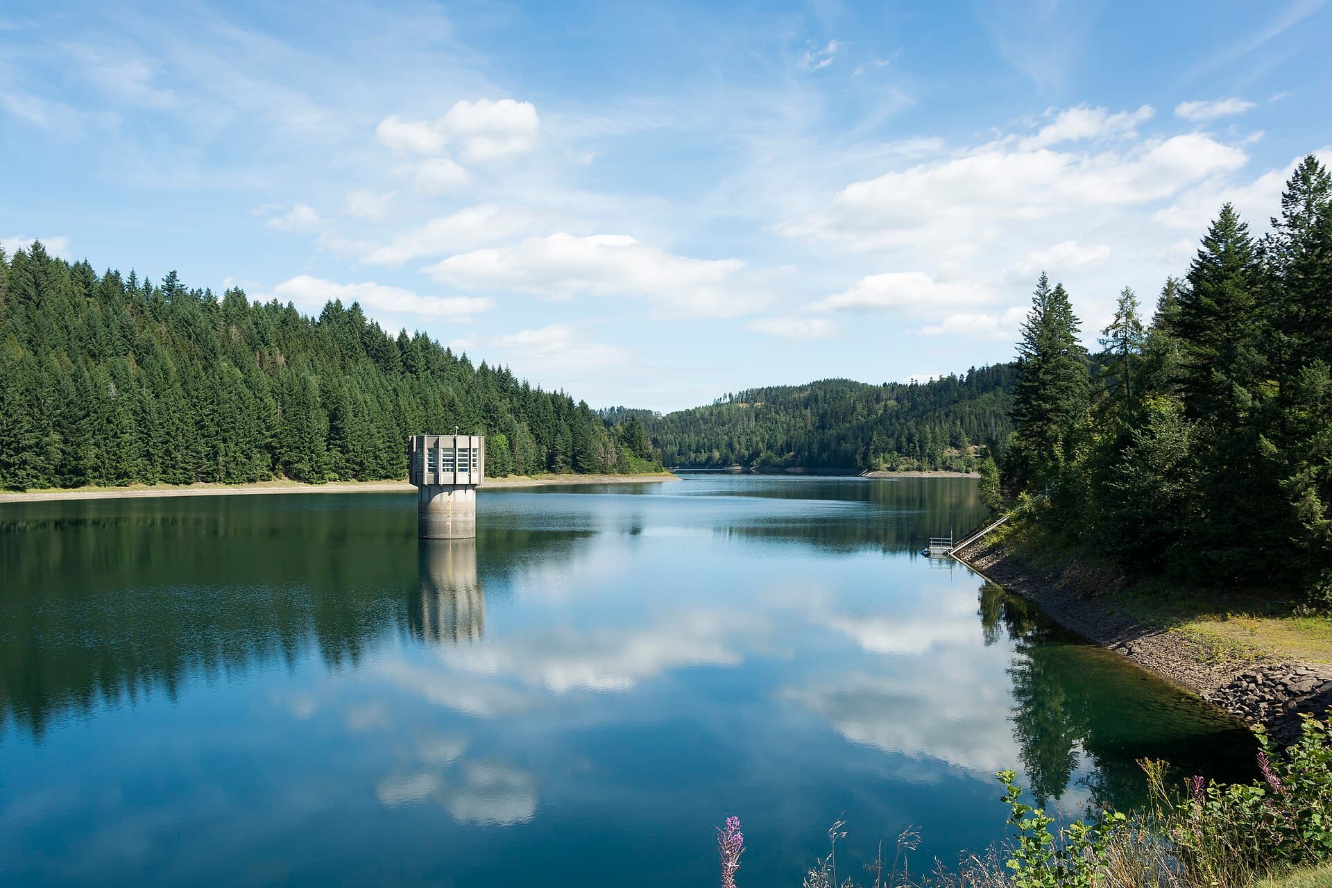
The Nurtschweg is a 133.9 km hiking route located in Bavaria, Germany, in the districts of Tirschenreuth, Neustadt an der Waldnaab and Cham. The route passes through forests and along lakes, offering an immersive experience in the natural landscapes of north-eastern Bavaria. The highest point of the trek reaches 892 metres in altitude, with a total positive elevation gain of 2,186 metres. The route unfolds through a varied natural environment, alternating between wooded areas and lakeside stretches.
Stages
| Departure | Arrival | Accommodation on arrival | Profile | Duration | Distance | +Elev. | −Elev. |
|---|---|---|---|---|---|---|---|
1 WaldsassenTown | Bad NeualbenreuthVillage | 4h45 | 19 km | +253 m | −292 m | ||
2 Bad NeualbenreuthVillage | BärnauTown | 9h00 | 34.3 km | +644 m | −602 m | ||
3 BärnauTown | KastanienhofHotel | 5h45 | 21.3 km | +448 m | −390 m | ||
4 KastanienhofHotel | PfrentschVillage | 3h00 | 12 km | +203 m | −312 m | ||
5 PfrentschVillage | DietersdorfVillage | 5h00 | 17.8 km | +428 m | −248 m | ||
6 DietersdorfVillage | WaldmünchenTown | 7h45 | 29.6 km | +578 m | −802 m |
Elevation profile
How to get there
Public transport
Fully accessibleThe Nurtschweg is accessible by public transport. The official starting point in Waldsassen is connected by regional buses to the train stations of Marktredwitz and Cheb (Czech Republic), while the finishing point in Waidhaus is served by buses providing connections to the train stations of Weiden in der Oberpfalz or Neustadt an der Waldnaab.
By car
Similar treks
Explore