Bayern·Germany
Frankenwaldsteig
Photo © Namenloser Hobbyhistoriker
Duration
5-7 days
Distance
137.4 km
Elevation gain
2575 m
Max altitude
793 m
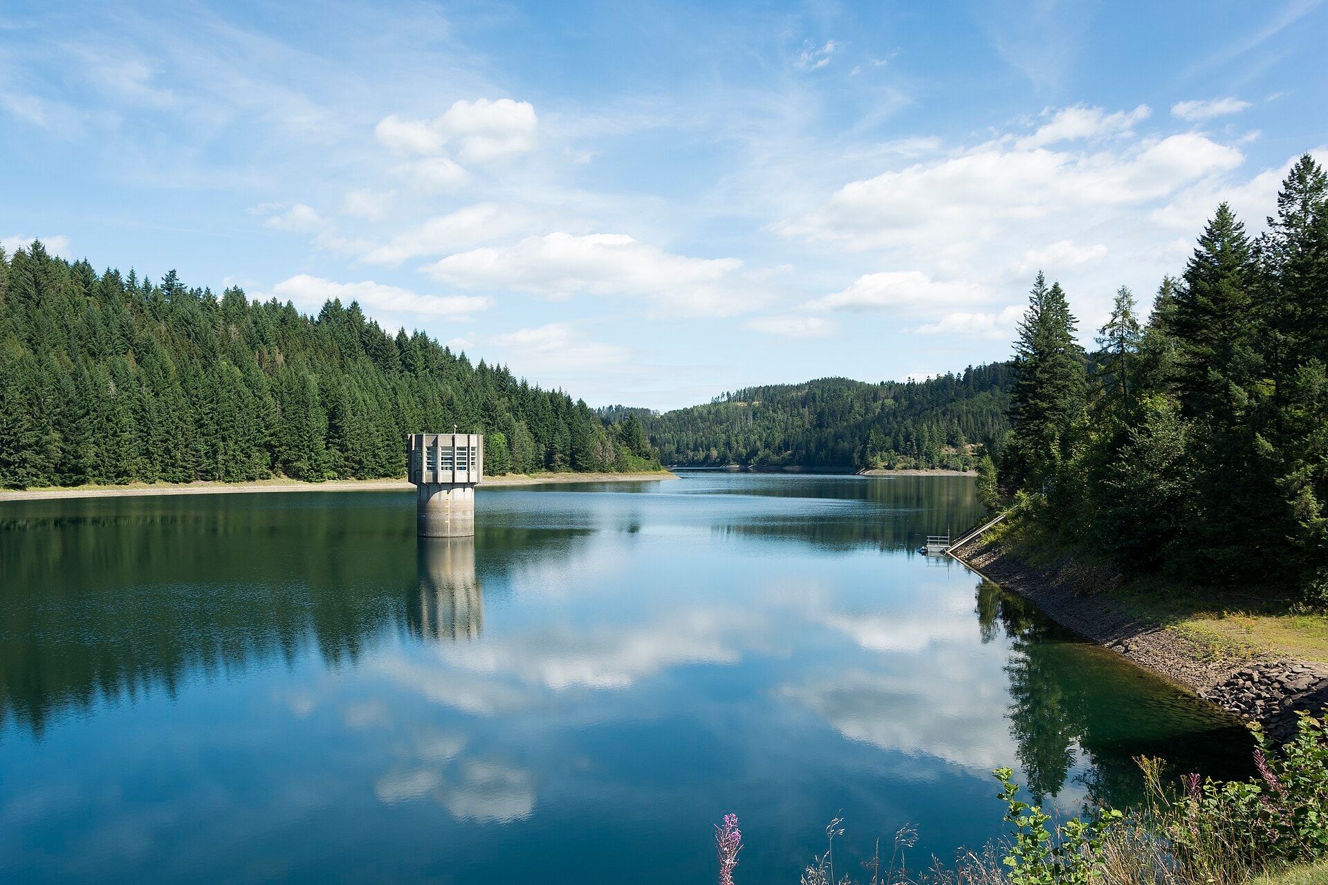
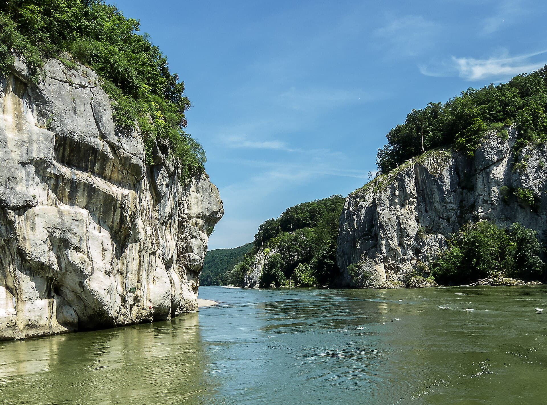
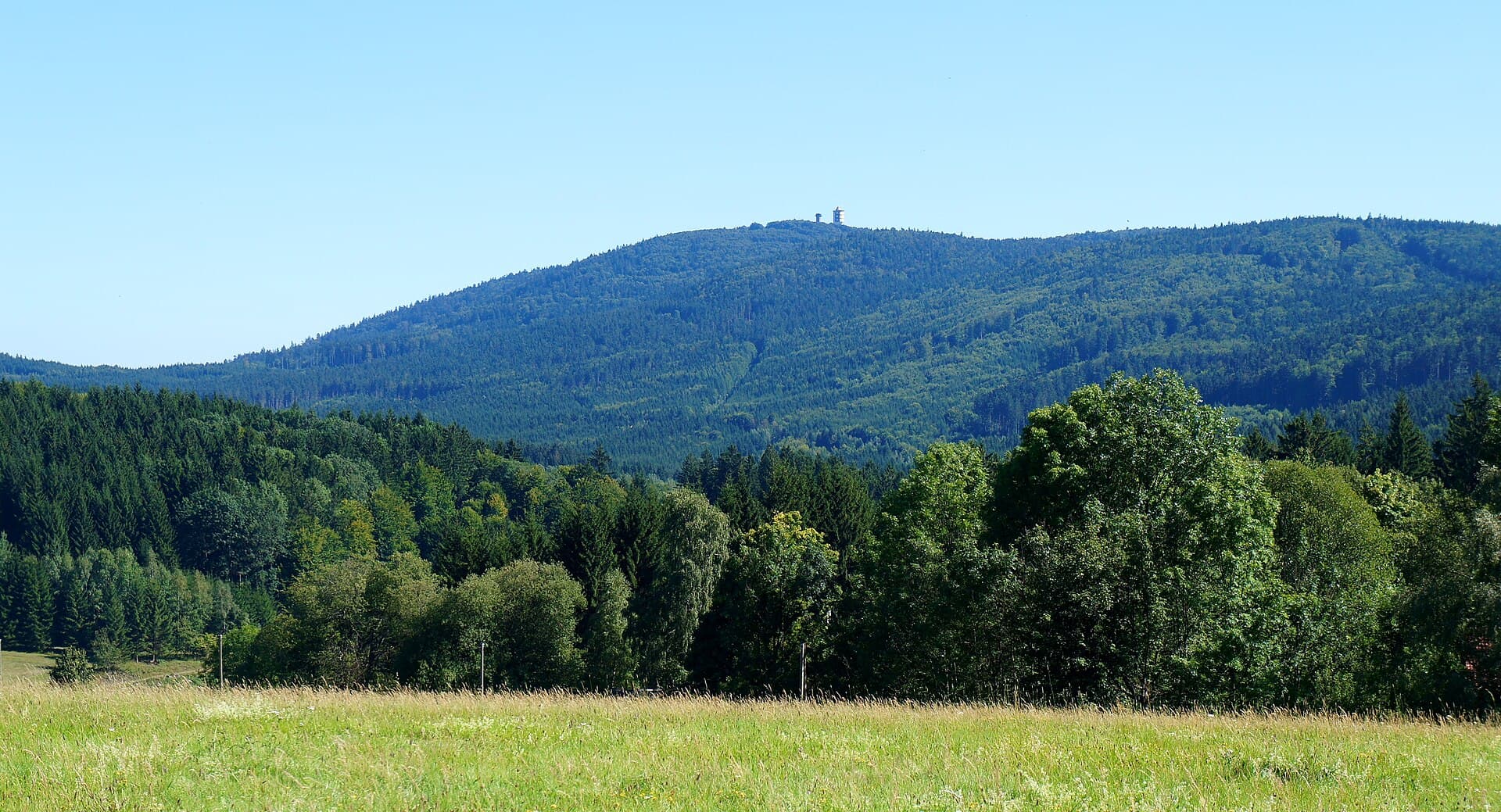
The Frankenwaldsteig is a 137.4 km hiking trail crossing the Frankenwald massif in Bavaria (Germany). The route winds through deep forests, along summits and cliffs characteristic of this region of northern Bavaria. The trail also offers stops by lakes dotting the route, with a highest point at 793 metres above sea level. This trek provides full immersion in a preserved natural environment, between wooded hills and open landscapes.
SummitsLakesForestsCliffs
Stages
6
days
Overnight accommodation type
13 overnight locations
DifficultyModerate
Duration / day6h15
Distance / day22.9 km
Elev. gain / day+495 m
Hardest stage
1Kulmbach
34.5 km · +846 m · 9h30| Departure | Arrival | Accommodation on arrival | Profile | Duration | Distance | +Elev. | −Elev. |
|---|---|---|---|---|---|---|---|
1 KronachTown | KulmbachTown | 9h30 | 34.5 km | +846 m | −800 m | ||
2 KulmbachTown | LudwigschorgastVillage | 6h00 | 22.8 km | +376 m | −398 m | ||
3 LudwigschorgastVillage | Landgasthof HaueisHotel | 5h30 | 21 km | +413 m | −230 m | ||
4 Landgasthof HaueisHotel | ElbersreuthVillage | 7h15 | 26.8 km | +580 m | −461 m | ||
5 ElbersreuthVillage | RodeckVillage | 5h00 | 18.3 km | +459 m | −530 m | ||
6 RodeckVillage | NailaTown | — | 3h45 | 14.2 km | +298 m | −286 m |
Elevation profile
How to get there
Public transport
Fully accessibleThe FrankenwaldSteig is accessible by public transport. The official starting point at Blankenstein has a railway station on the line connecting Hof, while the finish at Bad Steben is also served by train.
By car
Similar treks
Explore