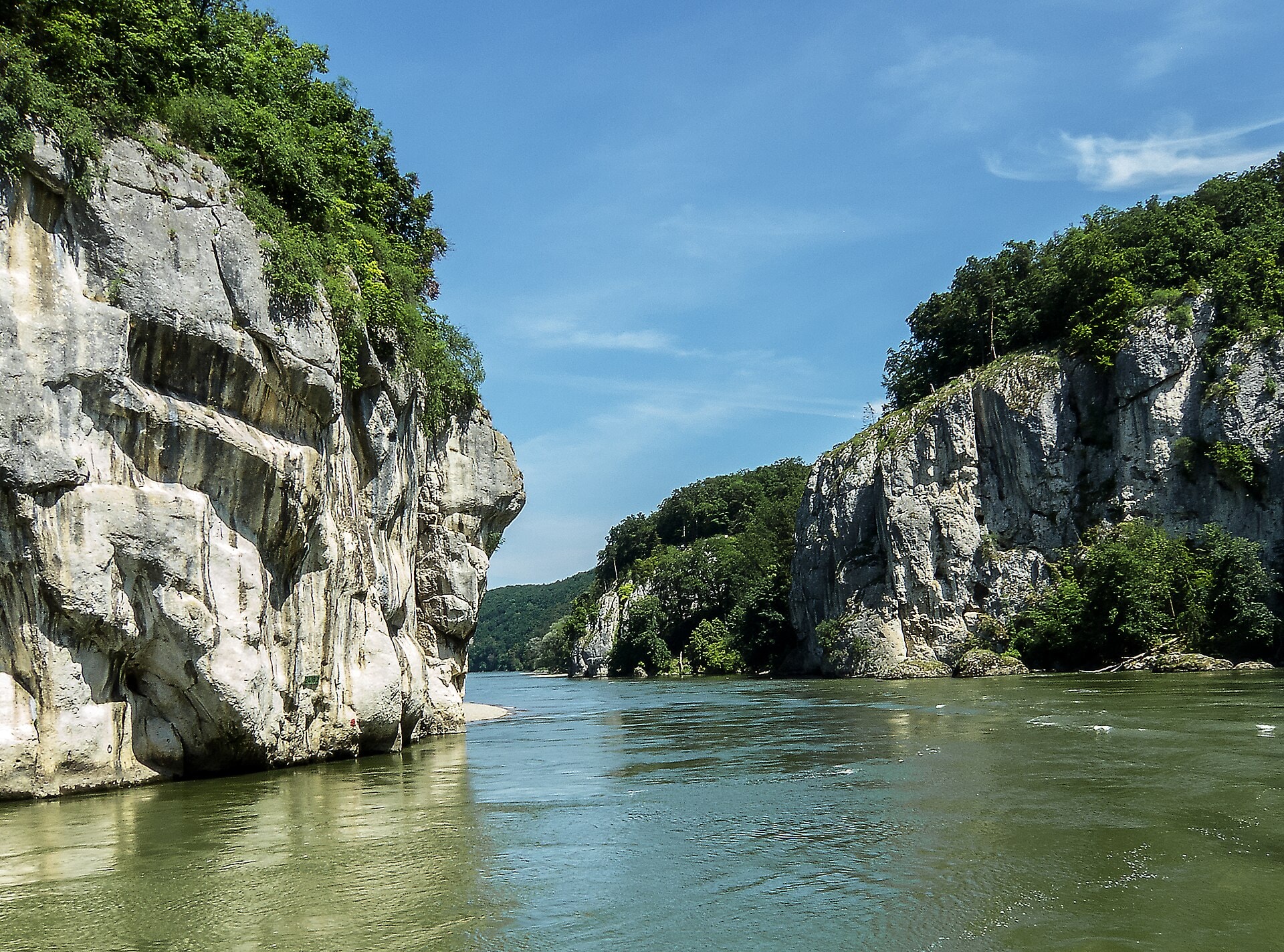
Altmuhltal Panoramaweg
Photo © Fischer.H
7-10 days
203 km
3648 m
630 m
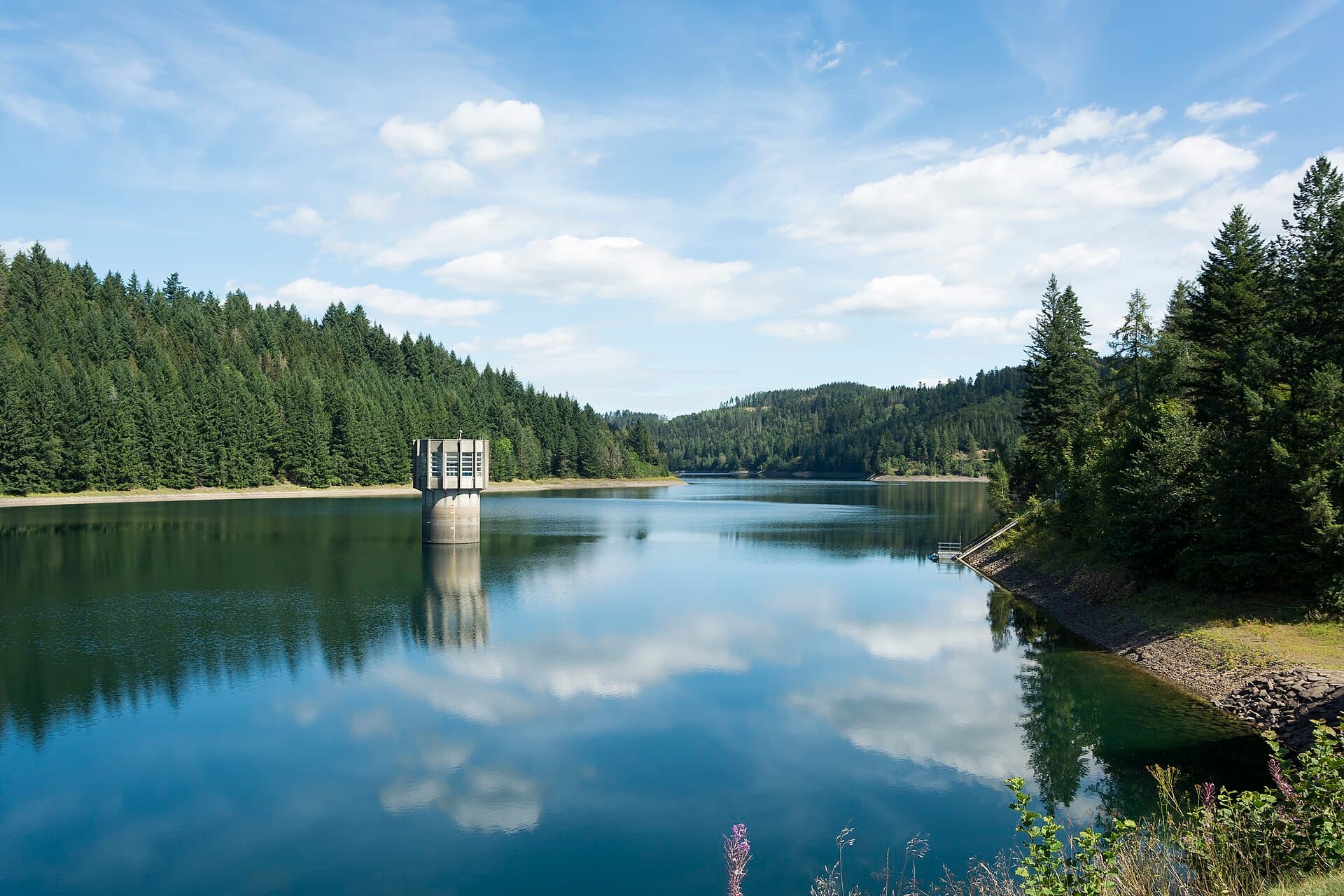
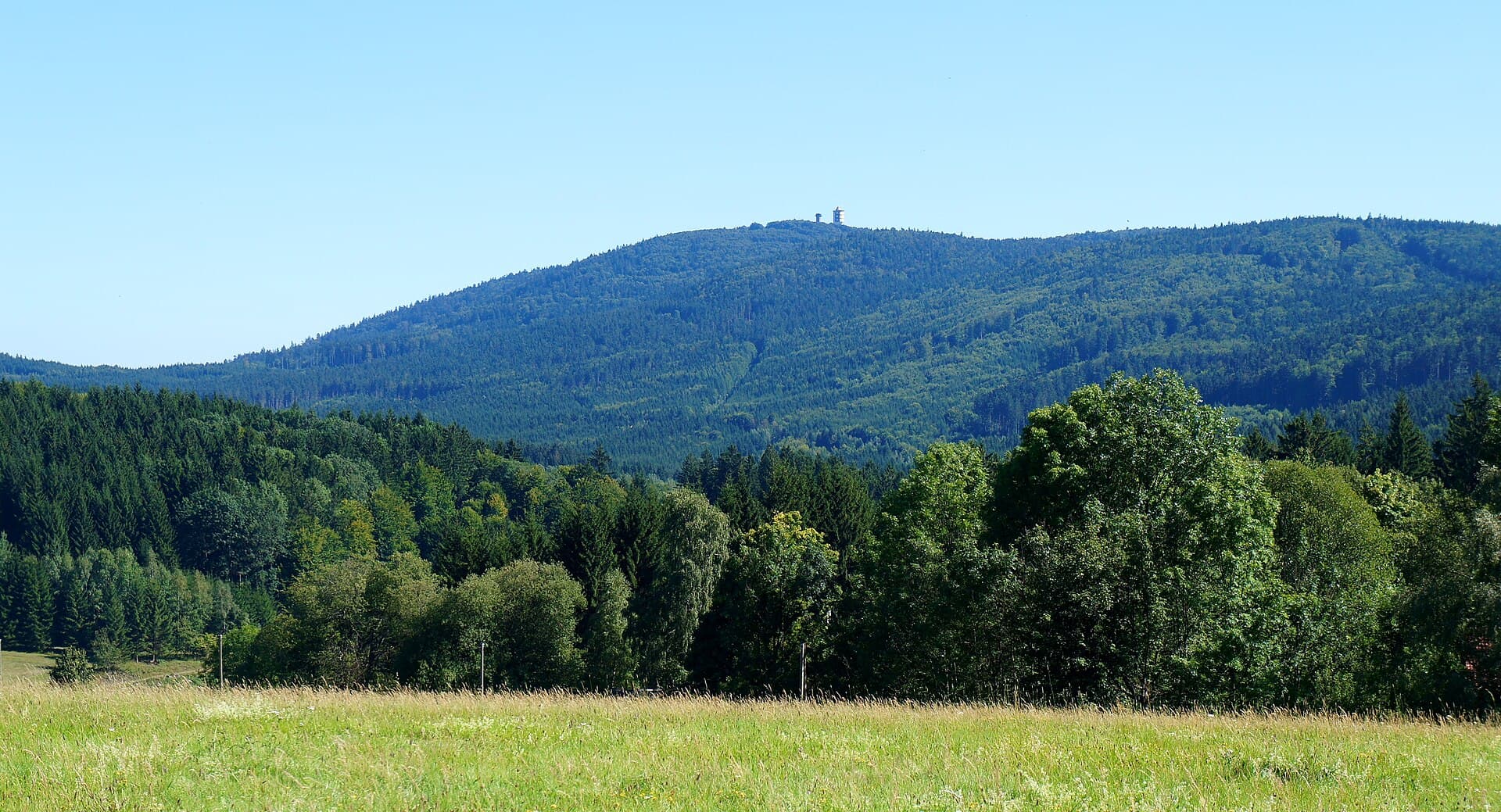
The Altmühltal Panoramaweg is a 203 km hiking route crossing Bavaria (Bayern), Germany. The trail unfolds its landscapes through valleys, forests, cliffs, ridges and caves, also offering views of lakes and vineyards. The route follows the Altmühl natural region, a vast nature reserve dotted with characteristic limestone formations. With a highest point at 630 m above sea level, this waymarked trail offers a gradual immersion into the varied and authentic landscapes of Bavaria.
Stages
| Departure | Arrival | Accommodation on arrival | Profile | Duration | Distance | +Elev. | −Elev. |
|---|---|---|---|---|---|---|---|
1 GunzenhausenTown | SpielbergVillage | 2h45 | 10.4 km | +165 m | −43 m | ||
2 SpielbergVillage | TreuchtlingenTown | 7h45 | 30 km | +524 m | −645 m | ||
3 TreuchtlingenTown | MörnsheimVillage | 5h45 | 21.6 km | +473 m | −458 m | ||
4 MörnsheimVillage | MariensteinVillage | 6h00 | 22 km | +483 m | −466 m | ||
5 MariensteinVillage | Haus BiberLodge | 6h30 | 24.4 km | +474 m | −516 m | ||
6 Haus BiberLodge | UnteremmendorfVillage | 6h30 | 23.6 km | +623 m | −633 m | ||
7 UnteremmendorfVillage | Dietfurt an der AltmühlTown | 6h00 | 22.8 km | +388 m | −375 m | ||
8 Dietfurt an der AltmühlTown | Hotel Gasthof Zur PostHotel | 6h30 | 24.4 km | +503 m | −559 m | ||
9 Hotel Gasthof Zur PostHotel | KelheimTown | 6h15 | 23.8 km | +481 m | −487 m |
Elevation profile
How to get there
Public transport
Fully accessibleThe Altmühltal-Panoramaweg is particularly well served by public transport, with the Altmühl valley railway line running alongside a large part of the route. The official starting point at Gunzenhausen is accessible by train from Nuremberg and Munich, while the finish at Kelheim is connected by bus to Saal an der Donau station, from where trains run to Regensburg (Regensburg).
By car
Similar treks
Explore