Alta Via 5 Delle Dolomiti
Photo © 2015 Michael 2015
4-6 days
77.6 km
5699 m
2603 m
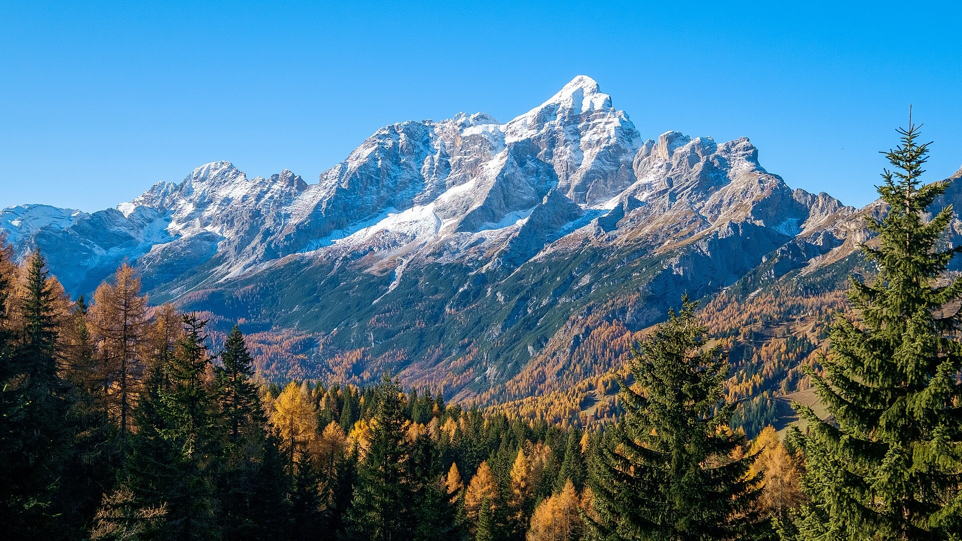
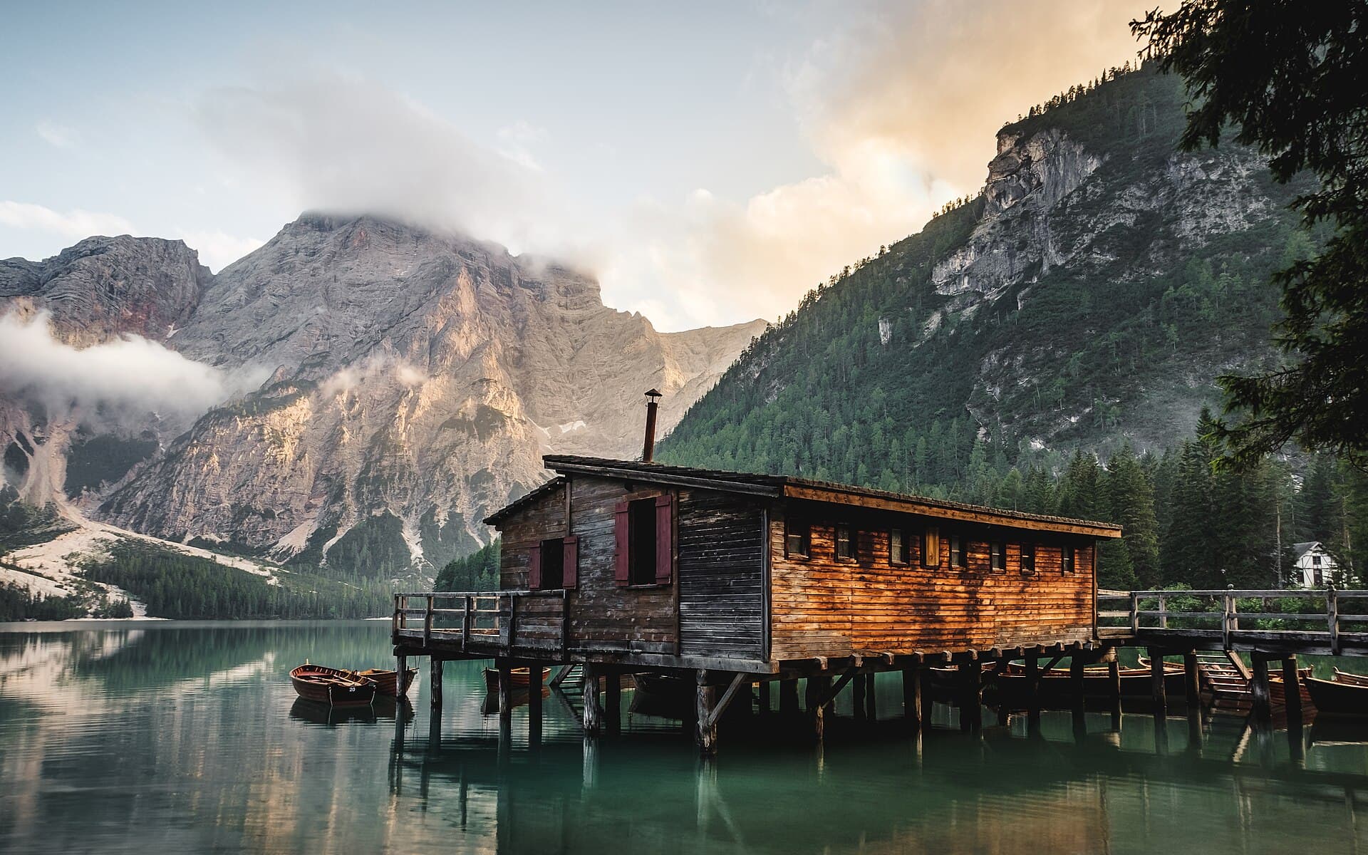
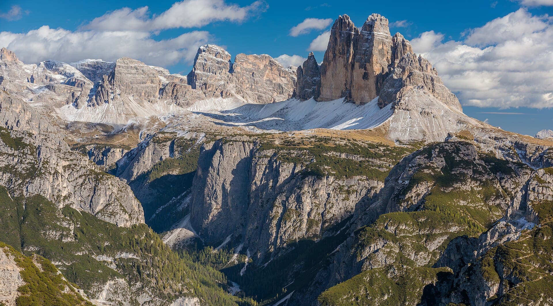
The Alta Via N°5 delle Dolomiti is a high-mountain route of 77.6 km crossing the Dolomites between Trentino-Alto Adige and Veneto, in Italy. The trail winds through summits, ridges, valleys, cliffs, forests and lakes, with a highest point at 2,603 metres above sea level. The landscapes encountered offer a remarkable diversity of landforms characteristic of the Dolomites. The significant cumulative elevation change, with nearly 5,700 metres of ascent and 6,100 metres of descent, reflects the committed and alpine nature of this route. This trek takes place entirely in Italy, at the heart of a massif listed as a UNESCO World Heritage Site.
Stages
| Departure | Arrival | Accommodation on arrival | Profile | Duration | Distance | +Elev. | −Elev. |
|---|---|---|---|---|---|---|---|
1 Sexten - SestoTown | GiralbaVillage | 7h00 | 19.4 km | +1,190 m | −1,540 m | ||
2 GiralbaVillage | Rifugio BajonHut | 5h30 | 13 km | +1,188 m | −320 m | ||
3 Rifugio BajonHut | Bivacco MusattiHut | 6h00 | 13.6 km | +1,318 m | −1,050 m | ||
4 Bivacco MusattiHut | Rifugio Scotter-PalatiniHut | 5h45 | 13.8 km | +1,250 m | −1,488 m | ||
5 Rifugio Scotter-PalatiniHut | Pieve di CadoreTown | 6h15 | 17.8 km | +1,012 m | −1,988 m |
Elevation profile
How to get there
Public transport
Fully accessibleThe Alta Via 5 delle Dolomiti is accessible by public transport. The starting point at Sesto (Sexten) is served by regional buses from the San Candido (Innichen) railway station, which is connected to the Italian and Austrian rail networks. The finishing point at Pieve di Cadore is linked by bus to Calalzo di Cadore, where a railway station provides connections to Belluno, Venice and the rest of the rail network.
By car
Similar treks
Explore