Alta Via 4 Delle Dolomiti
Photo © Ximonic
4-6 days
79.5 km
4776 m
2563 m
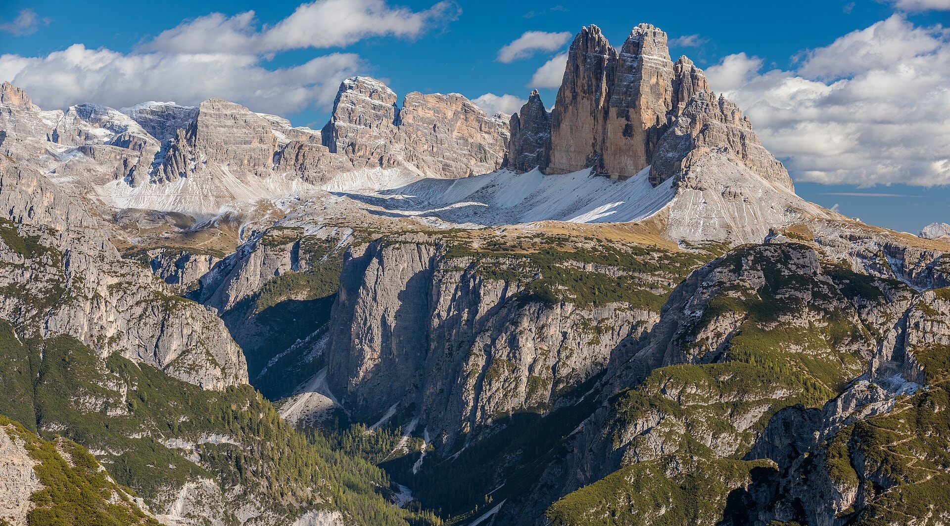
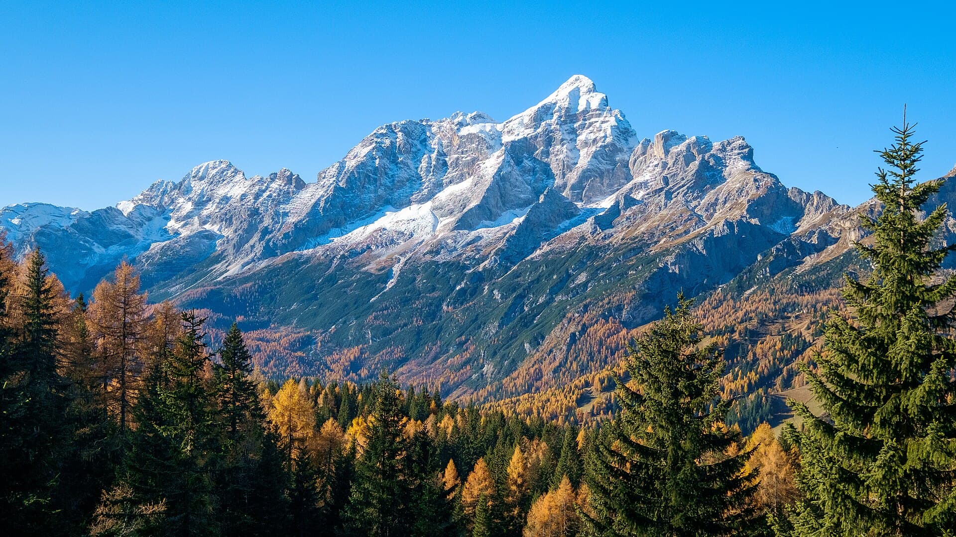
The Alta Via N°4 delle Dolomiti is a high-mountain route of 79.5 km crossing the Dolomites between Trentino-Alto Adige and Veneto, in Italy. The trail winds through summits, ridges, valleys, cliffs, lakes and forests, with a highest point at 2,563 metres above sea level. This is a character-filled trek, punctuated by high-mountain landscapes typical of the Dolomite massif. The route is part of the great tradition of the Alte Vie, those iconic traverses linking refuges and cols at the heart of the Dolomites, a UNESCO World Heritage Site.
Stages
| Departure | Arrival | Accommodation on arrival | Profile | Duration | Distance | +Elev. | −Elev. |
|---|---|---|---|---|---|---|---|
1 Innichen - San CandidoTown | Dreizinnenhütte - Rifugio Antonio Locatelli/Sepp InnerkoflerHut | 6h15 | 15.2 km | +1,324 m | −93 m | ||
2 Dreizinnenhütte - Rifugio Antonio Locatelli/Sepp InnerkoflerHut | Rifugio Fonda SavioHut | 4h00 | 13 km | +453 m | −560 m | ||
3 Rifugio Fonda SavioHut | Rifugio VandelliHut | 6h45 | 21 km | +962 m | −1,336 m | ||
4 Rifugio VandelliHut | Ricovero Invernale Gianni PierazzoHut | 6h15 | 13.8 km | +1,384 m | −1,288 m | ||
5 Ricovero Invernale Gianni PierazzoHut | Pieve di CadoreTown | 5h30 | 16.5 km | +846 m | −1,825 m |
Elevation profile
How to get there
Public transport
Fully accessibleThe Alta Via 4 delle Dolomiti is accessible by public transport at both ends. The official starting point is San Candido (Innichen), served by regional trains from Bolzano, Verona and Innsbruck. The finish at Pieve di Cadore is connected by bus to Calalzo di Cadore, where a train station allows onward travel to Belluno, Venice and the rest of the Italian rail network. The main localities along the route, such as Misurina, are also served by seasonal bus lines, making access or an early exit from the trek straightforward.
By car
Similar treks
Explore