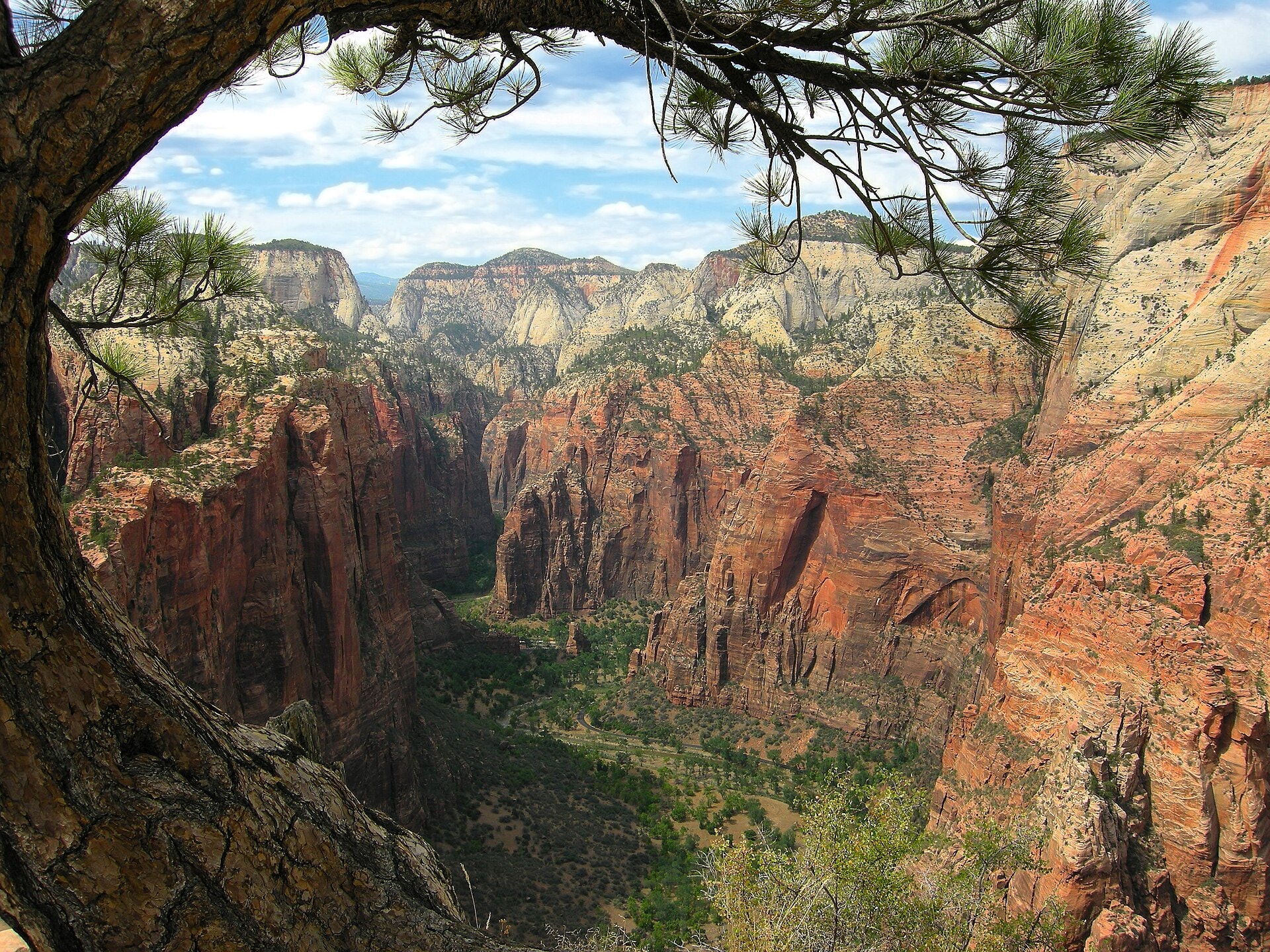
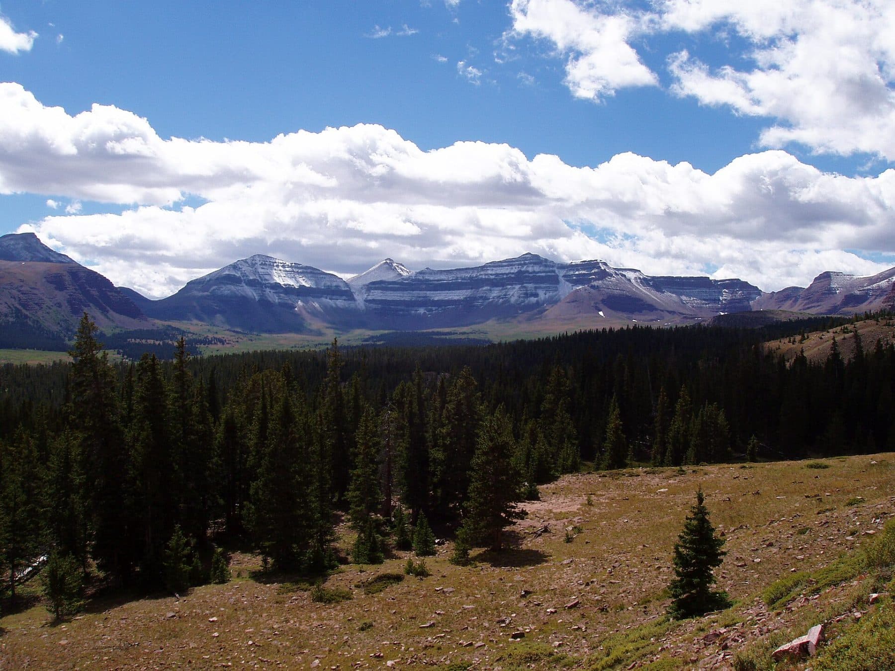
Zion Traverse
Photo © Tobias Alt
3-4 days
77.3 km
2188 m
2269 m
The Zion Traverse is a 77.3 km route that crosses Zion National Park in Utah. The trail winds through a succession of summits, cliffs, ridges, forests, and valleys, offering a complete immersion in the iconic landscapes of this emblematic canyon of the American West. The maximum elevation reached is 2,269 metres, with a cumulative positive elevation gain of 2,188 metres. This point-to-point trek connects two ends of the park by crossing varied and contrasting environments.
Stages
| Departure | Arrival | Accommodation on arrival | Profile | Duration | Distance | +Elev. | −Elev. |
|---|---|---|---|---|---|---|---|
1 sommetSummit | Hop Valley BBivouac | 3h30 | 13.2 km | +310 m | −414 m | ||
2 Hop Valley BBivouac | Lava Point CampgroundCamping | 6h15 | 21.6 km | +697 m | −191 m | ||
3 Lava Point CampgroundCamping | Zion LodgeHamlet | 6h30 | 23.6 km | +532 m | −1,479 m | ||
4 Zion LodgeHamlet | sommetSummit | — | 6h15 | 19 km | +934 m | −488 m |
Elevation profile
How to get there
Public transport
Fully accessibleThe Zion Traverse is accessible by public transport to Zion National Park, but not directly to all trailheads. The most common starting point at Lee Pass is accessible via the park shuttle or a private shuttle from Springdale, which is itself connected by bus to Saint George and Las Vegas. The finish at East Entrance or East Rim Trailhead generally requires a private shuttle to return to Springdale, as there is no public transport between the two ends of the route.
By car
Similar treks
Explore