Uinta Highline Trail
Photo © Hkw2
6-9 days
166.3 km
5120 m
3857 m
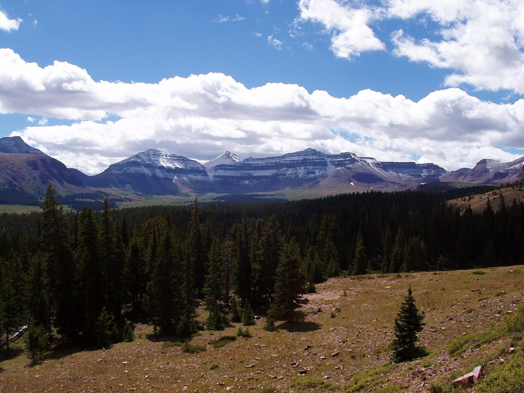
The Uinta Highline Trail is one of the wildest and most spectacular hiking routes in the American West, crossing the Uinta Mountains range in Utah from end to end. Spanning 166.3 km in a single stretch, this exceptional trek takes you through preserved high-mountain landscapes: alpine lakes with crystal-clear waters, wind-swept ridges, and vast plateaus above 3,000 metres. With a highest point of 3,857 metres and a total elevation gain of 5,120 metres, every kilometre rewards the hiker with a breathtaking panorama. This legendary trail, located mostly within the Ashley and Wasatch-Cache National Forest, offers total immersion in untouched nature, far from any urban hustle. A must-do adventure for all lovers of wide open spaces and American wilderness.
Stages
| Departure | Arrival | Accommodation on arrival | Profile | Duration | Distance | +Elev. | −Elev. |
|---|---|---|---|---|---|---|---|
1 Deer Lodge Summer Home AreaHamlet | Red Springs CampgroundCamping | 8h45 | 28.8 km | +1,011 m | −361 m | ||
2 Red Springs CampgroundCamping | bivouacBivouac | 38h15 | 130.2 km | +4,215 m | −4,287 m | ||
3 bivouacBivouac | Butterfly Lake CampgroundCamping | 1h15 | 4.2 km | +127 m | −64 m | ||
4 Butterfly Lake CampgroundCamping | MoosehornBivouac | 0h00 | 0.2 km | +14 m | −0 m |
Elevation profile
How to get there
By car
Explore