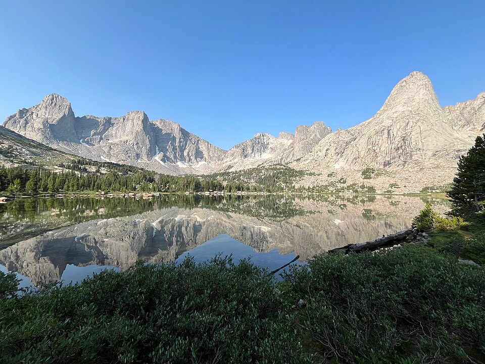
Wind River High Route
Photo © Derrellwilliams
6-9 days
166.9 km
5019 m
3741 m
The Wind River High Route is a high-mountain route of 166.9 km crossing Wyoming, in the Wind River Range. The trail winds through a varied landscape of cliffs, ridges, lakes, summits, glaciers and forests, reaching a maximum elevation of 3,741 metres. Mostly off marked trail, it requires strong wilderness navigation skills. The route crosses one of the most pristine mountain ranges in the United States, offering complete immersion in rarely visited high-altitude environments.
Stages
| Departure | Arrival | Accommodation on arrival | Profile | Duration | Distance | +Elev. | −Elev. |
|---|---|---|---|---|---|---|---|
1 Green River Lakes CampgroundCamping | campingCamping | 42h45 | 146.3 km | +4,638 m | −3,943 m | ||
2 campingCamping | campingCamping | 0h30 | 1 km | +91 m | −0 m | ||
3 campingCamping | campingCamping | 4h30 | 14.6 km | +510 m | −869 m | ||
4 campingCamping | Temple Creek Summer Home AreaHamlet | — | 1h15 | 5.1 km | +6 m | −114 m |
Elevation profile
How to get there
Public transport
Fully accessibleThe most common starting point at Big Sandy Trailhead is accessible by bus to Rock Springs or Pinedale, then by private shuttle or taxi to the trailhead. The endpoint at Green River Lakes Trailhead can also be reached by shuttle or taxi to Pinedale, from where buses connect to the main cities of Wyoming. There is no public transport to either trailhead, but several local companies offer shuttles between Pinedale and the start or end points.
By car
Similar treks
Explore