Via Spluga
Photo © Schölla Schwarz
3-4 days
69 km
2328 m
2113 m
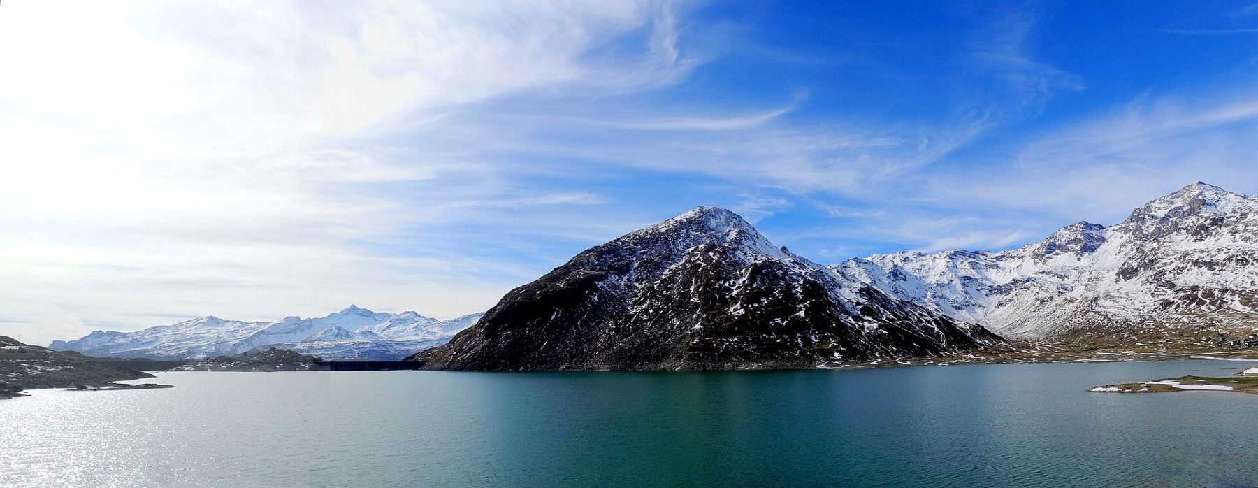
The Via Spluga is a legendary trek linking Italy to Switzerland via one of the most historic alpine passes in the Alps. Over 69 km, the route unfolds breathtaking landscapes of vertiginous gorges, lush alpine meadows, and snow-capped peaks, with a high point of 2,118 m above sea level. A positive elevation gain of 2,577 m and a negative elevation of 2,945 m make this a demanding and unforgettable adventure for hikers seeking authenticity. Dotted with picturesque villages and traces of the history of transalpine trade, the Via Spluga offers a total immersion in the culture and nature of the Rhaetian Alps. An exceptional route that ranks among the most beautiful cross-border treks in Europe.
Stages
| Departure | Arrival | Accommodation on arrival | Profile | Duration | Distance | +Elev. | −Elev. |
|---|---|---|---|---|---|---|---|
1 ThusisTown | AndeerVillage | 6h00 | 17.3 km | +943 m | −660 m | ||
2 AndeerVillage | SplügenVillage | 4h45 | 13.9 km | +785 m | −258 m | ||
3 SplügenVillage | MadesimoVillage | 5h15 | 16.8 km | +710 m | −829 m | ||
4 MadesimoVillage | ChiavennaTown | — | 5h15 | 21.1 km | +220 m | −1,281 m |
Elevation profile
How to get there
Public transport
Fully accessibleAccess by public transport to the Via Spluga is feasible via the Swiss (SBB) and Italian (Trenitalia) rail networks, with the stations of Thusis (on the Swiss side) and Chiavenna (on the Italian side) being the closest entry points depending on the chosen direction. PostBus or regional bus connections can complement access to the trek's starting or ending villages. As timetables and connections are subject to change, it is strongly recommended to check current schedules directly with the official operators (SBB: sbb.ch; Trenitalia: trenitalia.com) before your departure.
More informationBy car
Explore