Via Albula Bernina
Photo © Ximonic
5-7 days
131.6 km
3696 m
2474 m
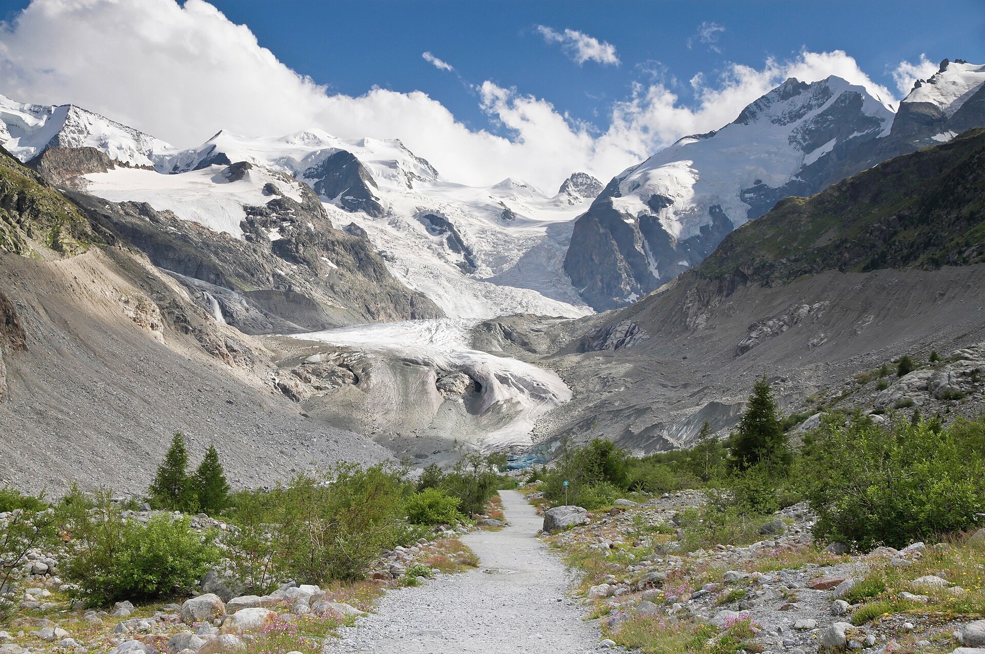
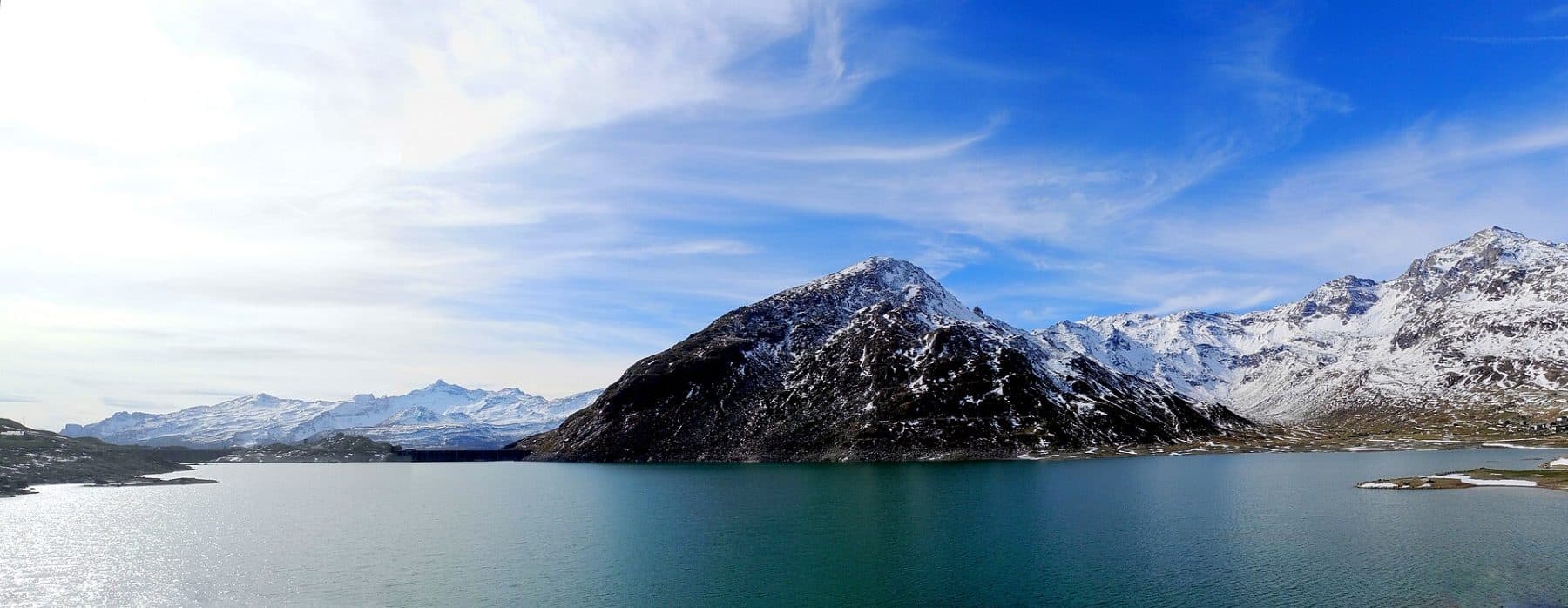
The Via Albula Bernina is a 131.6 km trek crossing Switzerland and Italy, between the canton of Graubünden and Lombardy. The route unfolds its varied landscapes through alpine valleys, forests, lakes, ridges and cliffs, offering a succession of panoramas over the surrounding summits. The trail crosses high-altitude passes, with a highest point at 2,474 m, before descending towards vineyards characteristic of the southern slopes. This traverse links the typical mountain landscapes of the Rhaetian Alps to more Mediterranean environments as it approaches Lombardy.
Stages
| Departure | Arrival | Accommodation on arrival | Profile | Duration | Distance | +Elev. | −Elev. |
|---|---|---|---|---|---|---|---|
1 ThusisTown | TiefencastelVillage | 6h15 | 19.5 km | +842 m | −677 m | ||
2 TiefencastelVillage | SagliazHamlet | 6h30 | 21.8 km | +792 m | −295 m | ||
3 SagliazHamlet | Berggasthaus SpinasHotel | 6h30 | 18.3 km | +1,141 m | −689 m | ||
4 Berggasthaus SpinasHotel | Hotel PalüHotel | 5h45 | 21.8 km | +403 m | −395 m | ||
5 Hotel PalüHotel | Alp GrümHamlet | 6h00 | 20.5 km | +608 m | −310 m | ||
6 Alp GrümHamlet | TiranoTown | 7h15 | 29.8 km | +250 m | −1,943 m |
Elevation profile
How to get there
Public transport
Fully accessibleThe Via Albula/Bernina is accessible by public transport along its entire route. Both the starting point at Thusis and the finishing point at Tirano have railway stations. The route largely follows the lines of the Rhätische Bahn (RhB), a UNESCO World Heritage Site, making it easy to join or leave the trek at many stages such as Bergün, Preda, Pontresina, Ospizio Bernina or Poschiavo.
By car
Similar treks
Explore