Via Engiadina
Photo © Biovit
7-10 days
161.6 km
6414 m
2573 m
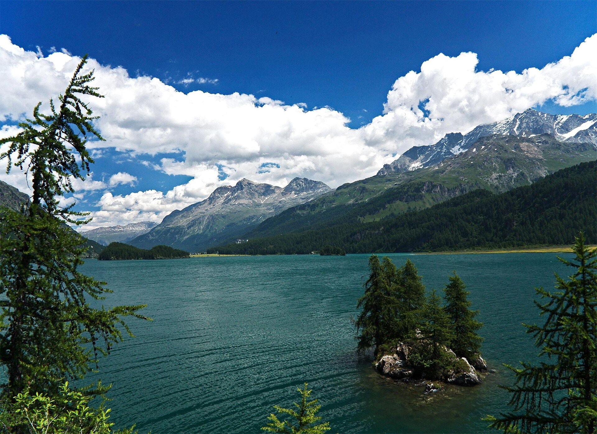
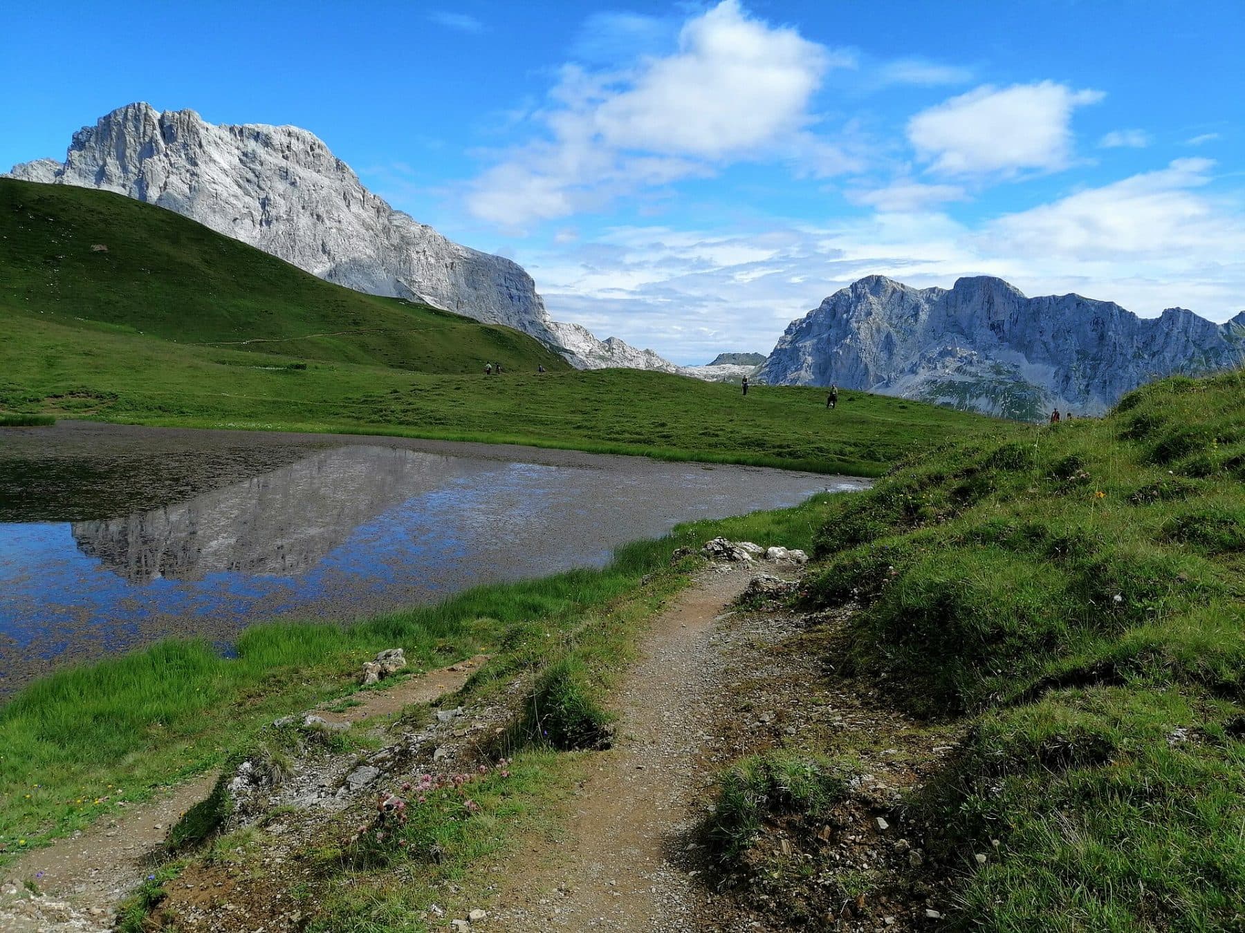
The Via Engiadina is a major long-distance trek in Switzerland that crosses the entire Engadine over approximately 160 km, from Maloja to Vinadi, on the Austrian border. The trail alternates between traditional villages, larch forests, alpine lakes and panoramic views of the Graubünden summits. The route follows the Inn valley and offers full immersion in Romansh culture. Among the highlights are Saint-Moritz, the Swiss National Park, and the historic villages of Guarda and Zuoz.
Stages
| Departure | Arrival | Accommodation on arrival | Profile | Duration | Distance | +Elev. | −Elev. |
|---|---|---|---|---|---|---|---|
1 MalojaTown | St. MoritzTown | 6h45 | 20.2 km | +1,067 m | −676 m | ||
2 St. MoritzTown | La PuntHamlet | 6h30 | 20.5 km | +833 m | −1,154 m | ||
3 La PuntHamlet | BrailHamlet | 5h30 | 18.3 km | +699 m | −884 m | ||
4 BrailHamlet | LavinVillage | 5h30 | 19.3 km | +497 m | −748 m | ||
5 LavinVillage | GuardaVillage | 4h45 | 12.4 km | +944 m | −647 m | ||
6 GuardaVillage | ArdezVillage | 4h30 | 13.8 km | +647 m | −912 m | ||
7 ArdezVillage | FtanVillage | 5h00 | 13.7 km | +826 m | −227 m | ||
8 FtanVillage | VnàVillage | 5h45 | 20.9 km | +541 m | −970 m | ||
9 VnàVillage | ValsotTown | — | 5h15 | 18.8 km | +478 m | −1,023 m |
Elevation profile
How to get there
Public transport
Fully accessibleThe trek starts in Maloja, accessible by train to Saint-Moritz and then by regional bus to Maloja. The finish point in Vinadi allows easy access to the Swiss rail network via Scuol-Tarasp and the Rhaetian Railway (RhB) lines. Buses also serve the main villages of the Engadine throughout the route.
By car
Similar treks
Explore