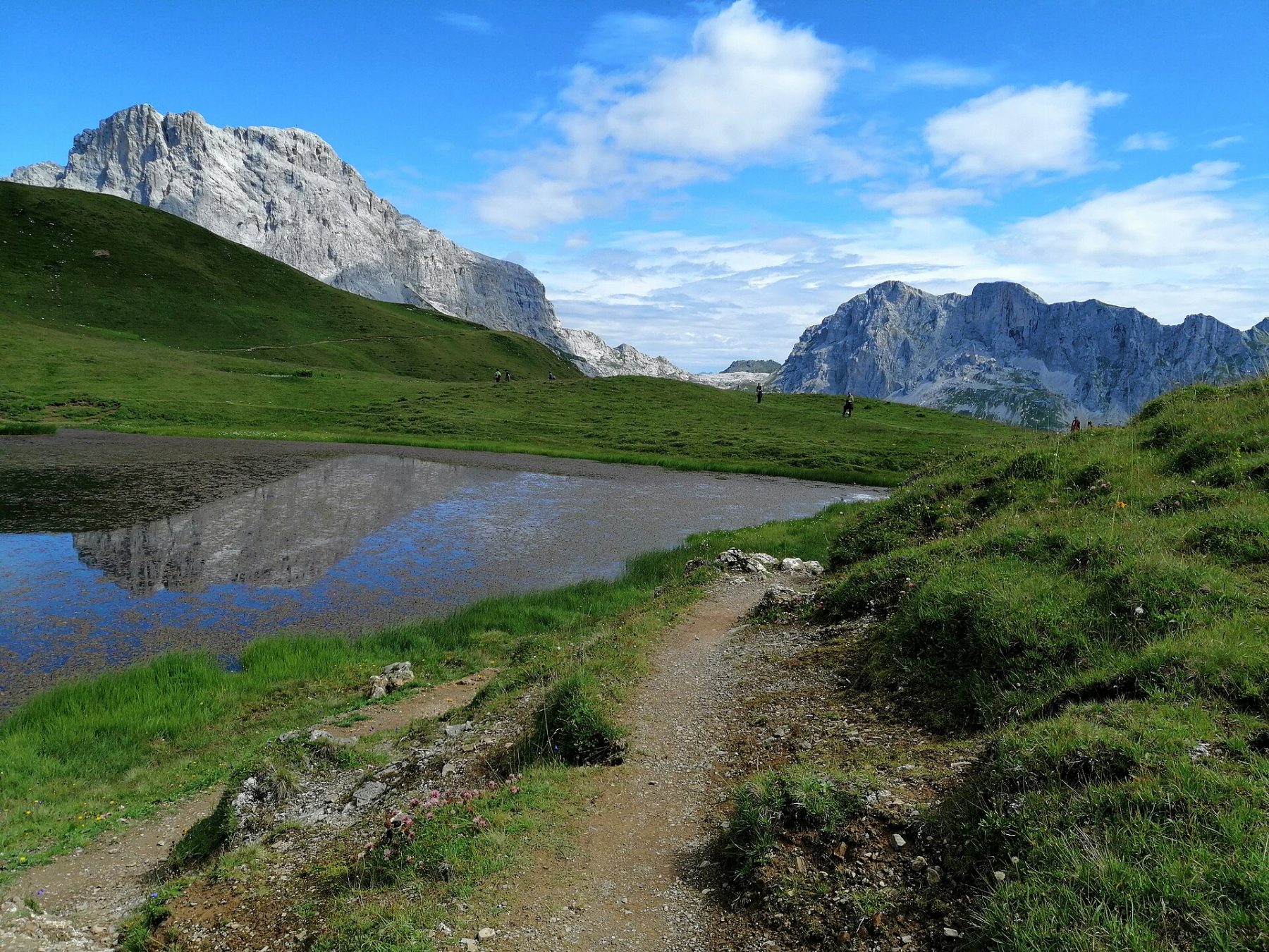
Prättigauer Höhenweg
Photo © Paebi
3-5 days
76.1 km
3522 m
2291 m
The Prättigauer Höhenweg is a long-distance hiking route of 76 km in the heart of the canton of Graubünden, Switzerland. The trail runs along the impressive limestone cliffs of the Rätikon massif and offers constant panoramic views over the Prättigau valley and the Swiss Alps. Between alpine pastures, mountain lakes, alpine passes and traditional Walser villages, the route crosses some of the most spectacular landscapes in eastern Switzerland.
Stages
| Departure | Arrival | Accommodation on arrival | Profile | Duration | Distance | +Elev. | −Elev. |
|---|---|---|---|---|---|---|---|
1 IgisTown | Seewis DorfVillage | 4h15 | 11 km | +774 m | −277 m | ||
2 Seewis DorfVillage | SchesaplanahütteHut | 6h15 | 15.9 km | +1,243 m | −233 m | ||
3 SchesaplanahütteHut | Sankt AntönienVillage | 8h15 | 24.9 km | +1,209 m | −1,242 m | ||
4 Sankt AntönienVillage | KlostersTown | 6h00 | 21.9 km | +496 m | −1,298 m |
Elevation profile
How to get there
Public transport
Fully accessibleThe Prättigauer Höhenweg is particularly easy to reach thanks to the Swiss rail network. The main starting points, Landquart and Klosters, are served by SBB and RhB (Rhätische Bahn) trains. PostBus connections also allow travellers to reach localities along the route, including St. Antönien. The entire trek can be accessed and departed using public transport, without a car.
More informationBy car
Explore