Tour Du Saint Bernard
Photo © Rémih
5-7 days
99.5 km
5930 m
2889 m
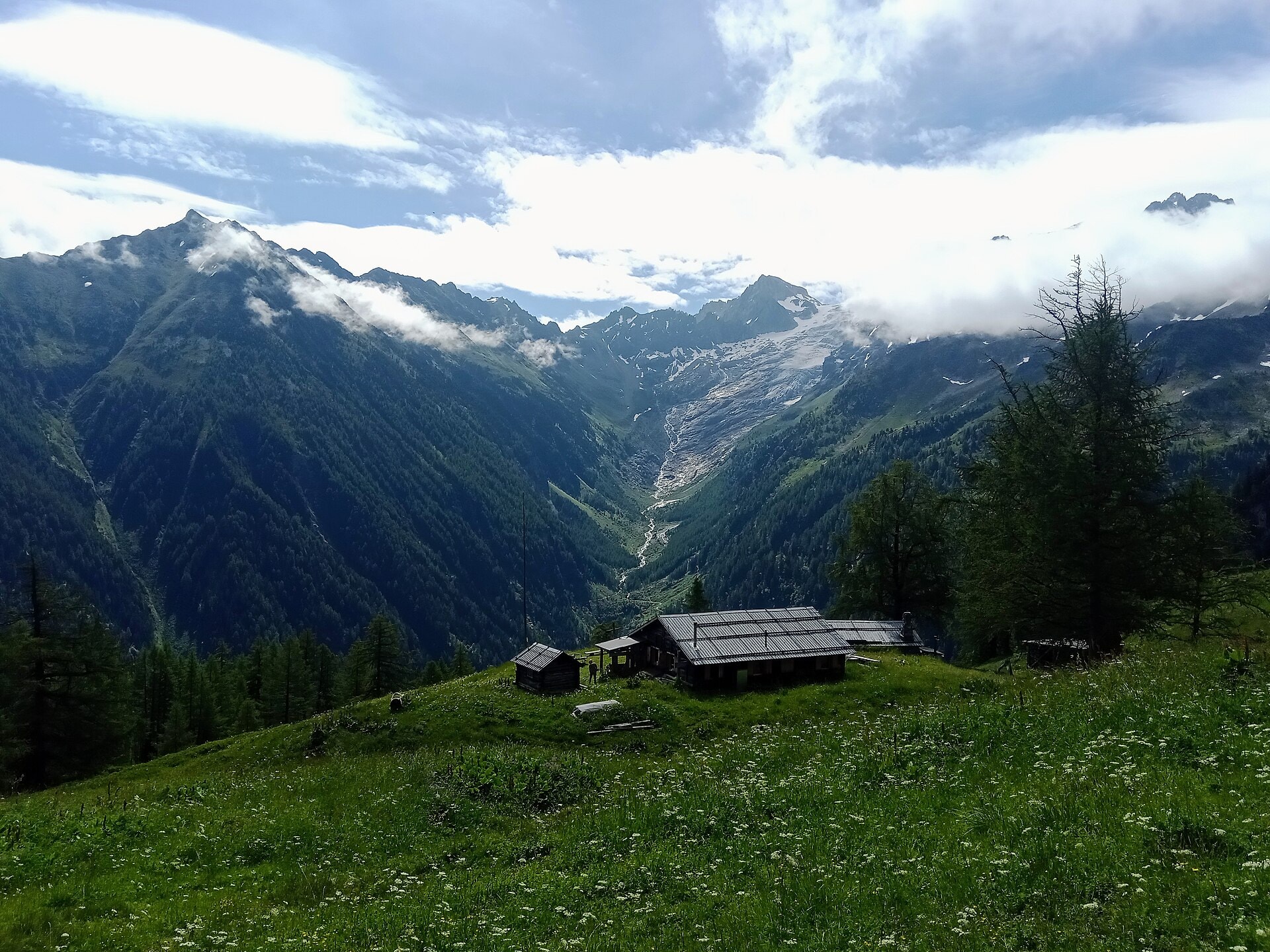
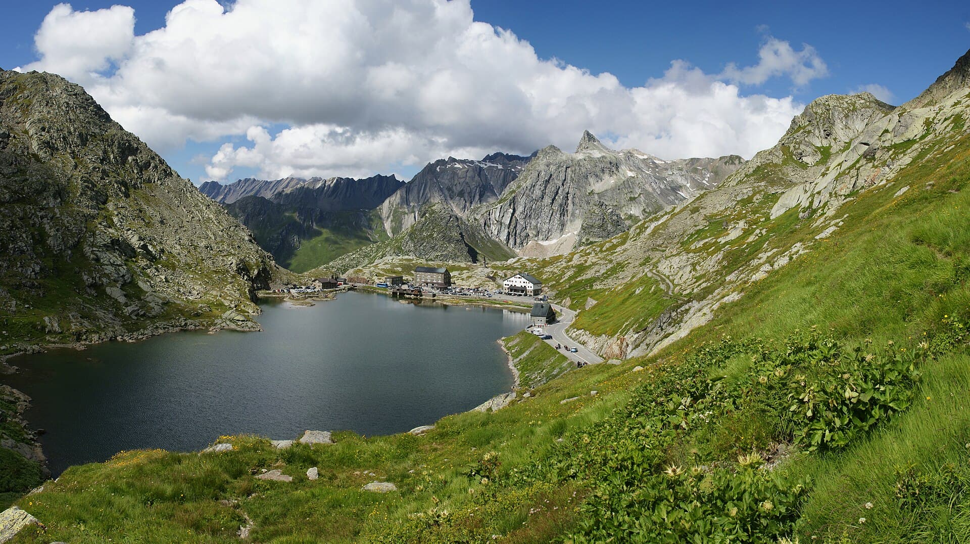
The Tour du Saint-Bernard is a 99.5 km route that crosses the regions of Valais (Switzerland) and the Vallée d'Aoste (Italy). The trail winds between summits, ridges and valleys, with a maximum altitude of 2,889 metres, offering a high-mountain alpine itinerary of a cross-border nature. The tour passes through varied landscapes including forests, lakes, cliffs and ridges characteristic of the border Alpine massifs. The route unfolds across two countries, alternating between Swiss and Italian slopes along the cols and high-altitude passes.
Stages
| Departure | Arrival | Accommodation on arrival | Profile | Duration | Distance | +Elev. | −Elev. |
|---|---|---|---|---|---|---|---|
1 Bourg-Saint-PierreTown | FontintesHamlet | 5h45 | 14.3 km | +1,175 m | −345 m | ||
2 FontintesHamlet | Rifugio Walter BonattiHut | 6h15 | 16.8 km | +1,127 m | −1,549 m | ||
3 Rifugio Walter BonattiHut | FerretHamlet | 5h45 | 16.6 km | +902 m | −1,168 m | ||
4 FerretHamlet | Cabane de la TsissetteHut | 5h30 | 14 km | +1,123 m | −890 m | ||
5 Cabane de la TsissetteHut | Cabane de MilleHut | 5h30 | 12.8 km | +1,204 m | −735 m | ||
6 Cabane de MilleHut | CourmayeurTown | — | 7h00 | 25 km | +602 m | −1,027 m |
Elevation profile
How to get there
Public transport
Fully accessibleThe Tour du Saint-Bernard is accessible by public transport. The classic starting point at Bourg-Saint-Pierre is served by trains to Orsières, then by postal buses to the village. As the itinerary is a loop, it ends at the same place. In summer, a bus also serves the col du Grand-Saint-Bernard.
By car
Similar treks
Explore