Tour Des Combins
Photo © Hans Hillewaert
5-7 days
100.1 km
5469 m
2855 m
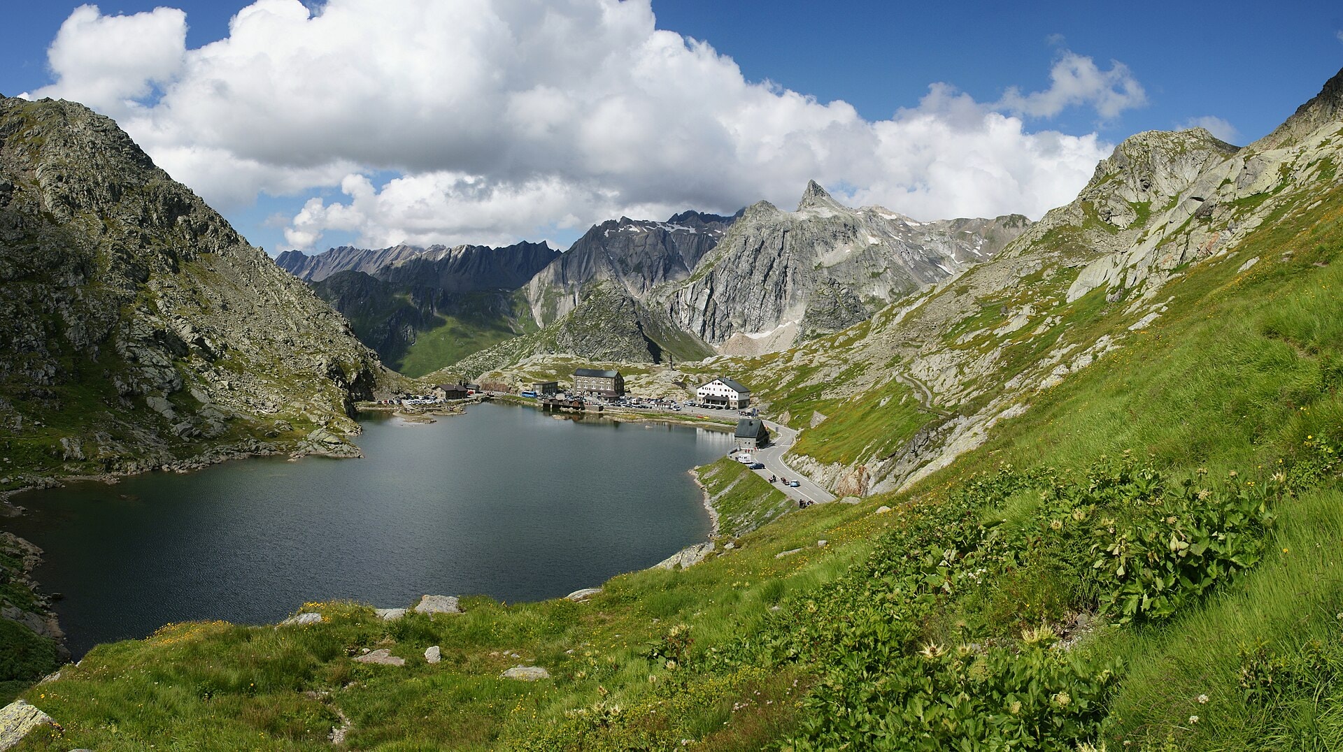
The Tour des Combins is a 100.1 km hiking itinerary that unfolds between Switzerland (canton of Valais) and Italy (Vallée d'Aoste). The route crosses varied landscapes combining summits, ridges, valleys, forests, cliffs, lakes and glaciers, offering a complete immersion in the alpine environments of these two border regions. The maximum altitude reached is 2,855 metres, with a cumulative elevation gain of nearly 5,500 metres. This cross-border trek constitutes a demanding traverse of the Combins massif, linking alpine territories with contrasting geographical characteristics.
Stages
| Departure | Arrival | Accommodation on arrival | Profile | Duration | Distance | +Elev. | −Elev. |
|---|---|---|---|---|---|---|---|
1 Bourg-Saint-PierreTown | Cabane de MilleHut | 5h00 | 12 km | +1,025 m | −192 m | ||
2 Cabane de MilleHut | Cabane FXB PanossièreHut | 5h15 | 15 km | +850 m | −708 m | ||
3 Cabane FXB PanossièreHut | Cabane de ChanrionHut | 6h30 | 17.4 km | +1,242 m | −1,405 m | ||
4 Cabane de ChanrionHut | Rifugio Letey-ChampillonHut | 7h45 | 22.8 km | +1,171 m | −1,166 m | ||
5 Rifugio Letey-ChampillonHut | Saint-Rhémy-en-BossesVillage | 4h15 | 14.8 km | +478 m | −1,291 m | ||
6 Saint-Rhémy-en-BossesVillage | Bourg-Saint-PierreTown | 6h15 | 18.1 km | +982 m | −982 m |
Elevation profile
How to get there
Public transport
Fully accessibleNo public transport access could be reliably detected for the starting point of this trek. The starting point is located in a cross-border alpine area between the Swiss Valais and the Vallée d'Aoste. It is recommended to consult the official websites of local transport companies — such as SBB (www.sbb.ch) for the Swiss side — in order to check available connections and their up-to-date timetables before your departure. For the Italian side (Vallée d'Aoste), please refer directly to local transport operators whose contact details should be verified with the Valdostan tourist office.
More informationBy car
Explore