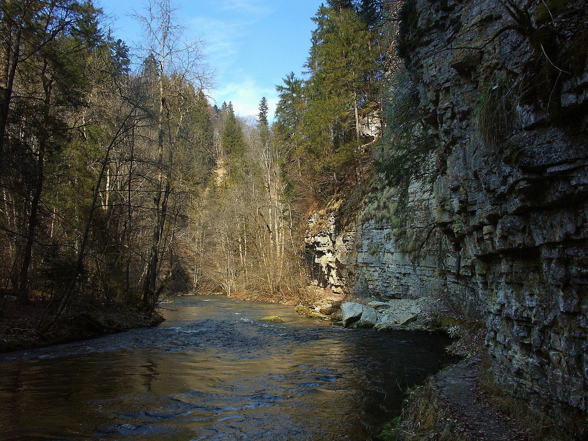
Schluchtensteig
Photo © Mboescg
4-6 days
118.8 km
2689 m
1156 m
The Schluchtensteig is a 118.8 km hiking route crossing the southern Black Forest, in Baden-Württemberg (Germany). The trail winds through deep gorges, runs along cliffs and passes through dense forests, offering an immersive experience in the natural landscapes characteristic of this region. The route also passes near lakes and reveals in places remarkable caves and rock formations. The path follows narrow valleys and offers viewpoints from the heights, with a high point at 1,156 m above sea level. This waymarked route forms a linear and coherent traverse of the southern Black Forest massif.
Stages
| Departure | Arrival | Accommodation on arrival | Profile | Duration | Distance | +Elev. | −Elev. |
|---|---|---|---|---|---|---|---|
1 StühlingenTown | AchdorfVillage | 6h00 | 20.7 km | +620 m | −541 m | ||
2 AchdorfVillage | KappelVillage | 7h45 | 28.3 km | +663 m | −378 m | ||
3 KappelVillage | Hotel KehrwiederLodge | 7h45 | 26.5 km | +787 m | −824 m | ||
4 Hotel KehrwiederLodge | TodtmoosVillage | 5h45 | 19.8 km | +575 m | −540 m | ||
5 TodtmoosVillage | WehrTown | 6h15 | 23.4 km | +505 m | −969 m |
Elevation profile
How to get there
Public transport
Fully accessibleThe Schluchtensteig is one of the easiest German treks to complete by public transport. The official starting point is located in Stühlingen, directly next to the train station, while the finishing point in Wehr is served by buses connecting to the train stations of Bad Säckingen, Waldshut-Tiengen or Basel.
By car
Similar treks
Explore