Natursteig Sieg
Photo © Rondal
7-10 days
196.2 km
4117 m
501 m
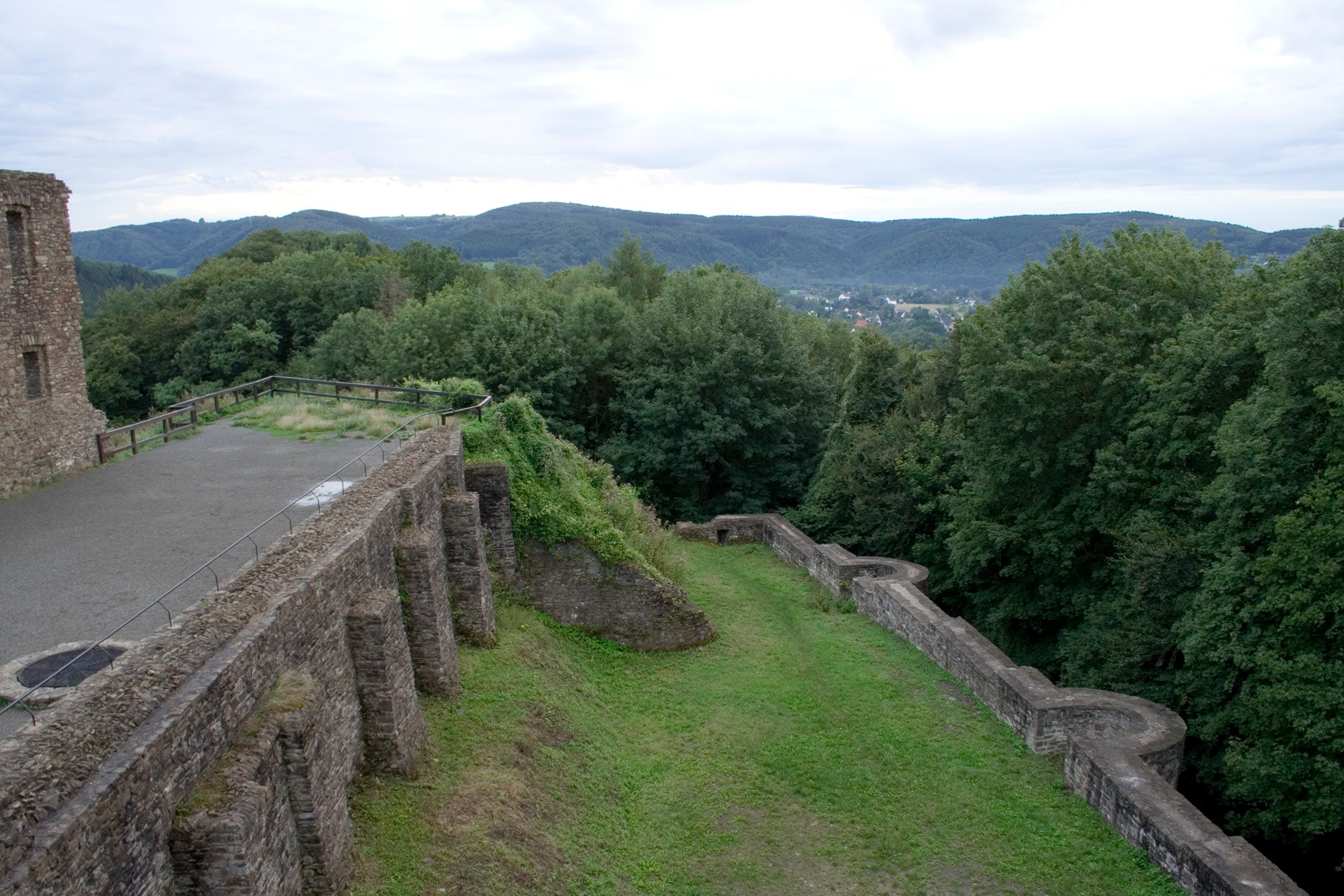
The Natursteig Sieg is a long-distance hiking trail of 196.2 km crossing the regions of North Rhine-Westphalia and Rhineland-Palatinate in Germany. The route winds through a hilly landscape characterised by forests, cliffs and viewpoints from summits reaching up to 501 m in altitude. Lakes are dotted along the way, offering resting spots in the heart of a varied natural landscape. The trail broadly follows the Sieg valley, stretching from west to east along a well-defined geographical corridor. This trek constitutes a complete traverse of a natural territory representative of this border region between the two Rhinelands.
Stages
| Departure | Arrival | Accommodation on arrival | Profile | Duration | Distance | +Elev. | −Elev. |
|---|---|---|---|---|---|---|---|
1 Sankt AugustinTown | SteinVillage | 6h45 | 25.1 km | +521 m | −518 m | ||
2 SteinVillage | BalerothVillage | 6h00 | 22.1 km | +504 m | −379 m | ||
3 BalerothVillage | WerfenVillage | 4h45 | 18.4 km | +347 m | −401 m | ||
4 WerfenVillage | Hotel Restaurant BurgcaféHotel | 6h15 | 22.9 km | +501 m | −537 m | ||
5 Hotel Restaurant BurgcaféHotel | HammTown | 7h00 | 24.4 km | +686 m | −644 m | ||
6 HammTown | StaadeHamlet | 10h30 | 38.6 km | +810 m | −793 m | ||
7 StaadeHamlet | SteinerothVillage | 2h45 | 9.8 km | +295 m | −87 m | ||
8 SteinerothVillage | Zum Weißen SteinHotel | 5h15 | 19.1 km | +464 m | −549 m | ||
9 Zum Weißen SteinHotel | MudersbachTown | 4h15 | 15.8 km | +350 m | −437 m |
Elevation profile
How to get there
Public transport
Fully accessibleThe Natursteig Sieg is one of the most easily accessible German treks without a car. Each stage starts and ends near a train station, making it possible to reach the trail by train from Cologne, Bonn or Siegen. The RE9, RB95, S12 and S19 lines serve the main access points. It is therefore possible to hike one stage or the entire route without a vehicle.
By car
Similar treks
Explore