Alta Via 2 Della Valle d'Aosta
Photo © Gilles Laurent
9-13 days
176.3 km
11620 m
3259 m
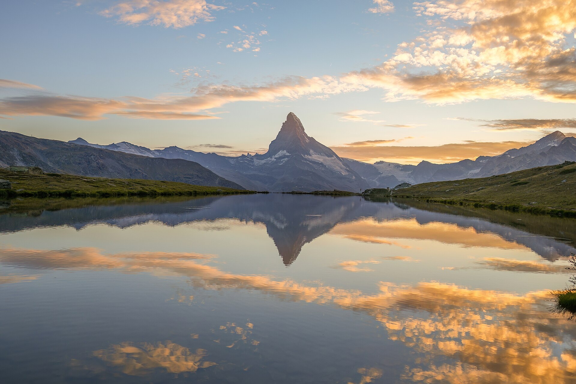
The Alta Via N°2 della Valle d'Aosta is a high-mountain route of 176.3 km crossing the Italian region of Val d'Aoste. The trail passes through varied landscapes including summits, cliffs, lakes, forests, ridges, valleys, glaciers and vineyards. The highest point reaches an altitude of 3,259 metres, offering full immersion in the wildest environments of the Valdostan Alps. This iconic route connects several lateral valleys of the Val d'Aoste in a high-altitude alpine setting.
Stages
| Departure | Arrival | Accommodation on arrival | Profile | Duration | Distance | +Elev. | −Elev. |
|---|---|---|---|---|---|---|---|
1 CourmayeurTown | Rifugio CombalHut | 5h30 | 12.3 km | +1,215 m | −441 m | ||
2 Rifugio CombalHut | La ThuileVillage | 6h00 | 20.6 km | +691 m | −1,202 m | ||
3 La ThuileVillage | Rifugio Albert DeffeyesHut | 4h15 | 9.1 km | +1,049 m | −19 m | ||
4 Rifugio Albert DeffeyesHut | PlantéVillage | 7h30 | 21 km | +1,239 m | −2,101 m | ||
5 PlantéVillage | Rhêmes-Notre-DameVillage | 6h00 | 14.7 km | +1,229 m | −1,129 m | ||
6 Rhêmes-Notre-DameVillage | L'Eau-RousseHamlet | 6h15 | 15.8 km | +1,256 m | −1,311 m | ||
7 L'Eau-RousseHamlet | Rifugio Vittorio SellaHut | 7h15 | 17.1 km | +1,565 m | −653 m | ||
8 Rifugio Vittorio SellaHut | Sogno di Berdzé al PéradzàHut | 7h00 | 22.1 km | +995 m | −1,055 m | ||
9 Sogno di Berdzé al PéradzàHut | ChamporcherVillage | 3h45 | 14.7 km | +273 m | −1,400 m | ||
10 ChamporcherVillage | Dortoir CrestHut | 5h45 | 14.3 km | +1,184 m | −1,402 m | ||
11 Dortoir CrestHut | DonnasTown | — | 5h30 | 14.6 km | +958 m | −1,808 m |
Elevation profile
How to get there
Public transport
Fully accessibleThe Alta Via n°2 della Valle d'Aosta is accessible by public transport at both ends. The starting point at Courmayeur is served by regional buses from Aoste, which is itself connected to the Italian rail network. The finishing point at Donnas has a train station on the Aoste–Turin line, making it easy to reach Turin or Aoste.
More informationBy car
Similar treks
Explore