Alta Via 1 Della Valle d'Aosta
Photo © Ibex73
10-15 days
194.4 km
14328 m
2884 m
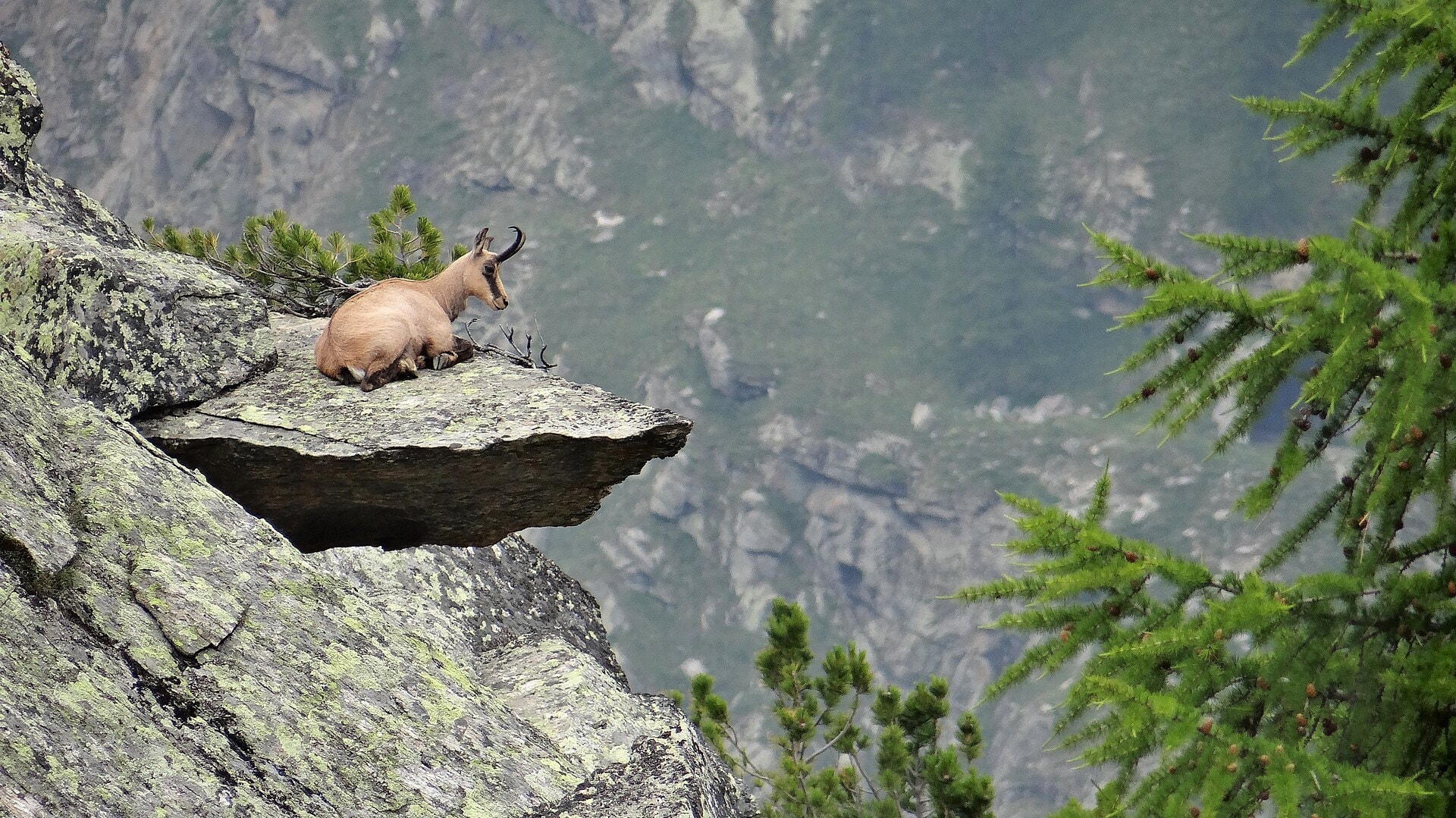
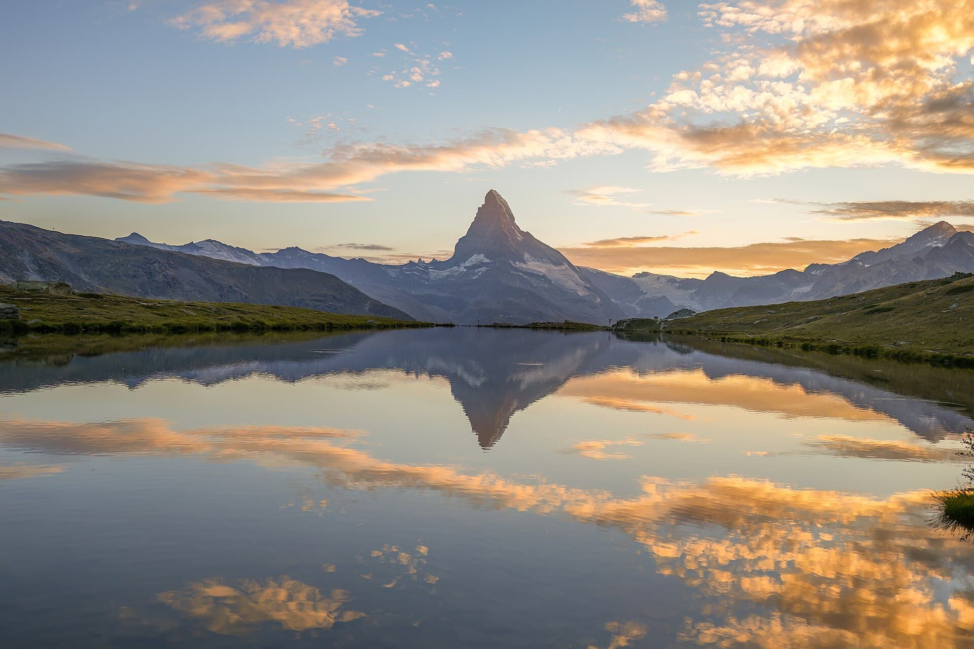
The Alta Via N°1 della Valle d'Aosta is a high-mountain route of 194.4 km crossing the Vallée d'Aoste region in Italy. The trail unfolds its landscapes across summits, ridges and cliffs, dotted with high-altitude lakes, forests and deep valleys. Vineyards and a few caves also punctuate this path, reflecting the diversity of the environments traversed. The route reaches its highest point at 2,884 metres, offering panoramas characteristic of the Valdostan Alps. This trek constitutes a complete traverse of the valley, true to the tradition of the great Italian alpine routes.
Stages
| Departure | Arrival | Accommodation on arrival | Profile | Duration | Distance | +Elev. | −Elev. |
|---|---|---|---|---|---|---|---|
1 DonnasTown | FontainemoreVillage | 5h45 | 12.4 km | +1,392 m | −373 m | ||
2 FontainemoreVillage | Rifugio BarmaHut | 7h00 | 16.5 km | +1,481 m | −813 m | ||
3 Rifugio BarmaHut | LekaHamlet | 5h00 | 13.9 km | +910 m | −1,364 m | ||
4 LekaHamlet | Camping MargheritaCamping | 5h30 | 15.8 km | +932 m | −1,095 m | ||
5 Camping MargheritaCamping | Bivacco Ulrich LateltinHut | 5h15 | 10.1 km | +1,402 m | −56 m | ||
6 Bivacco Ulrich LateltinHut | Rifugio Grand TournalinHut | 6h00 | 15.8 km | +1,095 m | −1,317 m | ||
7 Rifugio Grand TournalinHut | Rifugio Jean BarmasseHut | 5h00 | 13.5 km | +911 m | −1,269 m | ||
8 Rifugio Jean BarmasseHut | Bivacco Luca ReboulazHut | 4h30 | 11.3 km | +866 m | −463 m | ||
9 Bivacco Luca ReboulazHut | Camping Lac LexertCamping | 5h30 | 18 km | +636 m | −1,845 m | ||
10 Camping Lac LexertCamping | Rifugio Letey-ChampillonHut | 9h00 | 18.8 km | +2,199 m | −1,133 m | ||
11 Rifugio Letey-ChampillonHut | Camping PinetaCamping | 3h45 | 11.6 km | +566 m | −1,175 m | ||
12 Camping PinetaCamping | Rifugio Pier Giorgio FrassatiHut | 5h00 | 13.1 km | +904 m | −260 m | ||
13 Rifugio Pier Giorgio FrassatiHut | CourmayeurTown | — | 7h30 | 23.7 km | +1,051 m | −2,313 m |
Elevation profile
How to get there
Public transport
Fully accessibleThe Alta Via n°1 della Valle d'Aosta is accessible by public transport. The starting point at Donnas has a railway station on the Aosta–Turin line, while the finishing point at Courmayeur is connected to Aosta by regional buses, with onward connections to the Italian rail network.
By car
Similar treks
Explore