Weserbergland Weg
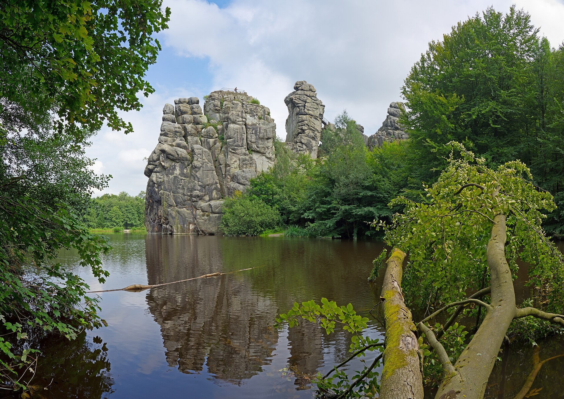
Photo © Jörg Braukmann
8-11 days
225.3 km
4516 m
508 m
The Weserbergland Weg is a 225.3 km hiking route crossing the regions of Lower Saxony and North Rhine-Westphalia, in Germany. The trail winds through varied landscapes of forests, valleys, ridges and summits, with passages near lakes, cliffs and caves. The route offers a gradual immersion into the characteristic relief of the Weserbergland massif, whose highest point reaches 508 metres above sea level. With 4,516 metres of cumulative elevation gain spread across the entire route, this trek provides an authentic and diverse discovery of this natural region in north-central Germany.
Stages
| Departure | Arrival | Accommodation on arrival | Profile | Duration | Distance | +Elev. | −Elev. |
|---|---|---|---|---|---|---|---|
1 Hann. MündenTown | VeckerhagenVillage | 3h45 | 13.9 km | +344 m | −288 m | ||
2 VeckerhagenVillage | Ferienhaus am ReinhardswaldLodge | 6h15 | 23.4 km | +440 m | −417 m | ||
3 Ferienhaus am ReinhardswaldLodge | SchönhagenVillage | 6h15 | 22 km | +565 m | −551 m | ||
4 SchönhagenVillage | HellentalVillage | 6h15 | 23.4 km | +433 m | −357 m | ||
5 HellentalVillage | HolenbergTown | 5h00 | 19.4 km | +287 m | −355 m | ||
6 HolenbergTown | OttensteinVillage | 7h00 | 25.2 km | +658 m | −713 m | ||
7 OttensteinVillage | TündernVillage | 5h30 | 21.2 km | +311 m | −410 m | ||
8 TündernVillage | UnsenVillage | 7h00 | 25.2 km | +600 m | −521 m | ||
9 UnsenVillage | SchaumburgVillage | 6h45 | 24.3 km | +609 m | −433 m | ||
10 SchaumburgVillage | Porta WestfalicaTown | — | 7h15 | 27.3 km | +548 m | −810 m |
Elevation profile
How to get there
Public transport
Fully accessibleThe Weserbergland-Weg is accessible by public transport. The official starting point at Hann. Münden is located just a few minutes from the railway station, while the finishing point at Porta Westfalica also has a station connected to the German rail network.
By car
Explore