Vogtland Panorama Weg
Photo © UlrichAAB
7-11 days
227.5 km
3854 m
913 m
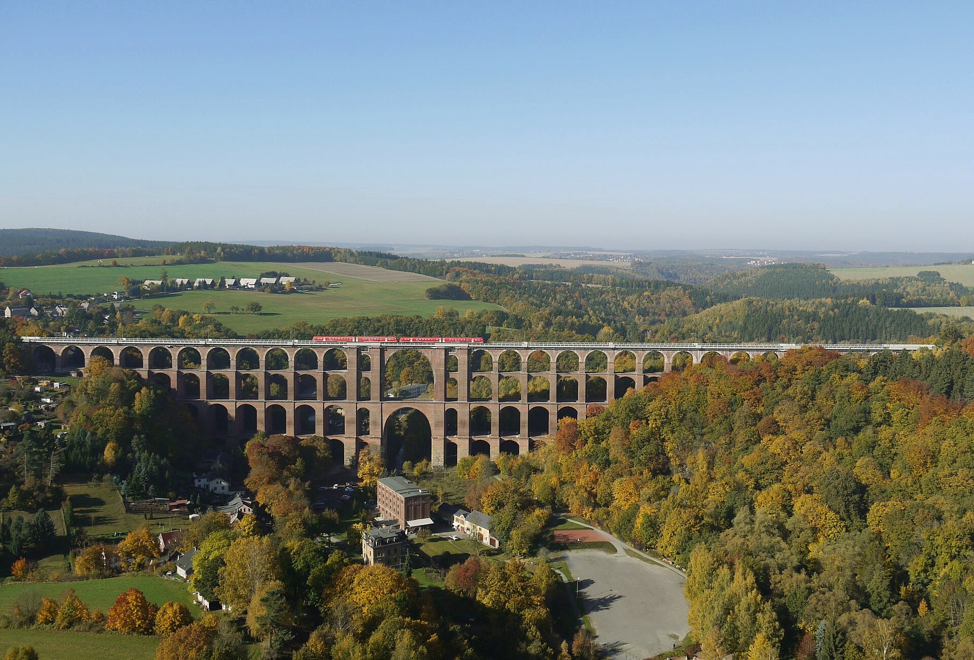
The Vogtland Panorama Weg is a 227.5 km hiking route crossing the Vogtland region in Saxony (Germany). The trail winds through a varied environment, dotted with forests, summits, and lakes characteristic of this massif in south-western Saxony. The path offers a gradual immersion into the region's natural landscapes, with elevated sections providing panoramic views from the highest points up to 913 m in altitude. This route constitutes a coherent and continuous crossing of the Vogtland, linking different natural environments over several days of walking.
Stages
| Departure | Arrival | Accommodation on arrival | Profile | Duration | Distance | +Elev. | −Elev. |
|---|---|---|---|---|---|---|---|
1 KlingenthalTown | SchönheideVillage | 6h45 | 26.6 km | +431 m | −554 m | ||
2 SchönheideVillage | BuchwaldVillage | 7h30 | 29.7 km | +361 m | −701 m | ||
3 BuchwaldVillage | HohndorfVillage | 5h45 | 21.6 km | +407 m | −410 m | ||
4 HohndorfVillage | KobitzschwaldeVillage | 5h45 | 23.4 km | +277 m | −220 m | ||
5 KobitzschwaldeVillage | OelsnitzTown | 7h00 | 26.5 km | +505 m | −521 m | ||
6 OelsnitzTown | RaunVillage | 7h15 | 27 km | +562 m | −425 m | ||
7 RaunVillage | MarkneukirchenTown | 7h30 | 28.8 km | +537 m | −494 m | ||
8 MarkneukirchenTown | LandesgemeindeHamlet | 6h15 | 23.4 km | +450 m | −414 m | ||
9 LandesgemeindeHamlet | KlingenthalTown | 6h00 | 20.5 km | +646 m | −437 m |
Elevation profile
How to get there
Public transport
Fully accessibleThe Vogtland Panorama Weg is accessible by public transport. The official starting point at Greiz has a railway station connected notably to Gera and Plauen, while the endpoint at Adorf/Vogtl. is also served by train.
By car
Similar treks

Explore