Vier Quellen Weg
Photo © Albinfo
3-5 days
80.7 km
3471 m
2730 m
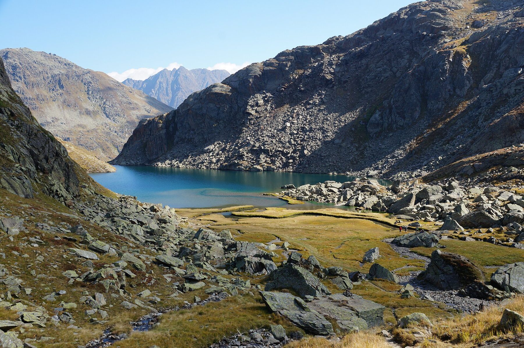
The Vier Quellen Weg, or "Path of the Four Sources", is one of the great long-distance hiking routes in the Swiss Alps, crossing the wild heart of the cantons of Uri and Graubünden. Over 80.7 km, this exceptional trek links the sources of four major European rivers — the Rhine, the Rhône, the Ticino and the Reuss — through alpine landscapes of rare grandeur. A total ascent of 3,489 m and a highest point of 2,729 m promise breathtaking panoramas over glaciers, passes and secluded valleys. Between verdant alpine meadows, high-altitude lakes and authentic villages, the Vier Quellen Weg offers a total immersion in the Swiss mountain world. An unmissable route for lovers of great alpine hiking in central Switzerland.
Stages
| Departure | Arrival | Accommodation on arrival | Profile | Duration | Distance | +Elev. | −Elev. |
|---|---|---|---|---|---|---|---|
1 ObergomsTown | UlrichenVillage | 4h30 | 16.9 km | +284 m | −1,203 m | ||
2 UlrichenVillage | Capanna PianseccoHut | 7h00 | 18.2 km | +1,284 m | −531 m | ||
3 Capanna PianseccoHut | Scíma du Bòsc'Hamlet | 6h00 | 18.3 km | +848 m | −828 m | ||
4 Scíma du Bòsc'Hamlet | km 81 | — | 9h00 | 27.3 km | +1,337 m | −1,421 m |
Elevation profile
How to get there
Public transport
Fully accessibleThe starting point of the Vier Quellen Weg is located in the Andermatt area, served by the Swiss rail network (CFF/SBB). Andermatt station is accessible via the CFF network from all major Swiss cities. For the return journey, depending on the chosen endpoint, rail connections are also available. Exact timetables and connections should be checked directly with the CFF, as they vary by season. It is strongly recommended to consult the official journey planner before your departure.
More informationBy car
Explore