Viasuworow
Photo © Wolfgang Moroder
7-10 days
171.5 km
6160 m
2401 m
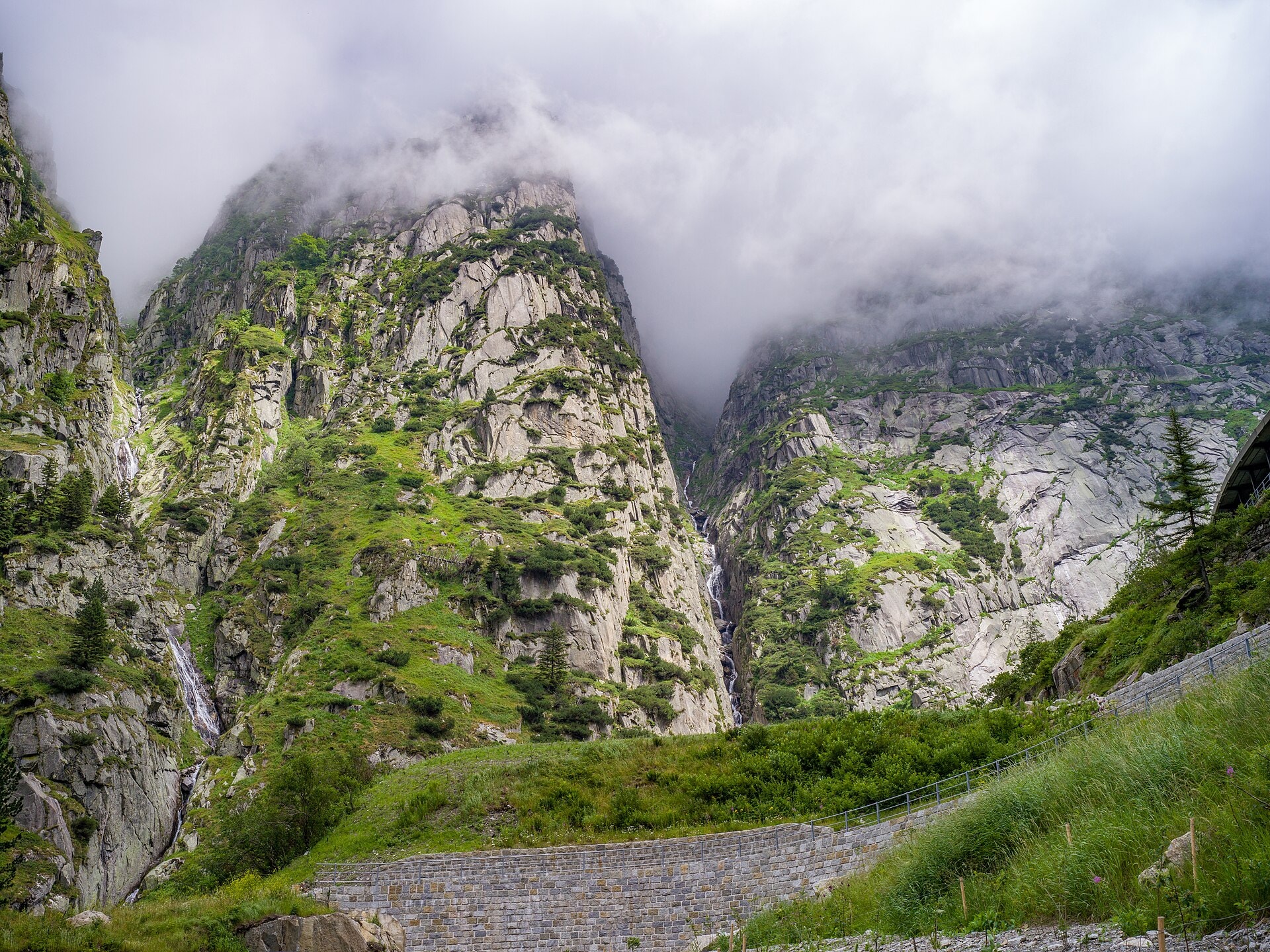
The Viasuworow is a Swiss trek of 171.5 km crossing several cantons: Ticino, Uri, Glarus and Graubünden. The route unfolds its landscapes through summits, valleys, ridges, cliffs, forests, lakes, vineyards and caves, offering a remarkable diversity of natural and cultural environments. The highest point reaches 2,401 metres above sea level, while the trail alternates descents and ascents for a significant cumulative elevation gain. This large-scale route lies at the heart of the Alps and Pre-Alps of central and southern Switzerland.
Stages
| Departure | Arrival | Accommodation on arrival | Profile | Duration | Distance | +Elev. | −Elev. |
|---|---|---|---|---|---|---|---|
1 AiroloTown | HospentalVillage | 5h45 | 15.9 km | +949 m | −626 m | ||
2 HospentalVillage | GurtnellenVillage | 4h30 | 19.2 km | +116 m | −885 m | ||
3 GurtnellenVillage | Altdorf URTown | 5h30 | 22.4 km | +248 m | −492 m | ||
4 Altdorf URTown | Restaurant Skihaus EldelweissHotel | 5h15 | 10.4 km | +1,269 m | −14 m | ||
5 Restaurant Skihaus EldelweissHotel | Berghaus PragelblickHut | 7h00 | 21.5 km | +1,000 m | −1,424 m | ||
6 Berghaus PragelblickHut | GlarusTown | 6h30 | 25 km | +456 m | −1,266 m | ||
7 GlarusTown | SteinibachHamlet | 6h45 | 24.4 km | +648 m | −105 m | ||
8 SteinibachHamlet | PigniuVillage | 7h45 | 20.5 km | +1,399 m | −1,119 m | ||
9 PigniuVillage | IlanzTown | 3h30 | 12.3 km | +293 m | −901 m |
Elevation profile
How to get there
Public transport
Fully accessibleThe ViaSuworow is accessible by public transport. The starting point in Airolo is served by train on the Gotthard line, while the finishing point in Brunnen has a railway station connected to Lucerne, Zurich and the rest of the Swiss network.
By car
Explore