Via Valtellina
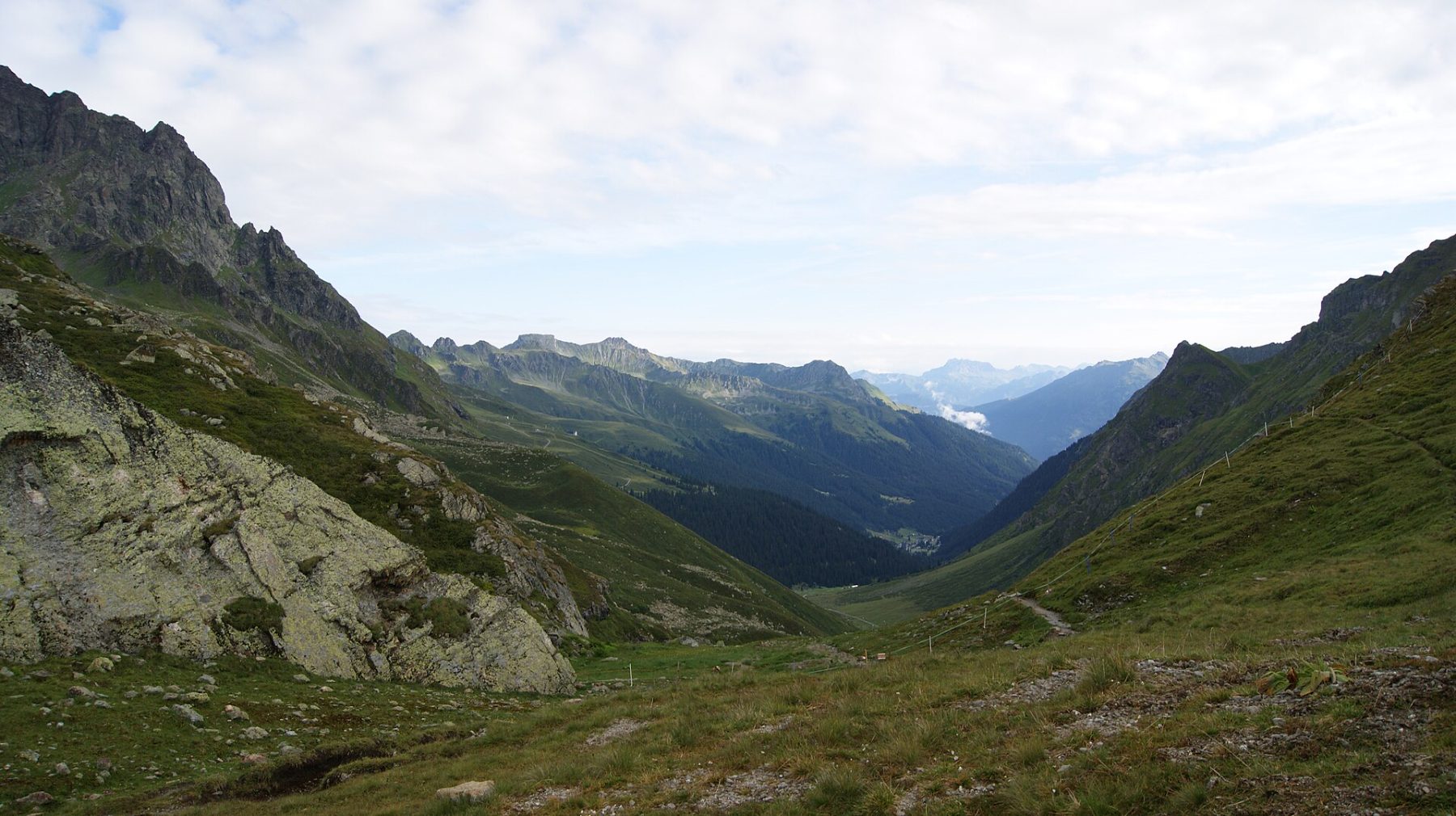
Photo © Schlappiner Joch
5-8 days
134.8 km
4136 m
2608 m
The Via Valtellina is an alpine trek of 135 km linking Austria to Italy through Switzerland, at the heart of the Alps. A former trade route used to transport Valtellina wine, it crosses several legendary passes such as the Bernina Pass and the Scaletta Pass. The route traverses spectacular alpine landscapes, unspoilt valleys and authentic mountain villages.
Stages
| Departure | Arrival | Accommodation on arrival | Profile | Duration | Distance | +Elev. | −Elev. |
|---|---|---|---|---|---|---|---|
1 GargellenTown | Davos LaretHamlet | 7h30 | 20.6 km | +1,333 m | −1,199 m | ||
2 Davos LaretHamlet | Berggasthaus DürrbodenHut | 6h15 | 17.5 km | +1,079 m | −100 m | ||
3 Berggasthaus DürrbodenHut | S-chanfVillage | 4h45 | 19.6 km | +193 m | −1,046 m | ||
4 S-chanfVillage | PontresinaVillage | 5h30 | 20.5 km | +403 m | −109 m | ||
5 PontresinaVillage | CambrenaLodge | 4h30 | 16.8 km | +326 m | −631 m | ||
6 CambrenaLodge | AltavillaHotel | 5h15 | 13.9 km | +944 m | −825 m | ||
7 AltavillaHotel | TiranoTown | 5h15 | 22.5 km | +73 m | −1,429 m |
Elevation profile
How to get there
Public transport
Fully accessibleThe starting point can be reached by train to Schruns (Austria) via Bludenz, while the finishing point at Tirano (Italy) has a railway station connected to Milan by Trenord trains. Throughout the route, many stages are served by Swiss public transport, including postal buses and trains of the Rhätische Bahn (RhB), making it easy to shorten or organise the trek without a car.
More informationBy car
Explore