Via Sbrinz
Photo © Daniel Reust
4-7 days
111.3 km
3726 m
2481 m
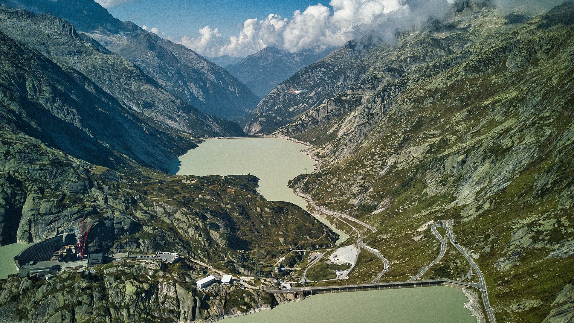
The Via Sbrinz is a historic 111.3 km route linking Italy (Piedmont) to Switzerland (cantons of Bern and Nidwalden), following an ancient trade road. The trail crosses varied landscapes including valleys, summits, ridges, forests, lakes and cliffs, with a highest point at 2,481 m above sea level. The route spans two countries and offers an immersion in authentic alpine environments documented throughout the trail. With a total positive elevation gain of 3,726 m and a negative elevation gain of 4,588 m, the crossing is a complete experience between culture and alpine nature.
Stages
| Departure | Arrival | Accommodation on arrival | Profile | Duration | Distance | +Elev. | −Elev. |
|---|---|---|---|---|---|---|---|
1 FormazzaTown | UlrichenVillage | 8h30 | 26.2 km | +1,261 m | −1,201 m | ||
2 UlrichenVillage | Grimsel HospizHotel | 4h45 | 12.4 km | +868 m | −352 m | ||
3 Grimsel HospizHotel | InnertkirchenVillage | 5h15 | 22 km | +165 m | −1,406 m | ||
4 InnertkirchenVillage | Hotel EngstlenalpHotel | 5h45 | 13.6 km | +1,246 m | −53 m | ||
5 Hotel EngstlenalpHotel | EngelbergVillage | 3h30 | 12.2 km | +392 m | −1,226 m | ||
6 EngelbergVillage | HorwTown | 5h45 | 24.9 km | +93 m | −655 m |
Elevation profile
How to get there
Public transport
Fully accessibleThe official starting point of the route is Stansstad, accessible by train from Lucerne, while the finish at Ponte (Val Formazza) is connected by bus to Domodossola, from where trains depart to Switzerland and Italy.
By car
Explore