Via degli Dei
Photo © Mongolo1984
5-7 days
125.4 km
3363 m
1202 m
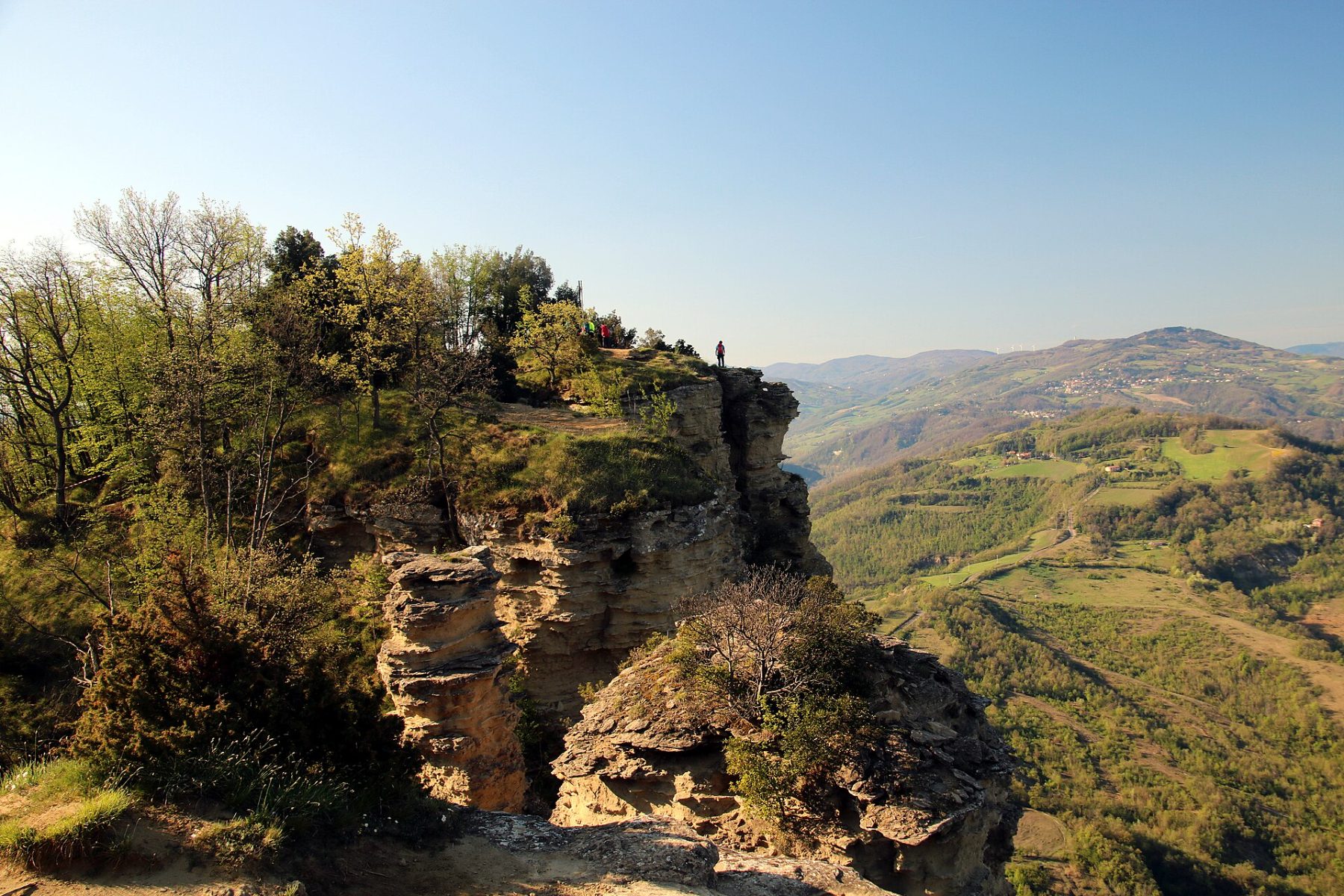
The Via degli Dei is one of Italy's most popular treks, linking Bologna to Florence across the Apennines over approximately 130 km. This historic route follows ancient Etruscan and Roman roads, including remnants of the famous Flaminia Militare. Through chestnut forests, panoramic ridges, mountain villages, and exceptional cultural heritage, the Via degli Dei offers a unique immersion into the heart of Italy.
Stages
| Departure | Arrival | Accommodation on arrival | Profile | Duration | Distance | +Elev. | −Elev. |
|---|---|---|---|---|---|---|---|
1 BolognaTown | GuzzanoTown | 6h30 | 22.6 km | +704 m | −256 m | ||
2 GuzzanoTown | TrasassoVillage | 5h45 | 18.6 km | +742 m | −402 m | ||
3 TrasassoVillage | TraversaVillage | 6h30 | 20.6 km | +828 m | −634 m | ||
4 TraversaVillage | ScarperiaVillage | 5h00 | 20.3 km | +254 m | −1,033 m | ||
5 ScarperiaVillage | BiviglianoVillage | 5h45 | 18.1 km | +740 m | −311 m | ||
6 BiviglianoVillage | FirenzeTown | 5h45 | 22.8 km | +283 m | −942 m |
Elevation profile
How to get there
Public transport
Limited accessThe Via degli Dei is particularly easy to reach without a car. The official starting point is located at Piazza Maggiore in Bologna, directly accessible by train from Italy's main cities. The route ends at Piazza della Signoria in Florence, also served by the national rail network. Throughout the itinerary, several villages along the way have bus or train connections, making it possible to join the trail or shorten certain stages if needed.
More informationBy car
Explore