Toggenburger Hohenweg
Photo © Agnes Monkelbaan
3-5 days
87.4 km
2988 m
1819 m
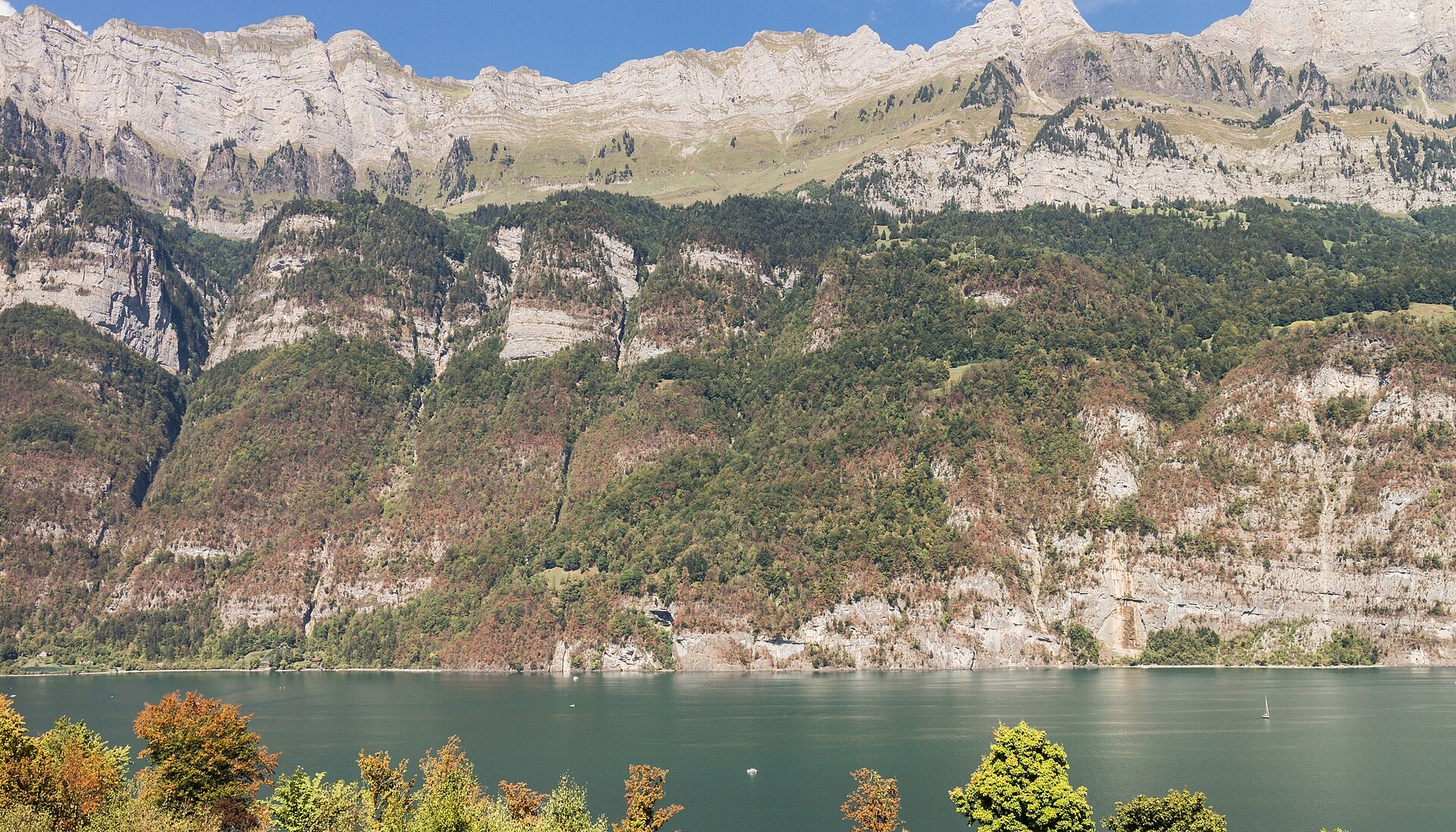
The Toggenburger Höhenweg is an 87.4 km hiking route located in the canton of St. Gallen, Switzerland. The trail winds along ridges and heights through varied landscapes including summits, cliffs, caves, lakes, forests and valleys, with a highest point of 1,819 m above sea level. The crossing offers a succession of panoramic views over the Toggenburg region, punctuated by high-altitude passages and descents into valley floors. This linear route lies within a natural environment typical of the St. Gallen Pre-Alps, with a cumulative positive elevation gain of nearly 3,000 m.
Stages
| Departure | Arrival | Accommodation on arrival | Profile | Duration | Distance | +Elev. | −Elev. |
|---|---|---|---|---|---|---|---|
1 Wildhaus-Alt St. JohannTown | Naturfreundehaus TscherwaldHut | 7h45 | 23.6 km | +1,112 m | −703 m | ||
2 Naturfreundehaus TscherwaldHut | Ricken SGVillage | 7h00 | 23.8 km | +768 m | −1,487 m | ||
3 Ricken SGVillage | Steg im TösstalVillage | 6h15 | 18 km | +1,020 m | −854 m | ||
4 Steg im TösstalVillage | Wil SGTown | 6h00 | 22 km | +545 m | −922 m |
Elevation profile
How to get there
Public transport
Fully accessibleThe Toggenburger Höhenweg is accessible by public transport. The starting point at Wildhaus is served by regional buses from the Buchs SG and Nesslau-Neu St. Johann train stations, while the endpoint at Wil SG has a railway station with connections to St. Gallen, Zurich and the rest of Switzerland.
By car
Explore