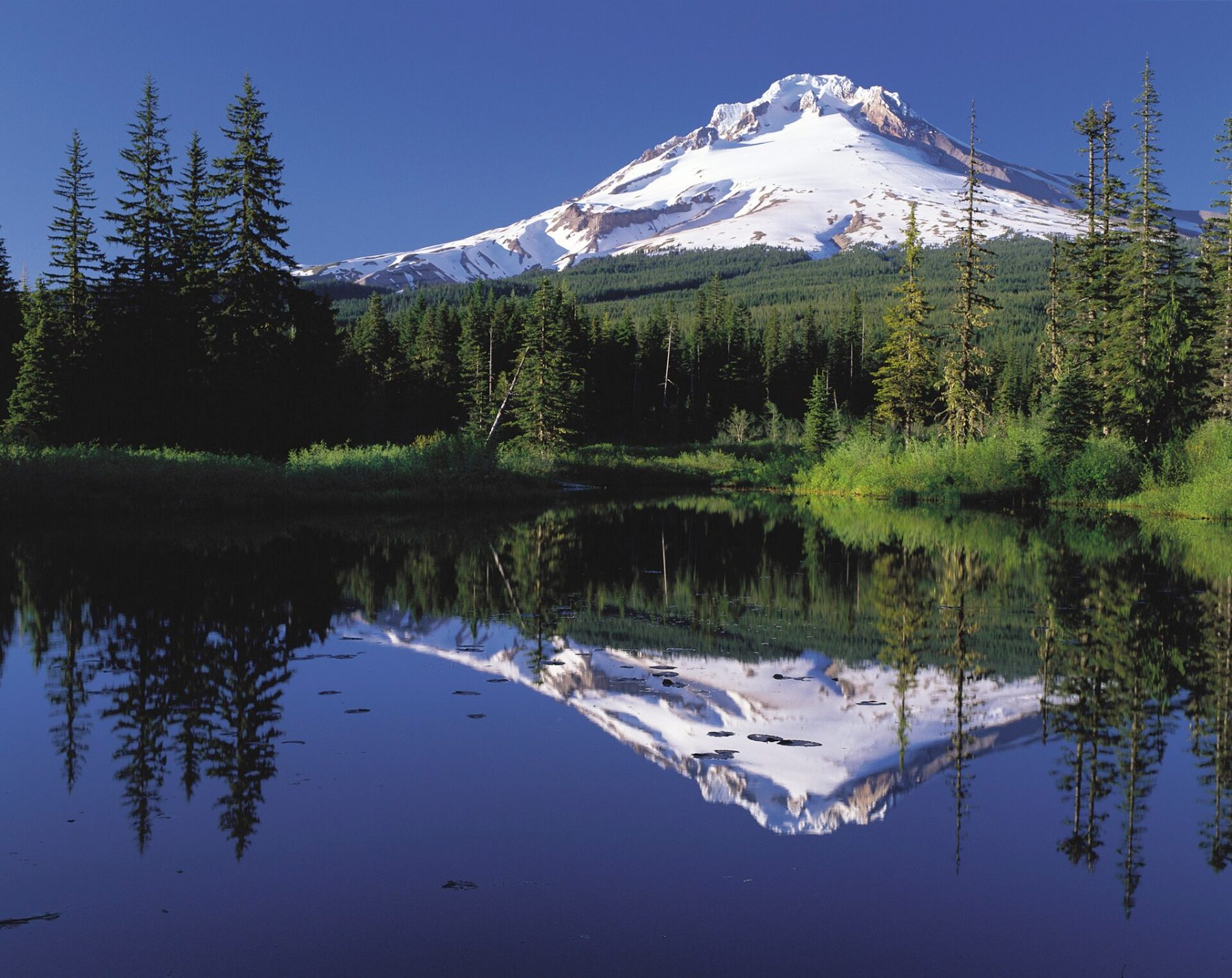
Timberline Trail
Photo © Oregon's Mt. Hood Territory.
3-4 days
64 km
2753 m
2232 m
The Timberline Trail is an iconic 65 km trek that circumnavigates Mount Hood, the highest summit in Oregon. The route passes through a wide variety of landscapes: glaciers, old-growth forests, alpine meadows, volcanic fields, and snowmelt-fed rivers. Throughout the trail, views of the volcano and its glaciers are ever-present. Considered one of the most beautiful loop treks in the United States, it offers an exceptional immersion into the wild nature of the American Northwest.
Stages
| Departure | Arrival | Accommodation on arrival | Profile | Duration | Distance | +Elev. | −Elev. |
|---|---|---|---|---|---|---|---|
1 AlpineCamping | bivouacBivouac | 4h00 | 14.5 km | +329 m | −1,124 m | ||
2 bivouacBivouac | bivouacBivouac | 5h30 | 14.7 km | +1,011 m | −288 m | ||
3 bivouacBivouac | bivouacBivouac | 5h30 | 15.3 km | +935 m | −467 m | ||
4 bivouacBivouac | AlpineCamping | 5h30 | 17.6 km | +696 m | −1,093 m |
Elevation profile
How to get there
Public transport
Fully accessibleThe main starting point of the Timberline Trail is at Timberline Lodge. From Portland, the public Mount Hood Express service regularly connects the town of Sandy to Timberline Lodge. From Portland, it is possible to reach Sandy via regional public transit and then take this shuttle to the trek's starting point. As the trail is a loop, no vehicle shuttle is required. The entire journey can therefore be completed without a car, thanks to the region's public transportation.
More informationBy car
Explore