
Snow-covered trail
FrequentSnow-covered trail
25-50% chance
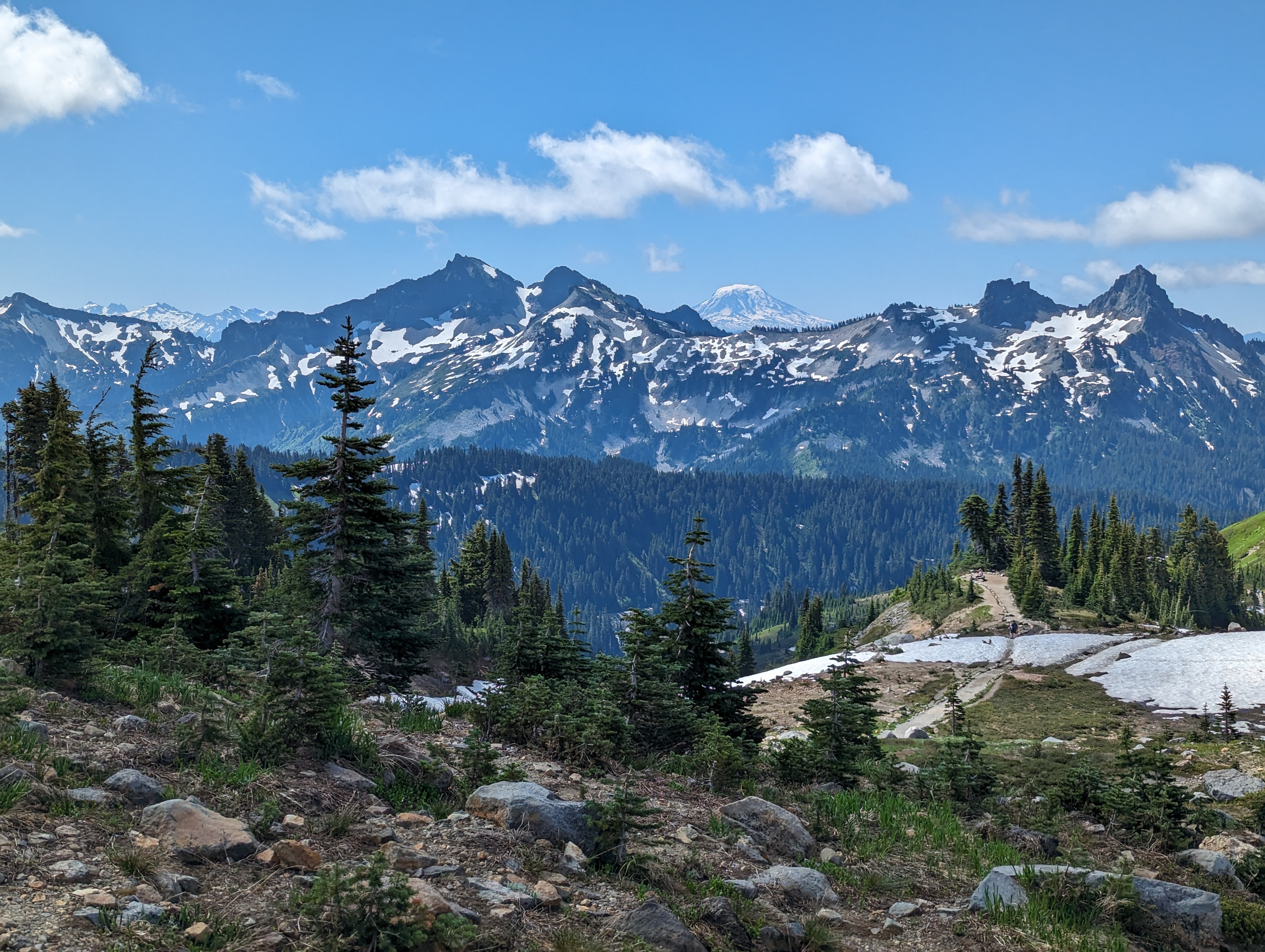
Photo © Roller Coaster Philosophy
6-9 days
137.8 km
7030 m
2069 m
Le Wonderland Trail est l’un des treks les plus emblématiques des États-Unis. Cette boucle de 137,8 km autour du volcan Mount Rainier traverse forêts anciennes, vallées glaciaires, prairies alpines, crêtes et lacs de montagne. Le parcours offre une immersion complète dans les paysages du nord-ouest américain, avec des vues régulières sur le sommet enneigé et les versants du parc national. C’est une grande boucle de montagne à préparer soigneusement, notamment pour les permis, la météo et les conditions de terrain.
Click a month to view details
This month can work, but conditions are usually more variable than during the best period. The indicators below may be localized on the most exposed sections; check recent conditions before setting out.
Each percentage is the probability of encountering the event at least once during the month, not its intensity or the share of the trail affected. Probabilities are calculated from weather and satellite data* from the last 10 years.
Snow-covered trail
25-50% chance
Comfortable temperatures
Days around ~ 23°C
Comfortable temperatures
Significant rain
5-10% chance
Storm-prone conditions
5-10% chance
Dry conditions
5-10% chance
Snow detail within the month
Early
Frequent25-50% chance that the trail is snow-covered
Mid
Rare5-10% chance that the trail is snow-covered
Late
Rare5-10% chance that the trail is snow-covered
Sources: Open-Meteo and MODIS satellite data.
By car
Explore