Senda Sursilvana
Photo © Albinfo
4-6 days
104 km
2562 m
2156 m
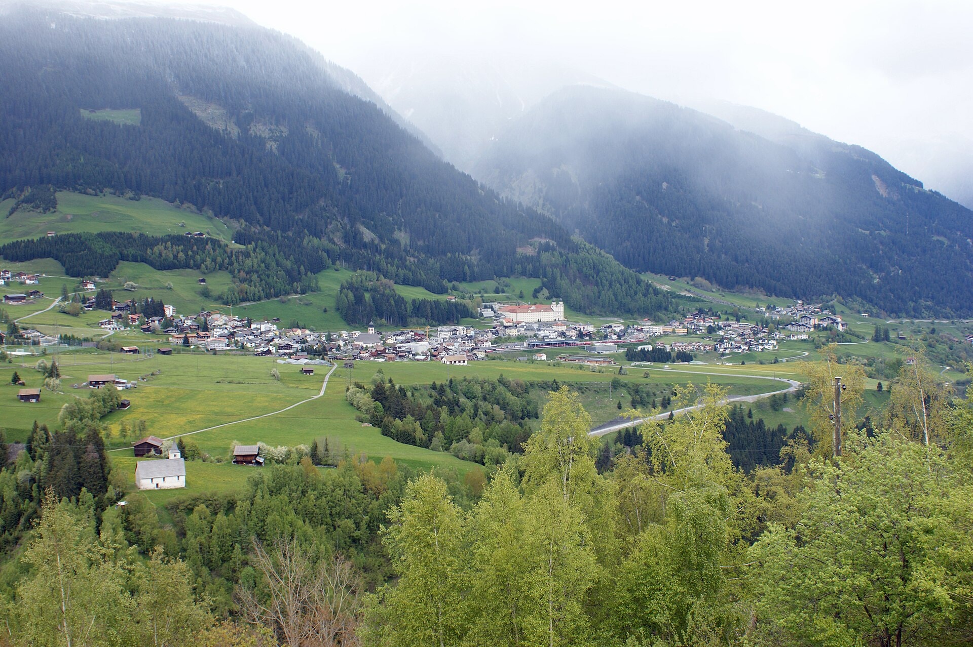
The Senda Sursilvana is a 104 km trek crossing the cantons of Uri and Graubünden, in Switzerland. The route winds through valleys, forests and ridge landscapes, with passages at the foot of cliffs and views of peaks and lakes. The highest point of the route reaches 2,156 m above sea level, offering a varied experience in the heart of the Swiss Alps. The trek takes place entirely in Switzerland, between the regions of Uri and Graubünden (Graubünden/Grischun/Grigioni).
Stages
| Departure | Arrival | Accommodation on arrival | Profile | Duration | Distance | +Elev. | −Elev. |
|---|---|---|---|---|---|---|---|
1 AndermattTown | Mumpé MedelVillage | 6h30 | 22.6 km | +619 m | −1,456 m | ||
2 Mumpé MedelVillage | DanisVillage | 6h30 | 22.2 km | +764 m | −874 m | ||
3 DanisVillage | SiatVillage | 5h45 | 18.4 km | +760 m | −534 m | ||
4 SiatVillage | VersamVillage | 5h30 | 20.4 km | +399 m | −751 m | ||
5 VersamVillage | ChurTown | 5h15 | 20.4 km | +365 m | −749 m |
Elevation profile
How to get there
Public transport
Fully accessibleThe Senda Sursilvana is accessible by public transport along its entire route. The official starting point at Andermatt is served by trains from the Matterhorn Gotthard Bahn and SBB networks, while the finishing point at Chur (Coire) is one of Switzerland's main railway hubs. Many intermediate stages, such as Disentis/Mustér, Ilanz and Flims, are also connected by regional trains or buses, making it easy to join or leave the route.
By car
Explore