Schwyzer Hohenweg
Photo © D. Reust.
3-4 days
61.8 km
3552 m
1632 m
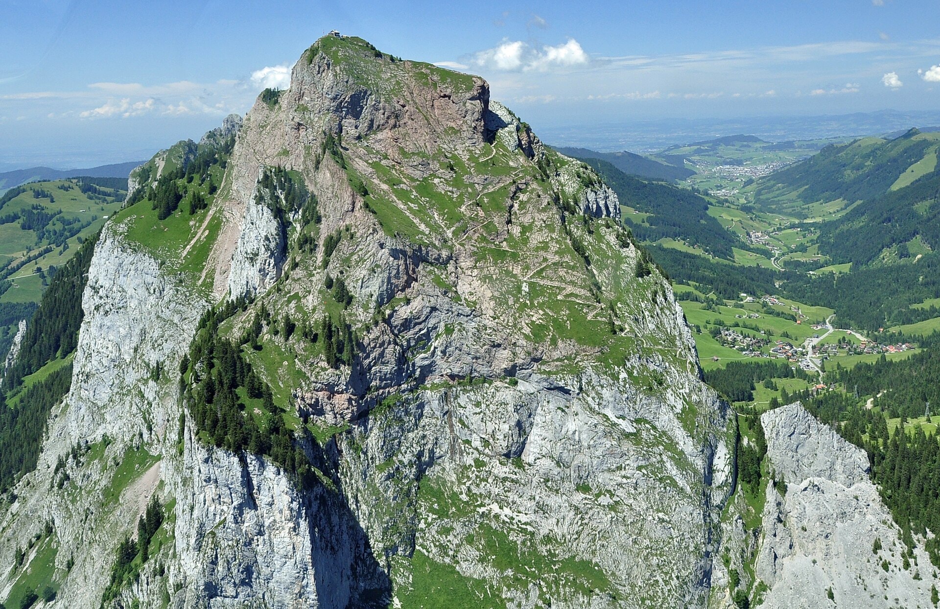
The Schwyzer Hohenweg is a 61.8 km trek that crosses the canton of Schwyz, in Switzerland. The route unfolds its varied landscapes between summits, panoramic ridges, cliffs, caves, lakes and forests, offering a complete immersion in the characteristic relief of the region. The trail stands out for its succession of viewpoints along the ridges and for the diversity of natural environments traversed. With a cumulative elevation gain of 3,552 m and a highest point of 1,632 m above sea level, this trek fully engages the hiker in the rugged terrain of the canton of Schwyz.
Stages
| Departure | Arrival | Accommodation on arrival | Profile | Duration | Distance | +Elev. | −Elev. |
|---|---|---|---|---|---|---|---|
1 Küssnacht (SZ)Town | Rigi FirstVillage | 4h45 | 10.3 km | +1,159 m | −289 m | ||
2 Rigi FirstVillage | Berggasthaus WildspitzHotel | 5h30 | 14.3 km | +1,090 m | −865 m | ||
3 Berggasthaus WildspitzHotel | Rickenbach bei SchwyzVillage | 6h15 | 18.5 km | +944 m | −1,094 m | ||
4 Rickenbach bei SchwyzVillage | EinsiedelnTown | — | 5h30 | 18.7 km | +583 m | −1,093 m |
Elevation profile
How to get there
Public transport
Fully accessibleThe Schwyzer Höhenweg is very well served by public transport, in line with the Swiss hiking network. The official starting point at Küssnacht am Rigi is accessible by train from Lucerne or Zurich, while the finish at Einsiedeln has a railway station with regular connections to Zurich, Lucerne and the rest of Switzerland. Several intermediate stages are also linked by trains, buses, funiculars or cable cars, making it easy to join or leave the route.
By car
Explore