Rothaarsteig
Photo © qwesy qwesy
5-8 days
151.8 km
2642 m
847 m
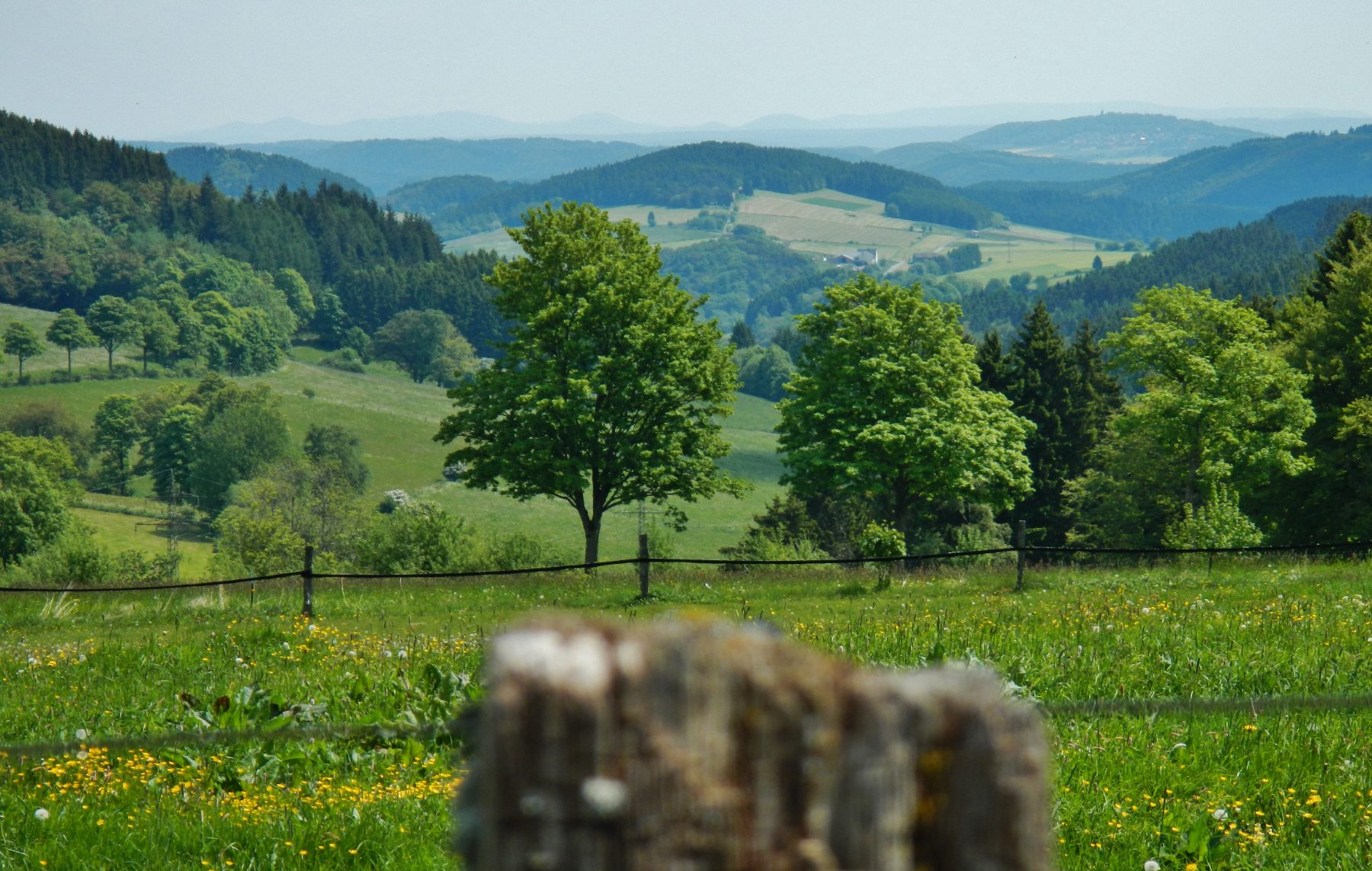
The Rothaarsteig is one of the most beautiful treks in Germany, crossing the rolling landscapes of the Sauerland and the Rothaargebirge over approximately 155 km. Nicknamed the "Path of the Senses", it alternates between deep forests, panoramic ridges, upland moors and typical villages.
Stages
| Departure | Arrival | Accommodation on arrival | Profile | Duration | Distance | +Elev. | −Elev. |
|---|---|---|---|---|---|---|---|
1 BrilonTown | BruchhausenVillage | 4h45 | 16.6 km | +448 m | −394 m | ||
2 BruchhausenVillage | KüstelbergVillage | 5h00 | 17.5 km | +475 m | −322 m | ||
3 KüstelbergVillage | NeuastenbergVillage | 4h30 | 15.9 km | +441 m | −328 m | ||
4 NeuastenbergVillage | JagdhausTown | 5h00 | 20 km | +271 m | −410 m | ||
5 JagdhausTown | VormwaldTown | 6h15 | 24.1 km | +414 m | −426 m | ||
6 VormwaldTown | Zum LahnhofLodge | 5h00 | 19 km | +401 m | −413 m | ||
7 Zum LahnhofLodge | DillenburgTown | 9h45 | 37.1 km | +718 m | −1,106 m |
Elevation profile
How to get there
Public transport
Limited accessThe Rothaarsteig is easily accessible without a car thanks to the German rail network. The official starting point is located in Brilon, accessible by train via Brilon-Stadt station, while the end point at Dillenburg also has a station connected to the national network. Several towns along the trail, such as Winterberg, Willingen and Hilchenbach, are also served by train or bus. This good transport coverage makes it possible to join or leave the trek at various stages.
More informationBy car
Explore