Rennsteig
Photo © KaiKemmann
6-8 days
168.3 km
3342 m
964 m
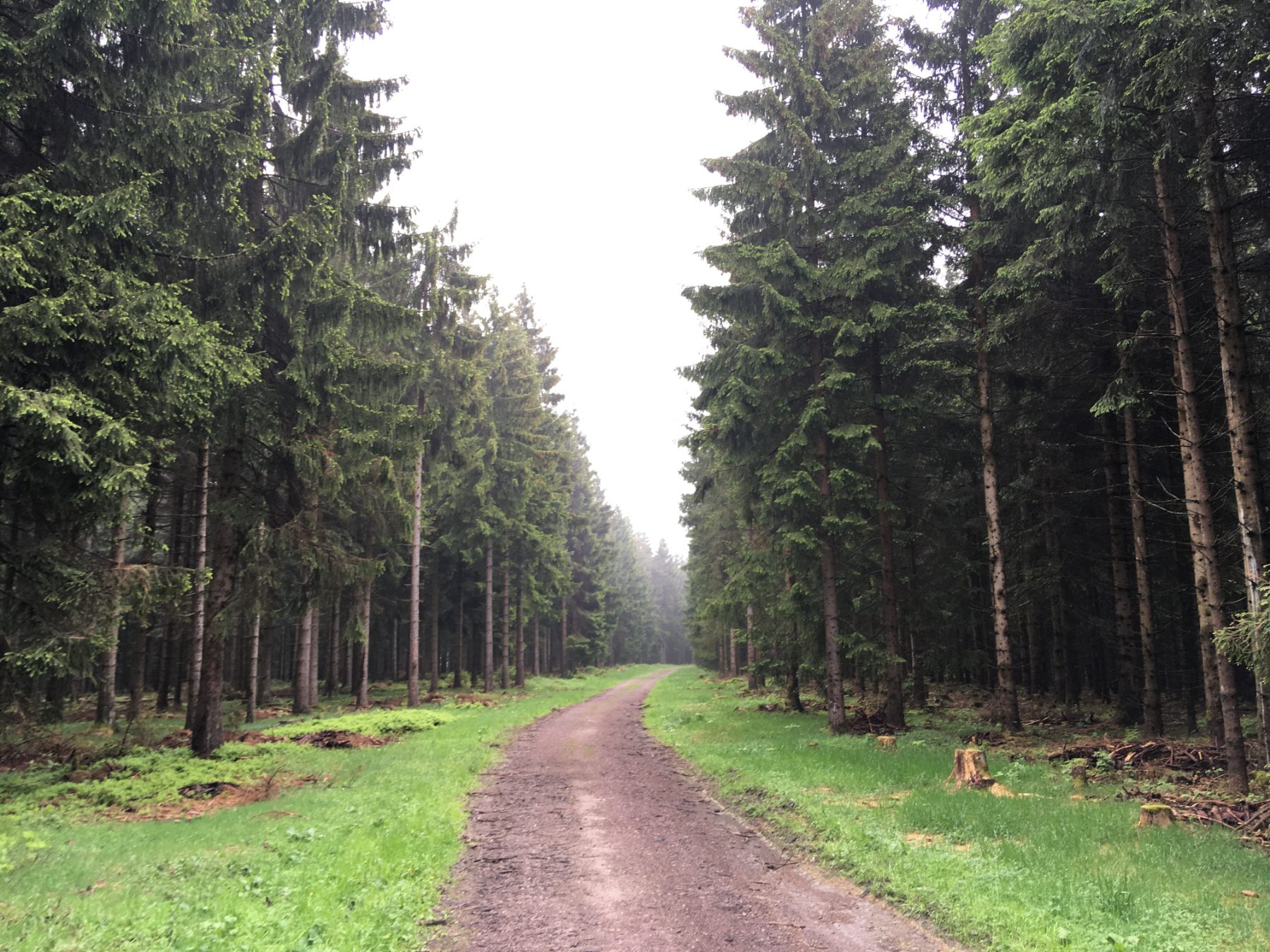
The Rennsteig is Germany's most famous long-distance hiking trail, crossing the ridges of the Thuringian Forest over nearly 170 km. This historic route connects Hörschel to Blankenstein, offering an immersion in vast forests, rolling panoramas, and a rich cultural heritage. Marked by a distinctive white "R", the trail is renowned for its ease of navigation and its many stages.
Stages
| Departure | Arrival | Accommodation on arrival | Profile | Duration | Distance | +Elev. | −Elev. |
|---|---|---|---|---|---|---|---|
1 EisenachTown | RuhlaTown | 5h30 | 18.7 km | +549 m | −181 m | ||
2 RuhlaTown | SpießberghausHotel | 6h00 | 20 km | +651 m | −484 m | ||
3 SpießberghausHotel | OberhofTown | 6h30 | 24.3 km | +536 m | −423 m | ||
4 OberhofTown | Neustadt am RennsteigTown | 6h45 | 25.6 km | +490 m | −557 m | ||
5 Neustadt am RennsteigTown | Wanderhütten an der RennsteigbaudeHut | 7h15 | 26.5 km | +585 m | −528 m | ||
6 Wanderhütten an der RennsteigbaudeHut | Steinbach am WaldVillage | 5h45 | 23.3 km | +306 m | −508 m | ||
7 Steinbach am WaldVillage | Rosenthal am RennsteigTown | 7h15 | 29 km | +397 m | −613 m |
Elevation profile
How to get there
Public transport
Limited accessThe Rennsteig is easily accessible by train. The official starting point at Hörschel is connected to the city of Eisenach, served by the German national rail network. The endpoint at Blankenstein also has a regional train station, allowing the return journey by public transport. Several localities along the trail, such as Oberhof and Neuhaus am Rennweg, are also accessible by train or bus, making it easy to organise the trek without a car.
More informationBy car
Explore