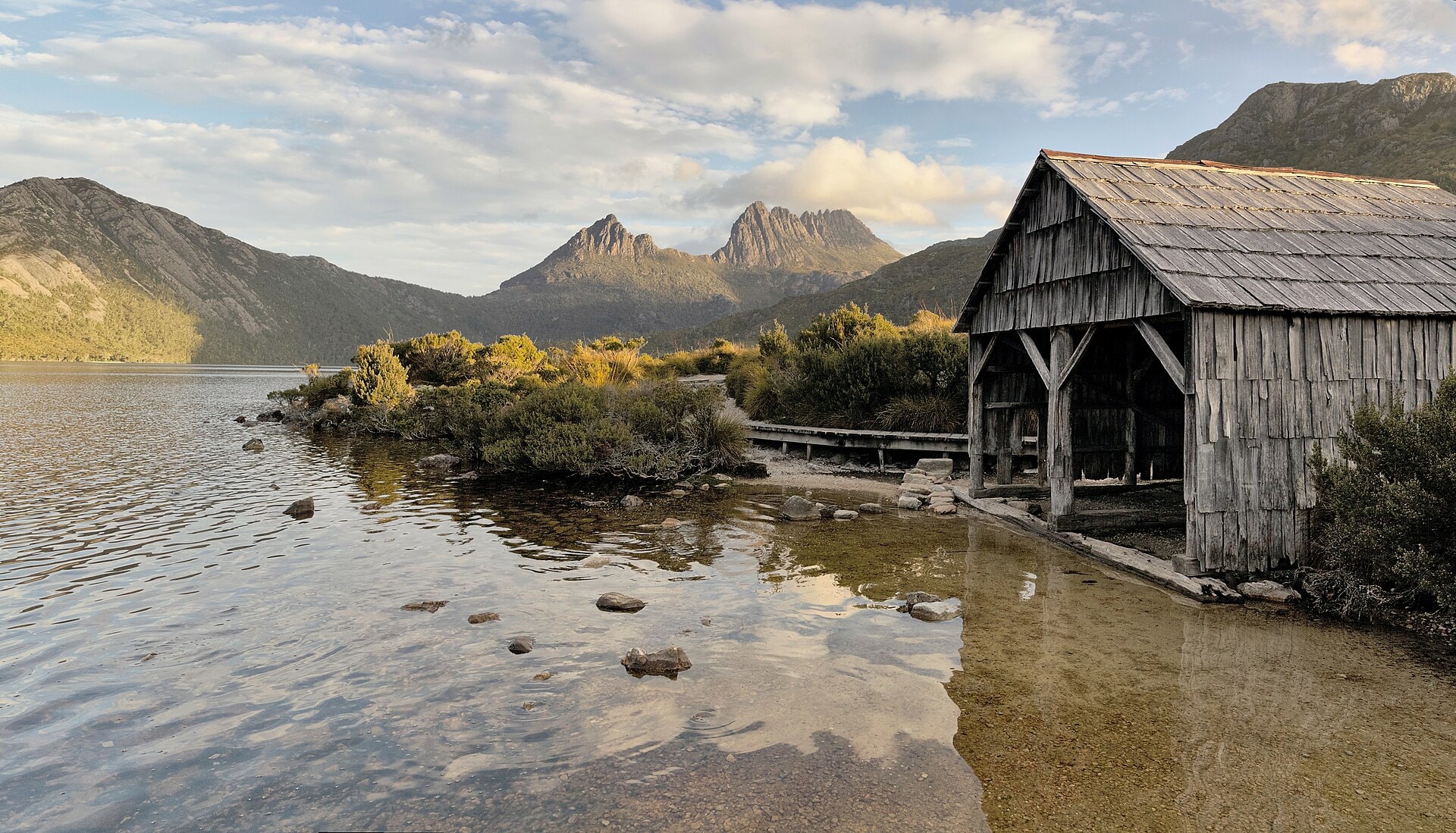
Overland Track
Photo © Thennicke
3-4 days
77.6 km
1659 m
1273 m
The Overland Track is one of Tasmania's great hiking routes, in Australia, covering 77.6 km through the iconic landscapes of the high plateaus. The trail crosses summits, runs along spectacular cliffs, passes beside lakes and ventures into forests characteristic of the region. The route unfolds entirely within a preserved natural environment, offering continuous immersion in Tasmania's wild landscapes. The track reaches a maximum altitude of 1,273 metres, with significant variations in relief throughout the journey.
Stages
| Departure | Arrival | Accommodation on arrival | Profile | Duration | Distance | +Elev. | −Elev. |
|---|---|---|---|---|---|---|---|
1 Waldheim CabinsLodge | bivouacBivouac | 5h30 | 18.3 km | +649 m | −600 m | ||
2 bivouacBivouac | Kia Ora Hut (Cradle Mountain Huts)Hut | 6h30 | 22.8 km | +703 m | −819 m | ||
3 Kia Ora Hut (Cradle Mountain Huts)Hut | Narcissus HutHut | 5h15 | 19.9 km | +389 m | −507 m | ||
4 Narcissus HutHut | Lake St ClairHamlet | 4h30 | 16.5 km | +391 m | −384 m |
Elevation profile
How to get there
Public transport
Fully accessibleThe Overland Track is accessible by public transport to Cradle Mountain and Lake St Clair, though the journey requires several connections. Departure is generally made via Launceston or Hobart, then a shuttle connects to the Cradle Mountain Visitor Centre, before taking the park shuttle to Ronny Creek, the starting point of the trek. On arrival, most hikers take the ferry between Narcissus Hut and the Lake St Clair Visitor Centre, after which a shuttle allows them to return to Hobart or Launceston.
By car
Explore