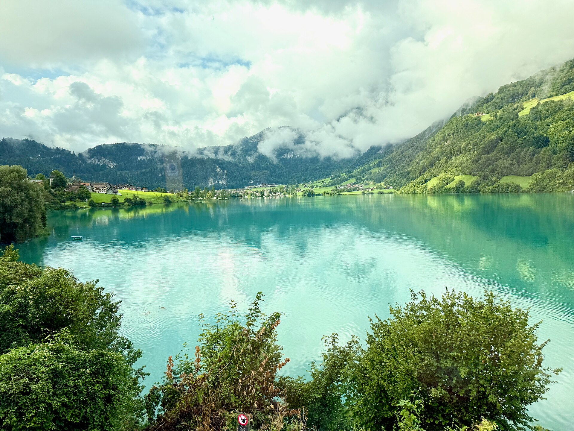
Obwaldner Hohenweg
Photo © Oleg Yunakov
4-6 days
98.3 km
4672 m
2224 m
The Obwaldner Höhenweg is a 98.3 km trek crossing the cantons of Obwald and Nidwald in central Switzerland. The route winds through varied landscapes combining summits, ridges, cliffs, caves, lakes and forests, with a highest point of 2,224 m above sea level. The trail links high-altitude sections offering views over the characteristic relief of the region. With nearly 4,700 m of elevation gain, this trek covers demanding and diverse terrain throughout its 98 kilometres.
Stages
| Departure | Arrival | Accommodation on arrival | Profile | Duration | Distance | +Elev. | −Elev. |
|---|---|---|---|---|---|---|---|
1 AlpnachTown | LangisHamlet | 6h30 | 22.1 km | +766 m | −1,350 m | ||
2 LangisHamlet | Bärghuis SchönbüelLodge | 6h45 | 20.1 km | +1,064 m | −517 m | ||
3 Bärghuis SchönbüelLodge | ÄlggiHamlet | 7h15 | 21.9 km | +1,056 m | −1,428 m | ||
4 ÄlggiHamlet | Berghotel DistelbodenHotel | 3h30 | 8.9 km | +632 m | −349 m | ||
5 Berghotel DistelbodenHotel | StansTown | — | 9h00 | 25.3 km | +1,472 m | −1,570 m |
Elevation profile
How to get there
Public transport
Fully accessibleThe trek starts at Alpnachstad, accessible by train via the Zentralbahn from Lucerne or Interlaken. The finishing point is at the Stanserhorn, from which a funicular followed by a train make it easy to rejoin the Swiss rail network. Several intermediate stages (Langis, Brünigpass, Melchsee-Frutt…) are also served by buses, trains or mountain lifts, facilitating access and return journeys.
By car
Explore