Nidwaldner Hohenweg
Photo © Paradise Chronicle
4-6 days
93.3 km
4885 m
2203 m
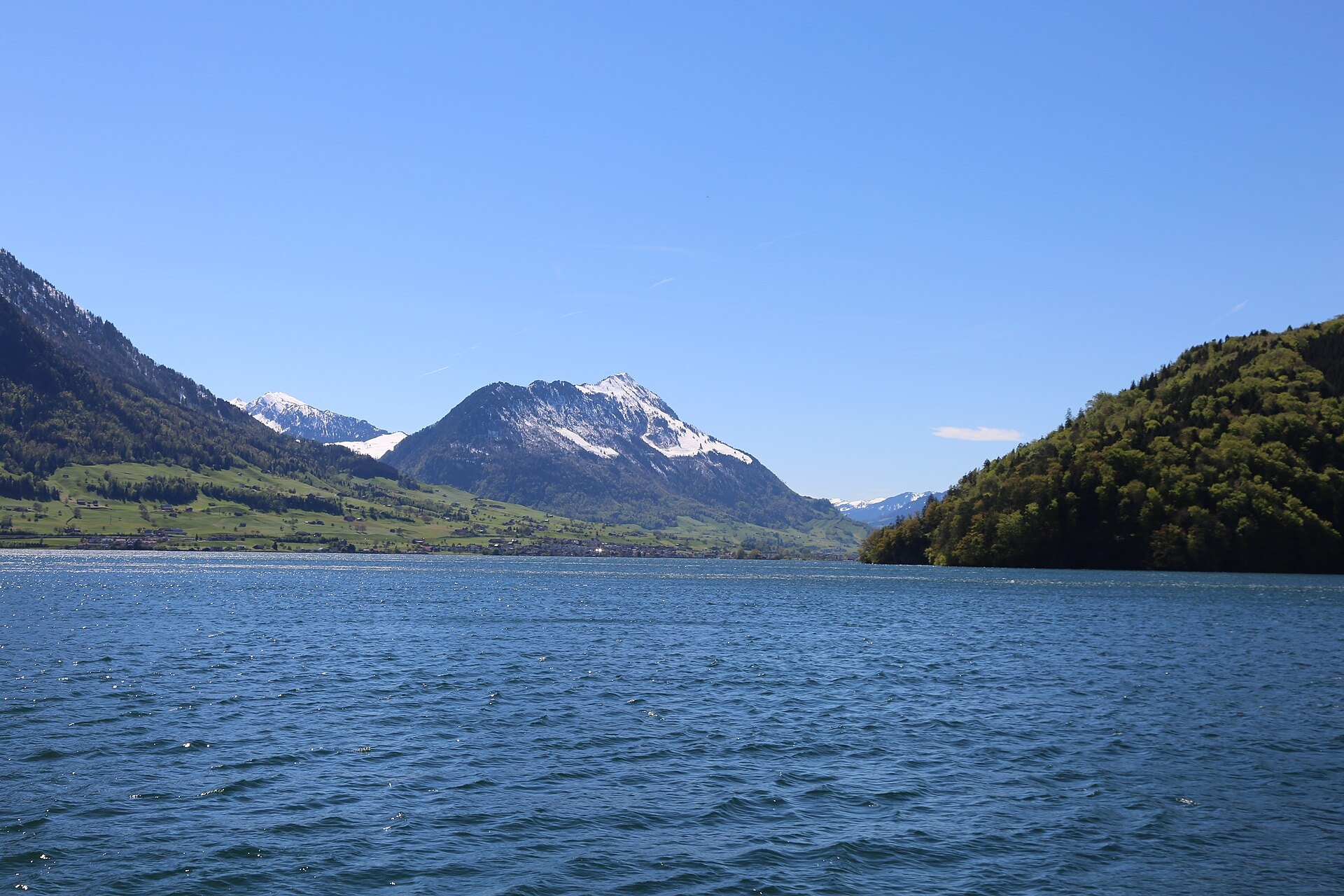
The Nidwaldner Höhenweg is a 93.3 km hiking route crossing the canton of Nidwalden, in Switzerland. The trail winds through varied landscapes characteristic of the region: summits, ridges, cliffs, caves, lakes and forests follow one another throughout the route. The highest point reaches 2,203 metres above sea level, offering sweeping views over the surrounding relief. This route provides an authentic immersion into the heights of Nidwalden, far from the most frequented tourist paths.
Stages
| Departure | Arrival | Accommodation on arrival | Profile | Duration | Distance | +Elev. | −Elev. |
|---|---|---|---|---|---|---|---|
1 StansTown | Melchsee-FruttVillage | 9h30 | 26.6 km | +1,627 m | −1,499 m | ||
2 Melchsee-FruttVillage | Chalet TrübseeLodge | 4h00 | 12.9 km | +477 m | −651 m | ||
3 Chalet TrübseeLodge | Brunnihütte SACHut | 4h45 | 12.8 km | +870 m | −800 m | ||
4 Brunnihütte SACHut | PilgerhausHotel | 7h45 | 24.3 km | +1,038 m | −1,723 m | ||
5 PilgerhausHotel | EmmettenTown | — | 6h15 | 16.6 km | +1,119 m | −732 m |
Elevation profile
How to get there
Public transport
Fully accessibleThe official starting point is at the Stanserhorn, accessible from Stans via the historic funicular and then the CabriO cable car. The finish is at Niederbauen, from where a cable car descends to Emmetten, which is connected by bus to Stans and the Swiss rail network.
By car
Explore