Nibelungensteig
Photo © Jan Strauß
5-7 days
126.2 km
3731 m
581 m
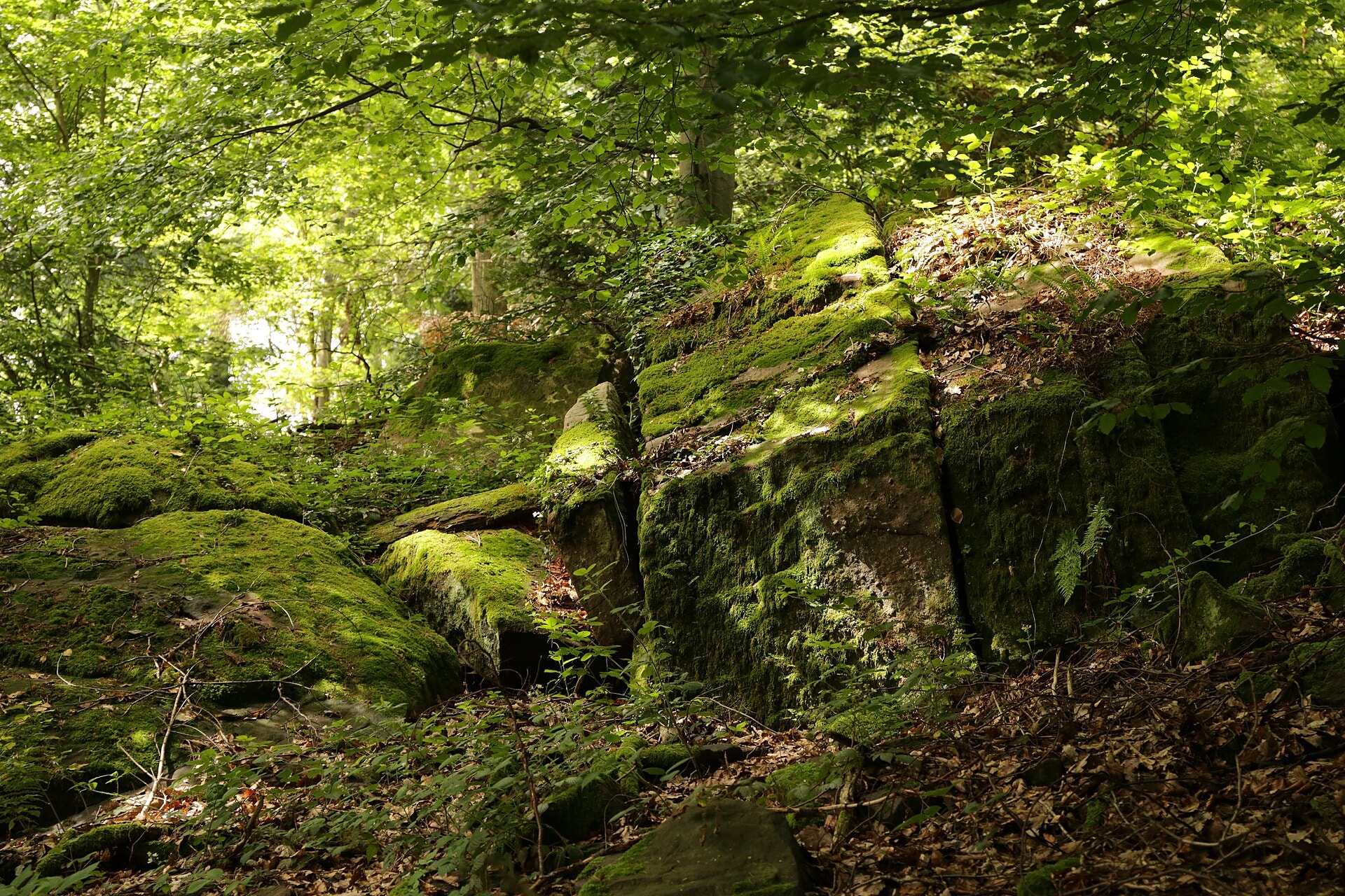
The Nibelungensteig is a 126.2 km hiking trail crossing the Odenwald massif in Germany, through the states of Baden-Württemberg, Bavaria and Hesse. The route winds through dense forests, follows ridges and cliffs, and offers views over vineyards characteristic of the region. The trail alternates between wooded sections and scenic viewpoints, with a maximum elevation of 581 metres. This waymarked trail forms a coherent end-to-end crossing, linking several communities of the Odenwald.
Stages
| Departure | Arrival | Accommodation on arrival | Profile | Duration | Distance | +Elev. | −Elev. |
|---|---|---|---|---|---|---|---|
1 FreudenbergTown | MiltenbergTown | 3h30 | 11.8 km | +368 m | −384 m | ||
2 MiltenbergTown | BeuchenVillage | 6h30 | 21.3 km | +771 m | −431 m | ||
3 BeuchenVillage | HesselbachVillage | 6h15 | 21.3 km | +710 m | −692 m | ||
4 HesselbachVillage | GüttersbachVillage | 6h45 | 24.8 km | +572 m | −730 m | ||
5 GüttersbachVillage | GlattbachVillage | 7h15 | 24.3 km | +824 m | −748 m | ||
6 GlattbachVillage | BensheimTown | — | 6h45 | 22.9 km | +766 m | −1,028 m |
Elevation profile
How to get there
Public transport
Fully accessibleThe Nibelungensteig is easily accessible by public transport thanks to the German rail network. The official starting point is located in Zwingenberg (Bergstraße), approximately 10 minutes on foot from the train station, which is served from Frankfurt, Darmstadt and Heidelberg. At the finishing point, Freudenberg am Main is connected by buses allowing onward travel to the train stations of Wertheim or Aschaffenburg. It is therefore easy to return to the main cities of the region by train.
More informationBy car
Explore