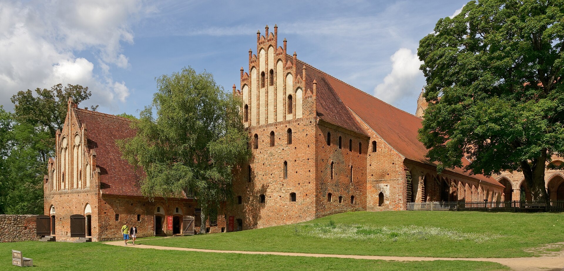
Markischer Landweg
Photo © Jakub Hałun
8-13 days
309.9 km
518 m
115 m
The Märkischer Landweg is a long-distance hiking route of 309.9 km crossing the regions of Mecklenburg-Vorpommern and Brandenburg, in northern Germany. The trail unfolds across very gentle terrain, characteristic of the plains of northern Germany, with a maximum elevation of only 115 metres. It passes through varied landscapes including forests, lakes and valleys, offering an immersion in the nature of this non-mountainous part of the country.
Stages
| Departure | Arrival | Accommodation on arrival | Profile | Duration | Distance | +Elev. | −Elev. |
|---|---|---|---|---|---|---|---|
1 FeldbergTown | LychenTown | 6h45 | 28.8 km | +107 m | −154 m | ||
2 LychenTown | PostheimHamlet | 6h00 | 25.8 km | +94 m | −100 m | ||
3 PostheimHamlet | RingenwaldeVillage | 6h15 | 27 km | +138 m | −114 m | ||
4 RingenwaldeVillage | AngermündeTown | 7h00 | 30 km | +133 m | −159 m | ||
5 AngermündeTown | StützkowVillage | 4h30 | 19.8 km | +71 m | −101 m | ||
6 StützkowVillage | VierradenVillage | — | 5h15 | 23.4 km | +70 m | −86 m | |
7 VierradenVillage | MescherinVillage | 7h00 | 30 km | +147 m | −153 m | ||
8 MescherinVillage | SeehausenVillage | 8h30 | 38.4 km | +32 m | −0 m | ||
9 SeehausenVillage | WartheVillage | 5h15 | 24 km | +13 m | −0 m | ||
10 WartheVillage | BredereicheVillage | 8h00 | 35.4 km | +66 m | −44 m | ||
11 BredereicheVillage | LychenTown | — | 6h15 | 27.3 km | +92 m | −91 m |
Elevation profile
How to get there
Public transport
Fully accessibleThe Märkischer Landweg is accessible by public transport. The official starting point at Feldberg (Mecklenburg-Vorpommern) is served by regional buses from nearby train stations, while the endpoint at Neuruppin has a railway station with connections to Berlin.
By car
Explore