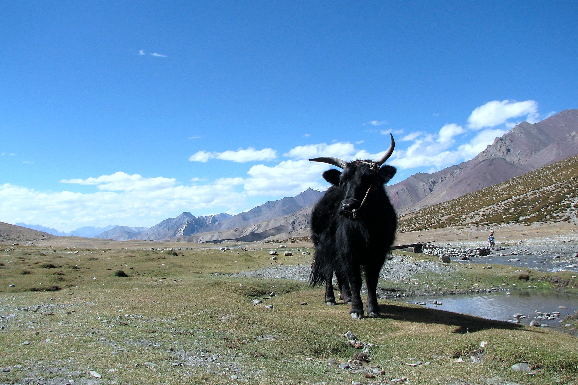
Markha Valley Trek
Photo © Balachandran Chandrasekharan
3-4 days
70.5 km
2401 m
5268 m
The Markha Valley Trek is a 70.5 km route located in the Ladakh region of India. The trail crosses cliff landscapes and runs alongside lakes, offering a mineral environment characteristic of this high-altitude territory. The highest point of the trek reaches 5,268 metres, reflecting the pronounced alpine nature of this crossing. The route unfolds within a raw and preserved natural setting, typical of Ladakh, with significant elevation changes both on the ascent (2,401 m) and the descent (1,909 m).
Stages
| Departure | Arrival | Accommodation on arrival | Profile | Duration | Distance | +Elev. | −Elev. |
|---|---|---|---|---|---|---|---|
1 ChillingHamlet | Hamoursa Tea tent & CampsiteCamping | 5h45 | 19.5 km | +678 m | −345 m | ||
2 Hamoursa Tea tent & CampsiteCamping | Kongma Pa Home Stay and CampsiteLodge | 5h15 | 17.6 km | +616 m | −268 m | ||
3 Kongma Pa Home Stay and CampsiteLodge | ZabukCamping | 5h45 | 15.3 km | +1,064 m | −100 m | ||
4 ZabukCamping | ShangHamlet | 5h00 | 18.1 km | +476 m | −1,635 m |
Elevation profile
How to get there
Public transport
Fully accessibleThe Markha Valley Trek is accessible by public transport to Leh, but not directly to the trailheads. The most common starting point at Chilling is reachable by bus from Leh, though a short taxi ride is often necessary depending on the schedule and the exact departure point. The finishing point at Shang Sumdo or Hemis is also connected to Leh by local buses, although their frequency is limited.
By car
Explore