Kumano Kodo Kohechi
Photo © Mizuki Kusakawa
4-6 days
91.5 km
5076 m
1325 m
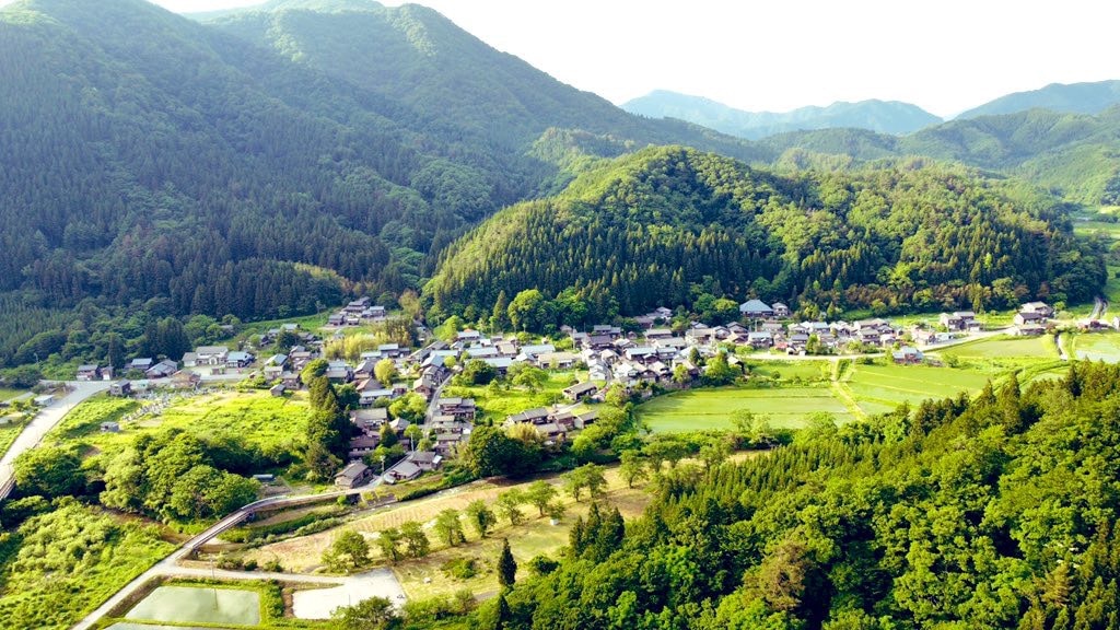
The Kumano Kodo Kohechi is a historic pilgrimage route in Japan stretching 91.5 km through dense forests, ridges, and peaks reaching up to 1,325 m in altitude. The route traverses characteristic mountain landscapes, alternating between forest cover and ridge passages offering views over the surrounding terrain. This itinerary, one of the wildest sections of the UNESCO World Heritage-listed Kumano Kodo network, follows ancient paths linking Koyasan to the Grand Shrines of Kumano. The trail follows mountain paths dotted with spiritual remnants bearing witness to centuries of pilgrimage practice in Japan.
Stages
| Departure | Arrival | Accommodation on arrival | Profile | Duration | Distance | +Elev. | −Elev. |
|---|---|---|---|---|---|---|---|
1 高野町Town | 奥高野 野迫川温泉 ホテルのせ川Hotel | 5h00 | 14.9 km | +777 m | −644 m | ||
2 奥高野 野迫川温泉 ホテルのせ川Hotel | MandokoroLodge | 6h00 | 16.6 km | +989 m | −1,606 m | ||
3 MandokoroLodge | 民宿やまとやHotel | 7h00 | 19.3 km | +1,265 m | −1,434 m | ||
4 民宿やまとやHotel | 神湯荘Hotel | 7h45 | 20.8 km | +1,414 m | −1,105 m | ||
5 神湯荘Hotel | 十津川村Town | — | 6h15 | 20 km | +844 m | −204 m |
Elevation profile
How to get there
Public transport
Fully accessibleThe Kumano Kodo Kohechi is accessible by public transport. The starting point at Kōyasan is reachable by train via the Nankai Kōya Line, then by cable car. The endpoint at Kumano Hongū Taisha is served by buses connecting Shingū, Kii-Tanabe, and the stations on the JR Kisei Line. Several villages along the route, such as Omata and Totsukawa Onsen, are also linked by regional buses, making it possible to join or leave the route at various stages.
By car
Explore