High Sierra Trail
Photo © Pavel Špindler
5-7 days
113.5 km
4586 m
4411 m
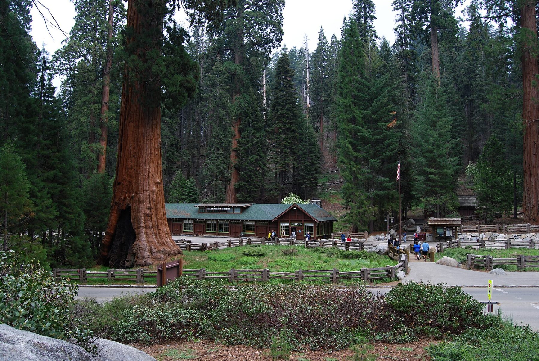
The High Sierra Trail is a legendary 116 km trek crossing the Sierra Nevada range in California, from the giant sequoias of Sequoia National Park to the summit of Mount Whitney, the highest point in the contiguous United States. The route passes through glacial valleys, alpine lakes, conifer forests, and high-altitude passes offering spectacular panoramas. Considered one of the most beautiful treks in North America, it allows visitors to discover some of the most iconic landscapes of the Sierra Nevada. The trail connects two of California's most famous natural sites at the heart of pristine wilderness.
Stages
| Departure | Arrival | Accommodation on arrival | Profile | Duration | Distance | +Elev. | −Elev. |
|---|---|---|---|---|---|---|---|
1 PinewoodHamlet | Bearpaw Meadow High Sierra CampBivouac | 5h15 | 17.5 km | +650 m | −340 m | ||
2 Bearpaw Meadow High Sierra CampBivouac | bivouacBivouac | 6h00 | 15.9 km | +1,098 m | −465 m | ||
3 bivouacBivouac | km 56Bivouac | 6h00 | 22.6 km | +389 m | −1,265 m | ||
4 km 56Bivouac | km 75Bivouac | 6h30 | 18.7 km | +1,077 m | −11 m | ||
5 km 75Bivouac | km 90Bivouac | 5h45 | 14.9 km | +1,098 m | −189 m | ||
6 km 90Bivouac | Whitney PortalHamlet | 4h45 | 18 km | +375 m | −1,919 m |
Elevation profile
How to get there
Public transport
Fully accessibleThe High Sierra Trail starts at Crescent Meadow in Sequoia National Park. From the city of Visalia, the official Sequoia Shuttle allows travelers to reach the park and Crescent Meadow during the summer season. At the end of the trek, Whitney Portal is connected to the town of Lone Pine by private shuttles or hitchhiking, and the Eastern Sierra Transit public network then allows onward travel to Reno, Mammoth Lakes, or other California cities. It is therefore possible to complete the trek without a car, although the logistics require some planning.
More informationBy car
Explore