Drakensberg Grand Traverse
Photo © Bothar
8-12 days
202.2 km
7166 m
3485 m
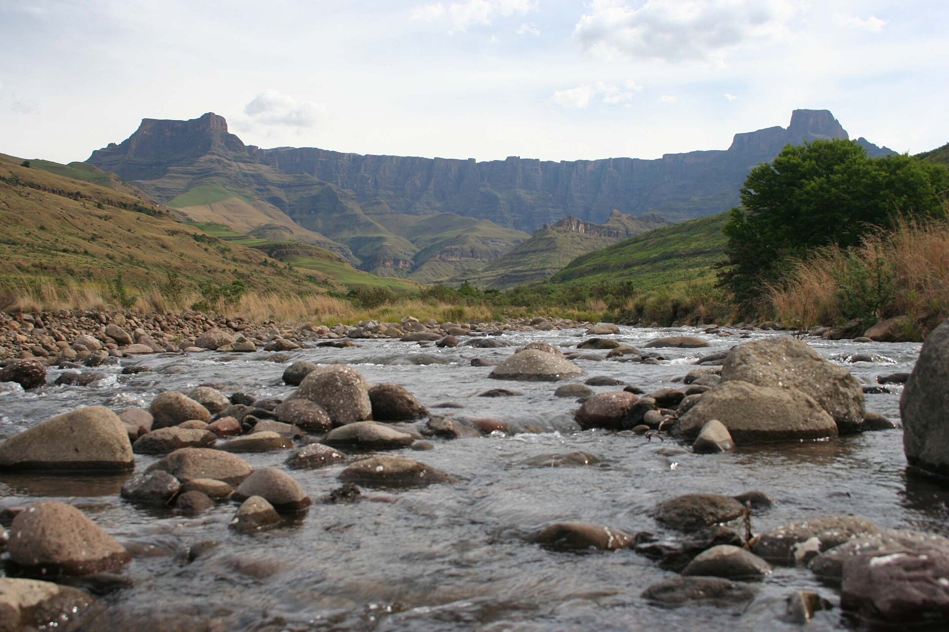
The Drakensberg Grand Traverse is a 202.2 km trek crossing the border between South Africa and Lesotho, through the regions of KwaZulu-Natal, Free State and the Mokhotlong district. The route covers summits reaching up to 3,485 m in altitude, exposed ridges, deep valleys, sheer cliffs, caves, lakes and forested areas. The trail unfolds across two distinct slopes, alternating between the landscapes of the South African high mountains and the high plateaus of Lesotho. The entire route takes place in a preserved natural environment, far from any permanent infrastructure.
Stages
| Departure | Arrival | Accommodation on arrival | Profile | Duration | Distance | +Elev. | −Elev. |
|---|---|---|---|---|---|---|---|
1 Maluti-a-Phofung Local MunicipalityTown | campingCamping | 2h00 | 4 km | +460 m | −0 m | ||
2 campingCamping | campingCamping | 4h45 | 15.6 km | +535 m | −589 m | ||
3 campingCamping | campingCamping | 7h15 | 24.4 km | +779 m | −837 m | ||
4 campingCamping | campingCamping | 2h00 | 6 km | +256 m | −197 m | ||
5 campingCamping | Bushman's Nek HutHut | 44h45 | 151.6 km | +4,973 m | −6,138 m | ||
6 Bushman's Nek HutHut | Kwa Sani Local MunicipalityTown | 0h15 | 0.6 km | +0 m | −38 m |
Elevation profile
How to get there
Public transport
Fully accessibleFrom Johannesburg, it is possible to reach Harrismith by bus, then continue by taxi or shuttle to the Sentinel Car Park, the most common starting point. At the end point, Bushman's Nek is accessible by road, but a shuttle or taxi transfer is required to reach Underberg, from where buses depart to the main South African cities.
By car
Explore