Circuito Ausangate
Photo © Ausangateperu
3-4 days
66.3 km
2539 m
5098 m
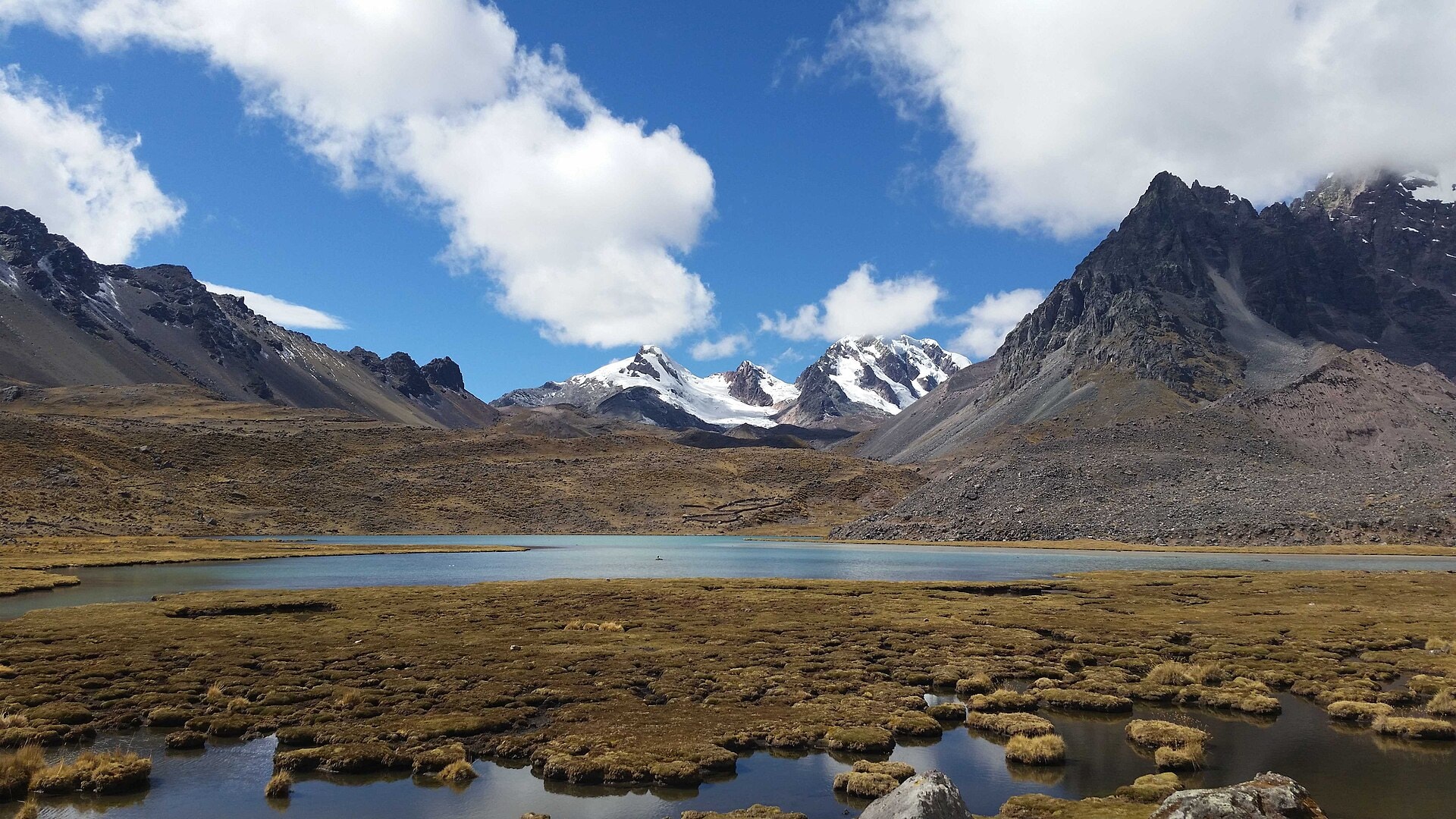
The Circuito Ausangate is a 66.3 km trek located in the Cusco region of Peru. The route winds around the Ausangate massif, crossing high-mountain landscapes marked by glaciers, ridges, and high-altitude lakes. The highest point of the route reaches 5,098 metres, offering an immersion in an exceptional and unspoiled Andean environment. This circuit is one of the most iconic high-altitude hikes in Peru.
Stages
| Departure | Arrival | Accommodation on arrival | Profile | Duration | Distance | +Elev. | −Elev. |
|---|---|---|---|---|---|---|---|
1 OcongateTown | UpisVillage | 2h30 | 6.4 km | +483 m | −3 m | ||
2 UpisVillage | LodgeLodge | 6h30 | 20 km | +961 m | −580 m | ||
3 LodgeLodge | giteLodge | 4h00 | 11.4 km | +610 m | −656 m | ||
4 giteLodge | OcongateTown | 7h45 | 28.6 km | +643 m | −1,459 m |
Elevation profile
How to get there
Public transport
Fully accessibleThe Circuito Ausangate is accessible by public transport to the villages near the starting point, but not directly to the trailhead. The most common starting point at Tinqui (Tinki) is reachable by bus from Cusco, followed by a short local connection (taxi or moto-taxi) to reach the trek's starting point. At the end of the circuit, it is possible to take a bus from Tinqui back to Cusco.
By car
Explore