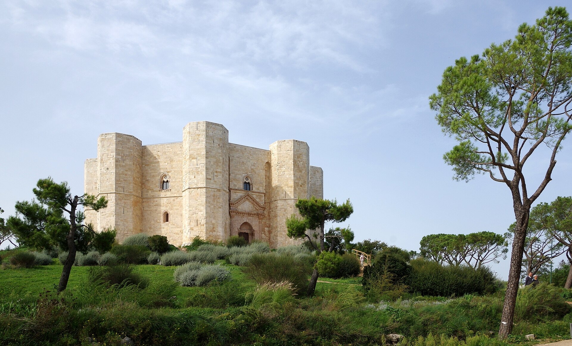
Cammino Materano
Photo © Berthold Werner
7-11 days
167.5 km
1758 m
496 m
The Cammino Materano is a pilgrimage and hiking route of 167.5 km crossing the Italian regions of Basilicata and Apulia. The route unfolds its landscapes through lakes, forests, coastline, vineyards, caves and cliffs, offering a diversity of natural and cultural environments characteristic of southern Italy. This itinerary winds between inland territories and coasts, revealing the geographical richness of the region around Matera. The trail is part of the tradition of Italian pilgrimage routes, linking territories with strong rural and historical identities.
Stages
| Departure | Arrival | Accommodation on arrival | Profile | Duration | Distance | +Elev. | −Elev. |
|---|---|---|---|---|---|---|---|
1 BariTown | Orto Sociale MagiaCamping | 3h00 | 12.3 km | +97 m | −21 m | ||
2 Orto Sociale MagiaCamping | Santeramo in ColleTown | 13h00 | 52.3 km | +626 m | −233 m | ||
3 Santeramo in ColleTown | Gravina in PugliaTown | 10h30 | 43.9 km | +392 m | −529 m | ||
4 Gravina in PugliaTown | MateraTown | — | 15h15 | 59 km | +958 m | −906 m |
Elevation profile
How to get there
Public transport
Fully accessibleThe official starting point is Bari, served by an international airport and direct trains from Rome, Naples and other major Italian cities. The arrival point of Matera is connected by the Ferrovie Appulo Lucane trains towards Bari as well as by numerous regional and national bus lines.
By car
Explore