Cammino Di Oropa Della Serra
Photo © Davide Papalini
5-7 days
150.2 km
2764 m
1153 m
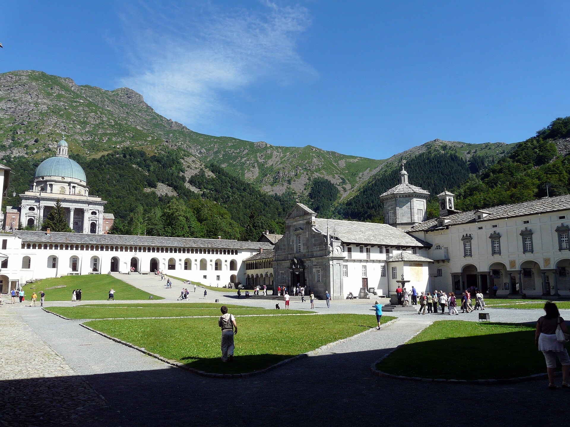
The Cammino di Oropa della Serra is a 150.2 km hiking route located in the Piedmont region, in northern Italy. The trail passes through a variety of landscapes characteristic of this area: lakes, forests, vineyards, summits, ridges and cliffs follow one another along the way. The maximum altitude reached is 1,153 metres, with a cumulative positive elevation gain of 2,764 metres. This route offers a gradual immersion into the natural and rural landscapes of Piedmont, between the plains and the hills.
Stages
| Departure | Arrival | Accommodation on arrival | Profile | Duration | Distance | +Elev. | −Elev. |
|---|---|---|---|---|---|---|---|
1 SanthiàTown | CavagliàVillage | 6h45 | 28.8 km | +178 m | −88 m | ||
2 CavagliàVillage | San SudarioHamlet | 6h30 | 24 km | +475 m | −300 m | ||
3 San SudarioHamlet | Camping della SerraCamping | 7h00 | 27 km | +424 m | −259 m | ||
4 Camping della SerraCamping | Baita Bagneri - Cai BiellaHut | 9h00 | 34.8 km | +621 m | −446 m | ||
5 Baita Bagneri - Cai BiellaHut | OropaVillage | 7h30 | 24.9 km | +932 m | −617 m | ||
6 OropaVillage | BiellaTown | — | 3h15 | 10.7 km | +411 m | −396 m |
Elevation profile
How to get there
Public transport
Fully accessibleThe official starting point is Santhià, served by direct trains from Turin and Milan. At the end of the route, the Santuario d'Oropa is connected to Biella San Paolo station by regular buses, making it easy to continue by train.
By car
Explore