
Snow-covered trail
FrequentSnow-covered trail
25-50% chance
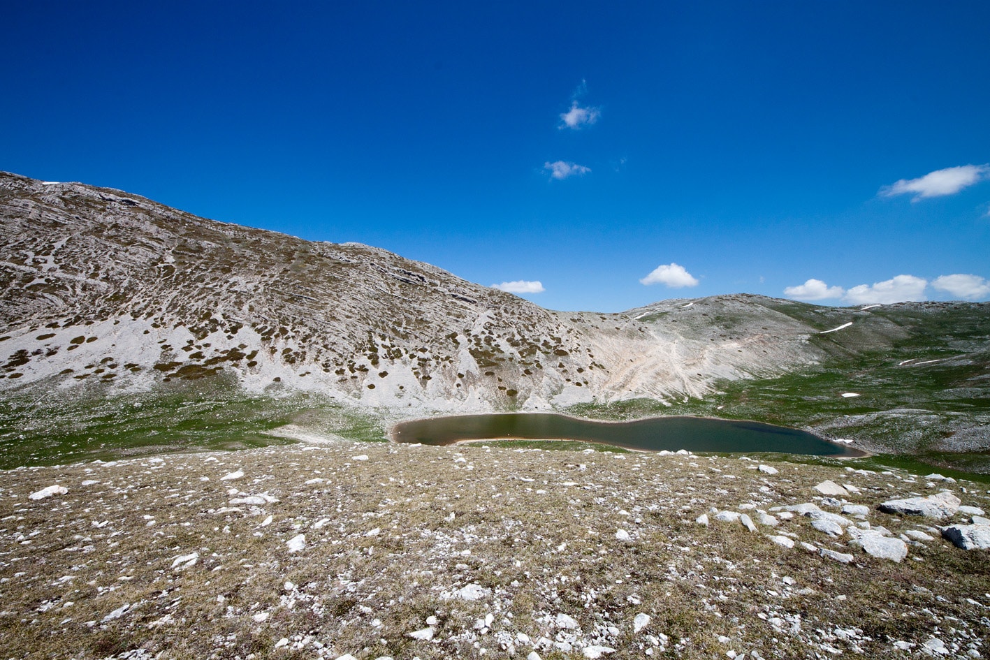
Photo © Matteo Regazzi
4-7 days
103.4 km
4629 m
1929 m
Cammino dei briganti est un itinéraire de randonnée de 103,4 km en Abruzzo, Lazio, Italy. Le parcours traverse notamment des secteurs de sommets, forêts, vallées, falaises et lacs, avec une lecture progressive du territoire depuis le départ jusqu'à l'arrivée. Cette fiche Topok rassemble les informations essentielles pour comparer le tracé, préparer la carte et organiser la logistique avant le départ.
Click a month to view details
This month can work, but conditions are usually more variable than during the best period. The indicators below may be localized on the most exposed sections; check recent conditions before setting out.
Each percentage is the probability of encountering the event at least once during the month, not its intensity or the share of the trail affected. Probabilities are calculated from weather and satellite data* from the last 10 years.
Snow-covered trail
25-50% chance
Cold nights
Minimums around ~ -1°C on high points
Cold nights
Significant rain
5-10% chance
Storm-prone conditions
5-10% chance
Dry conditions
5-10% chance
Snow detail within the month
Early
Occasional10-25% chance that the trail is snow-covered
Mid
Rare5-10% chance that the trail is snow-covered
Late
Rare5-10% chance that the trail is snow-covered
Sources: Open-Meteo and MODIS satellite data.
Public transport
Fully accessibleLe Cammino dei Briganti affiché ici démarre dans le secteur de Colli di Monte Bove / Sante Marie et se termine vers Villa San Sebastiano / Tagliacozzo. Sante Marie et Tagliacozzo sont reliées par train sur l'axe Rome - Avezzano ; prévoir un court transfert local selon le point exact de départ ou d'arrivée.
By car
Explore