Camino De Costa Rica
9-14 days
244.6 km
8064 m
2332 m
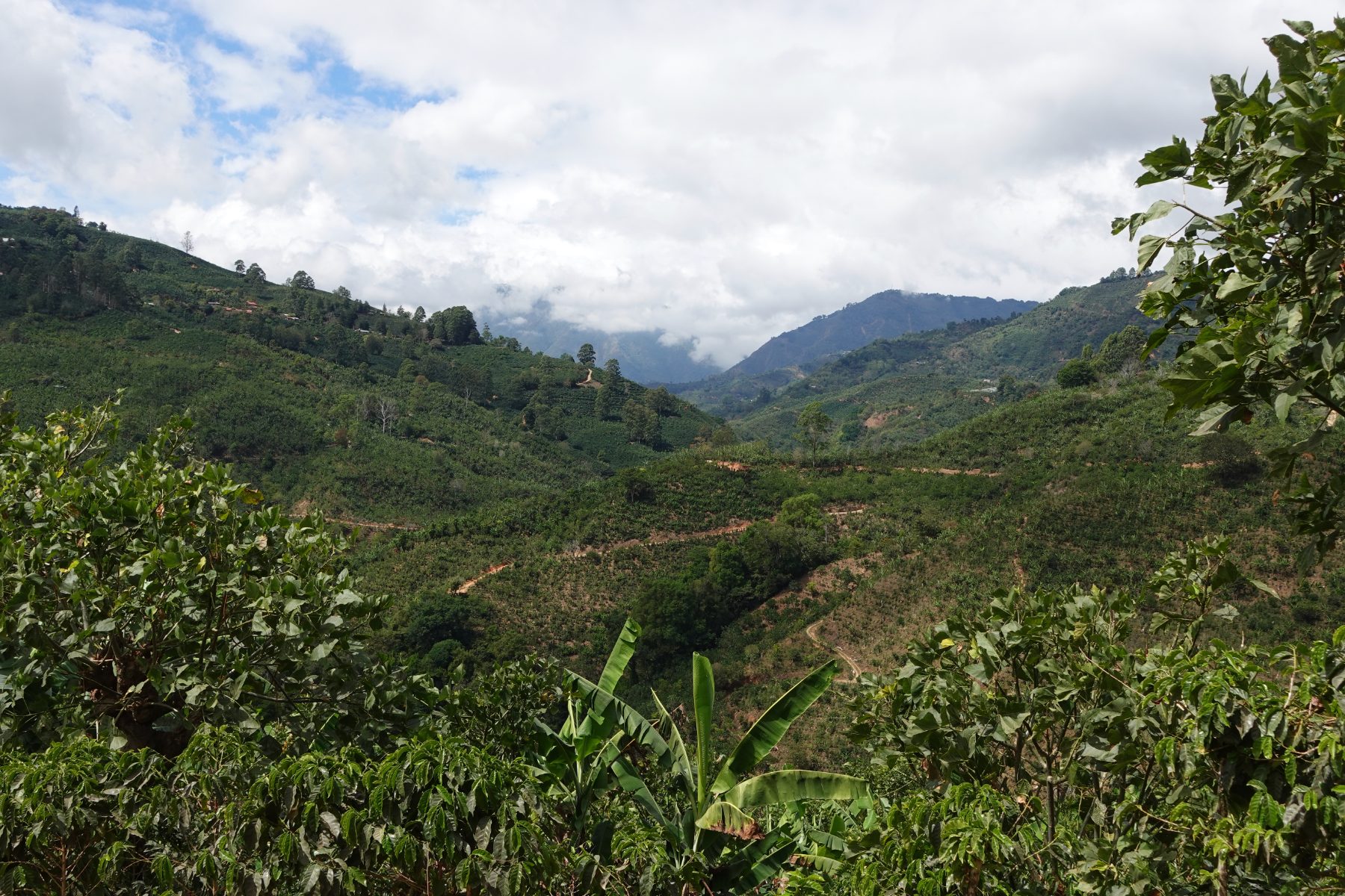
The Camino De Costa Rica is a 244.6 km crossing trek linking the Caribbean and Pacific coasts of Costa Rica. The route passes through dense forests, runs along cliffs and reaches the coastline, offering an immersion in varied and contrasting ecosystems. The trail reaches a maximum altitude of 2,332 metres, reflecting the pronounced relief of the country's interior. With 8,064 metres of cumulative elevation gain, this long-distance crossing trail offers a complete experience between two oceans, through successive landscapes of forest, steep terrain and coast.
Stages
| Departure | Arrival | Accommodation on arrival | Profile | Duration | Distance | +Elev. | −Elev. |
|---|---|---|---|---|---|---|---|
1 BatánTown | TrinidadVillage | 6h45 | 26.6 km | +330 m | −116 m | ||
2 TrinidadVillage | Tres EquisVillage | 10h15 | 31.4 km | +1,451 m | −1,010 m | ||
3 Tres EquisVillage | Cabanas Don DitoHotel | 12h45 | 44.6 km | +1,227 m | −1,187 m | ||
4 Cabanas Don DitoHotel | El CopalLodge | 2h00 | 5.7 km | +298 m | −14 m | ||
5 El CopalLodge | Tejos LodgeHotel | 2h00 | 4.8 km | +428 m | −28 m | ||
6 Tejos LodgeHotel | Kiri LodgeHotel | 1h30 | 4.3 km | +216 m | −314 m | ||
7 Kiri LodgeHotel | PerlasHamlet | 6h00 | 21.4 km | +536 m | −692 m | ||
8 PerlasHamlet | CascajalVillage | 3h45 | 9.5 km | +715 m | −154 m | ||
9 CascajalVillage | Vara del RobleHamlet | 4h30 | 12.8 km | +776 m | −368 m | ||
10 Vara del RobleHamlet | LondresHamlet | 17h30 | 65.1 km | +1,391 m | −3,315 m | ||
11 LondresHamlet | ConcepciónHamlet | 2h30 | 10.5 km | +21 m | −181 m | ||
12 ConcepciónHamlet | QueposTown | 1h45 | 8.1 km | +29 m | −47 m |
Elevation profile
How to get there
Public transport
Fully accessibleThe Camino de Costa Rica is accessible by public transport. The starting point at Parismina is reachable by bus and then by boat from Siquirres, while the finishing point at Quepos is served by regular buses to San José.
By car
Explore