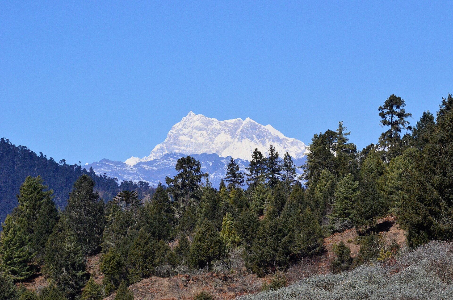
Bhutan Snowman Trek
Photo © Christopher J. Fynn
13-19 days
268.8 km
15190 m
5479 m
The Snowman Trek in Bhutan is one of the most demanding and remote trekking routes in the world, covering a total distance of 268.8 km through the districts of Paro, Thimphu, Gasa and Bumthang. The route traverses varied landscapes including forests, ridges, cliffs, lakes, summits and glaciated areas, with a maximum altitude reaching 5,479 metres. The itinerary extends into very isolated areas of northern Bhutan, offering an immersion in high Himalayan mountain environments that are rarely visited. Progress is made through successive passes and deep valleys, within a pristine natural environment characteristic of this region.
Stages
| Departure | Arrival | Accommodation on arrival | Profile | Duration | Distance | +Elev. | −Elev. |
|---|---|---|---|---|---|---|---|
1 Nyechhu_Shar-riTown | Sharna ZampaCamping | 3h45 | 13.7 km | +361 m | −143 m | ||
2 Sharna ZampaCamping | bivouacBivouac | 5h15 | 14.7 km | +858 m | −85 m | ||
3 bivouacBivouac | Jomolhari Base CampCamping | 4h30 | 14.2 km | +602 m | −76 m | ||
4 Jomolhari Base CampCamping | Camp 4 LingschiCamping | 5h00 | 14.2 km | +849 m | −908 m | ||
5 Camp 4 LingschiCamping | Camp 5 ChebisaCamping | 3h00 | 10 km | +365 m | −532 m | ||
6 Camp 5 ChebisaCamping | ShomuthangBivouac | 4h45 | 11.5 km | +943 m | −520 m | ||
7 ShomuthangBivouac | Camp 7 RobluthangCamping | 3h30 | 8.9 km | +666 m | −765 m | ||
8 Camp 7 RobluthangCamping | Camp 8 LimithangCamping | 4h45 | 12.6 km | +836 m | −850 m | ||
9 Camp 8 LimithangCamping | TakshimakhaCamping | 3h45 | 15.2 km | +168 m | −903 m | ||
10 TakshimakhaCamping | NarethangBivouac | 8h00 | 19.4 km | +1,695 m | −180 m | ||
11 NarethangBivouac | TönchoBivouac | 14h45 | 49.3 km | +1,757 m | −2,525 m | ||
12 TönchoBivouac | Danji GomaBivouac | 4h00 | 9.4 km | +840 m | −76 m | ||
13 Danji GomaBivouac | MinchugangBivouac | 7h15 | 25.7 km | +680 m | −1,321 m | ||
14 MinchugangBivouac | GorsumBivouac | 5h00 | 15.8 km | +662 m | −1,571 m | ||
15 GorsumBivouac | GorsumBivouac | 5h15 | 10.5 km | +1,361 m | −642 m | ||
16 GorsumBivouac | Dhur_ LusibeeTown | — | 6h00 | 23.6 km | +308 m | −1,703 m |
Elevation profile
How to get there
Public transport
Fully accessibleThe classic starting point at Shana Zampa (or Gunitsawa, depending on the variant) is not served by public transport. From Paro, it is necessary to take a private or organised vehicle to the trailhead. Upon arrival, generally at Sephu or Nikachu, a private road transfer is also required to reach Trongsa or Wangdue Phodrang, where the Bhutan bus network can be found.
By car
Explore