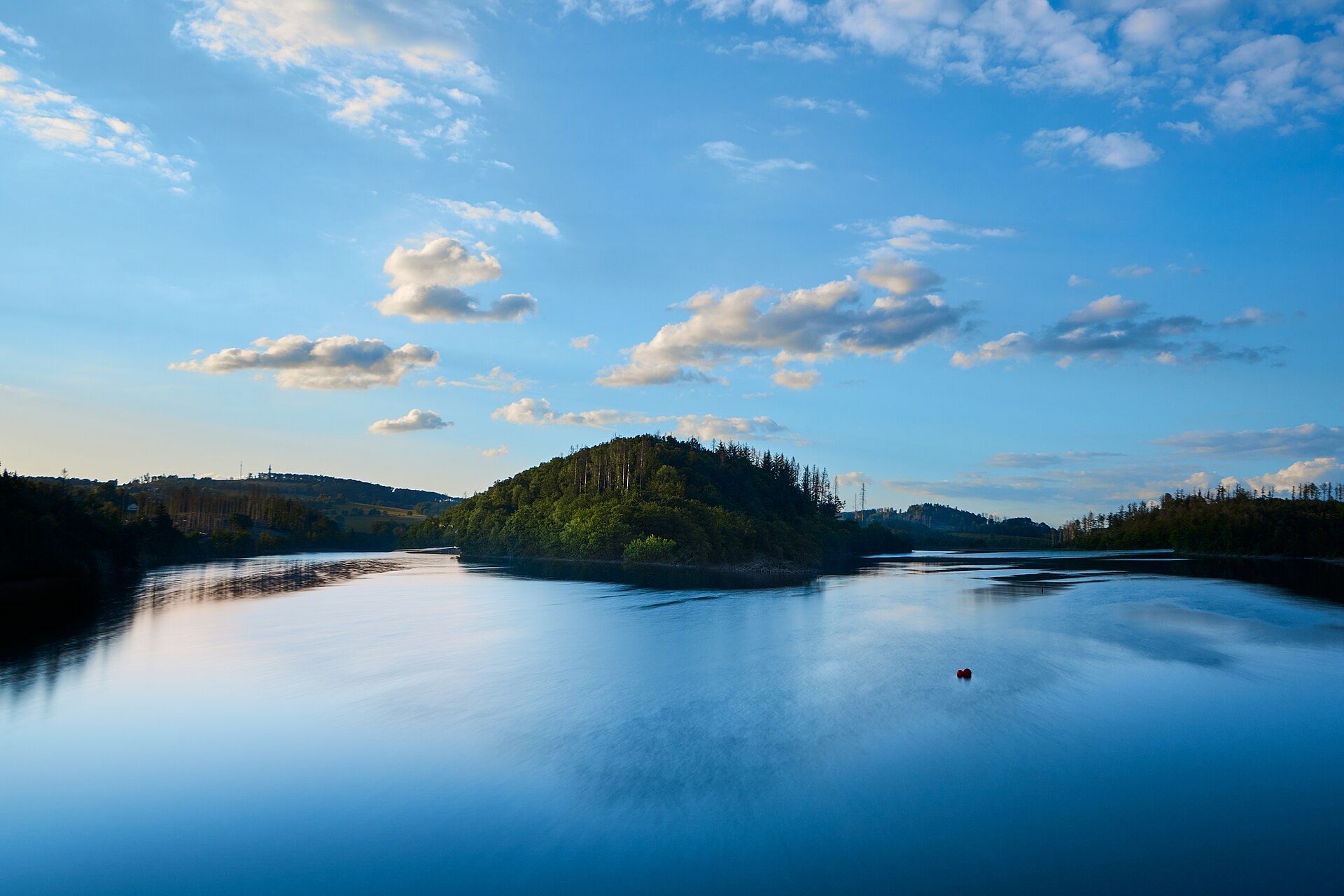
Bergischer Panoramasteig
Photo © Anil Öztas
18-26 days
599.8 km
4632 m
494 m
The Bergischer Panoramasteig is a long-distance hiking trail located in North Rhine-Westphalia, Germany, covering nearly 600 km through the Bergisches Land region. The route traverses varied landscapes including forests, lakes, summits and cliffs characteristic of this hilly territory. The trail offers an immersive experience in the modest yet contrasting relief of the region, with a highest point at 494 metres above sea level. With a cumulative elevation gain of more than 4,600 metres of positive ascent over the entire route, this long-distance trek constitutes a complete and authentic crossing of the Bergisches Land.
Stages
| Departure | Arrival | Accommodation on arrival | Profile | Duration | Distance | +Elev. | −Elev. |
|---|---|---|---|---|---|---|---|
1 EngelskirchenTown | KemmerichVillage | 4h45 | 18.8 km | +254 m | −221 m | ||
2 KemmerichVillage | Schutzhütte A3 - DurbachtalHut | 6h30 | 25.8 km | +354 m | −272 m | ||
3 Schutzhütte A3 - DurbachtalHut | HonsbergTown | 6h15 | 25.9 km | +262 m | −227 m | ||
4 HonsbergTown | WipperfürthTown | 6h45 | 28.2 km | +211 m | −196 m | ||
5 WipperfürthTown | HolzwipperTown | 5h30 | 22.3 km | +296 m | −202 m | ||
6 HolzwipperTown | HustenVillage | 8h45 | 34.1 km | +502 m | −411 m | ||
7 HustenVillage | MorsbachTown | 6h30 | 27 km | +244 m | −492 m | ||
8 MorsbachTown | KrahwinkelVillage | 6h00 | 23.5 km | +356 m | −256 m | ||
9 KrahwinkelVillage | WiehlTown | 6h30 | 27 km | +282 m | −330 m | ||
10 WiehlTown | PochwerkHamlet | 7h00 | 28.2 km | +283 m | −347 m | ||
11 PochwerkHamlet | Ferienhaus FelderLodge | 7h00 | 30.5 km | +59 m | −67 m | ||
12 Ferienhaus FelderLodge | Campingpark im Bergischen LandCamping | 10h15 | 44.7 km | +151 m | −78 m | ||
13 Campingpark im Bergischen LandCamping | Im KellerchenCamping | 8h15 | 36.4 km | +98 m | −44 m | ||
14 Im KellerchenCamping | RempergVillage | 6h15 | 28.2 km | +0 m | −57 m | ||
15 RempergVillage | HüngerTown | 11h45 | 51.7 km | +68 m | −78 m | ||
16 HüngerTown | Hotel am MarktHotel | 3h15 | 14.1 km | +58 m | −67 m | ||
17 Hotel am MarktHotel | BechhausenVillage | 7h15 | 31.7 km | +98 m | −183 m | ||
18 BechhausenVillage | Camping BröltalCamping | 8h15 | 36.4 km | +111 m | −64 m | ||
19 Camping BröltalCamping | Hotel-Restaurant LindenhofHotel | 7h45 | 31.7 km | +270 m | −293 m | ||
20 Hotel-Restaurant LindenhofHotel | MorsbachTown | — | 8h00 | 33.5 km | +251 m | −167 m |
Elevation profile
How to get there
Public transport
Fully accessibleThe Bergischer Panoramasteig is accessible by public transport. The official starting point at Engelskirchen is served by train from Cologne, while the finishing point at Blankenberg (Hennef) has a station on the line connecting Cologne and Siegen.
By car
Explore